An edited version of my adventure on the High Sierra Camps Loop appeared in the second issue of Sidewalk - A hiking and backpacking magazine
Day 4
Distance: 9.2 Miles
Vertical Gain: 1700'
Group Size: 6
Hike Rating: Easy Moderate Hard Strenuous

 GPX for
this trip
GPX for
this trip

| Start Coordinates: | N 37 52.699, W 119 20.315 (parking for first day's hike) | End Coordinates: | Same as Start Coordinates | ||
| Car Shuttle Req'd: | No | Parking Directions: | Take Highway 395 south from Monitor Pass toward Mono Lake. At Lee Vining, turn on Highway 120 (Tioga Pass) and enter Yosemite Park on the east side. About 10 miles into the park turn at the Wilderness Permit area (Tuolumne Meadows Lodge Road) and continue to the parking coordinates for backpacker vehicles. | ||
| Hazards of Note: | Wildlife, especially bears. Some of the trails are difficult and footing can be tenuous at times. Much of the uphill and downhill sections are made up of granite steps which are rough on the feet after time. | Crowd Factor: | Mixed. Yosemite is a very popular destination during the summer months, and this hike and option to stay in the HSC locations with served meals is available only by lottery system. The further into the park the trails will be less crowded, but there are many places for day hikers to pick up the trail system. | ||
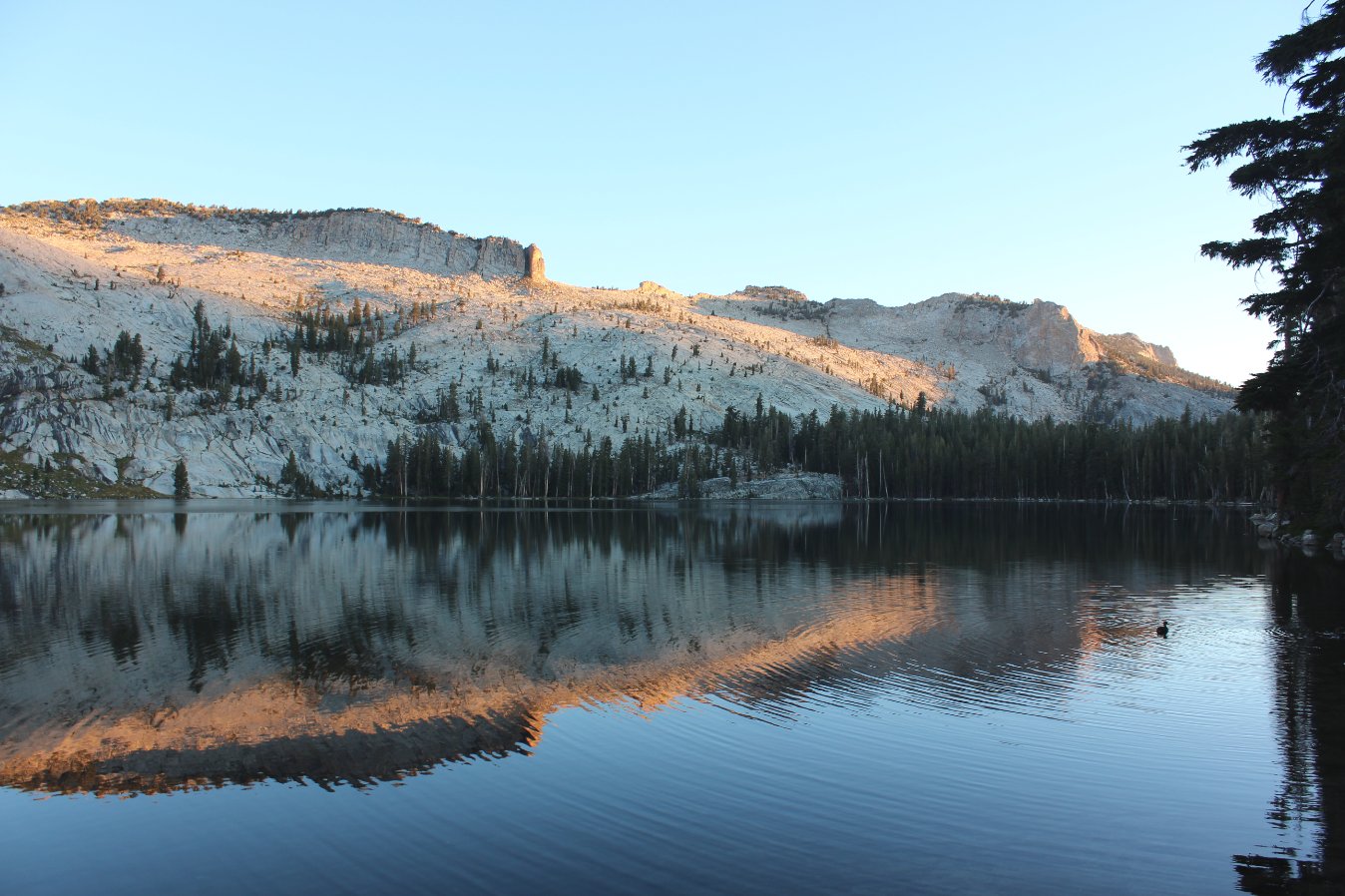
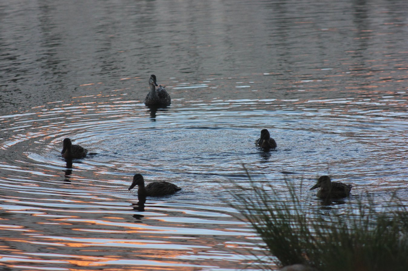
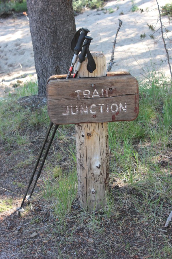
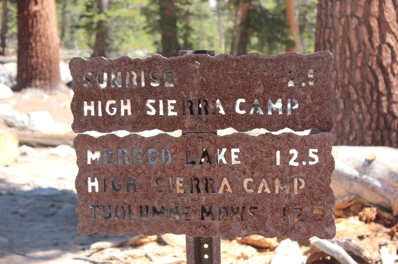
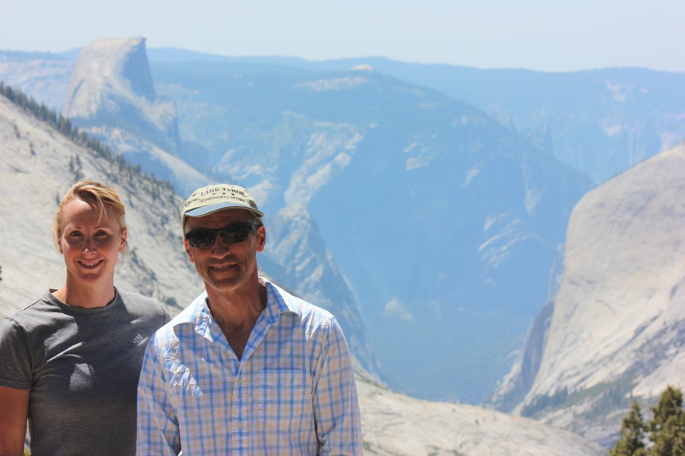
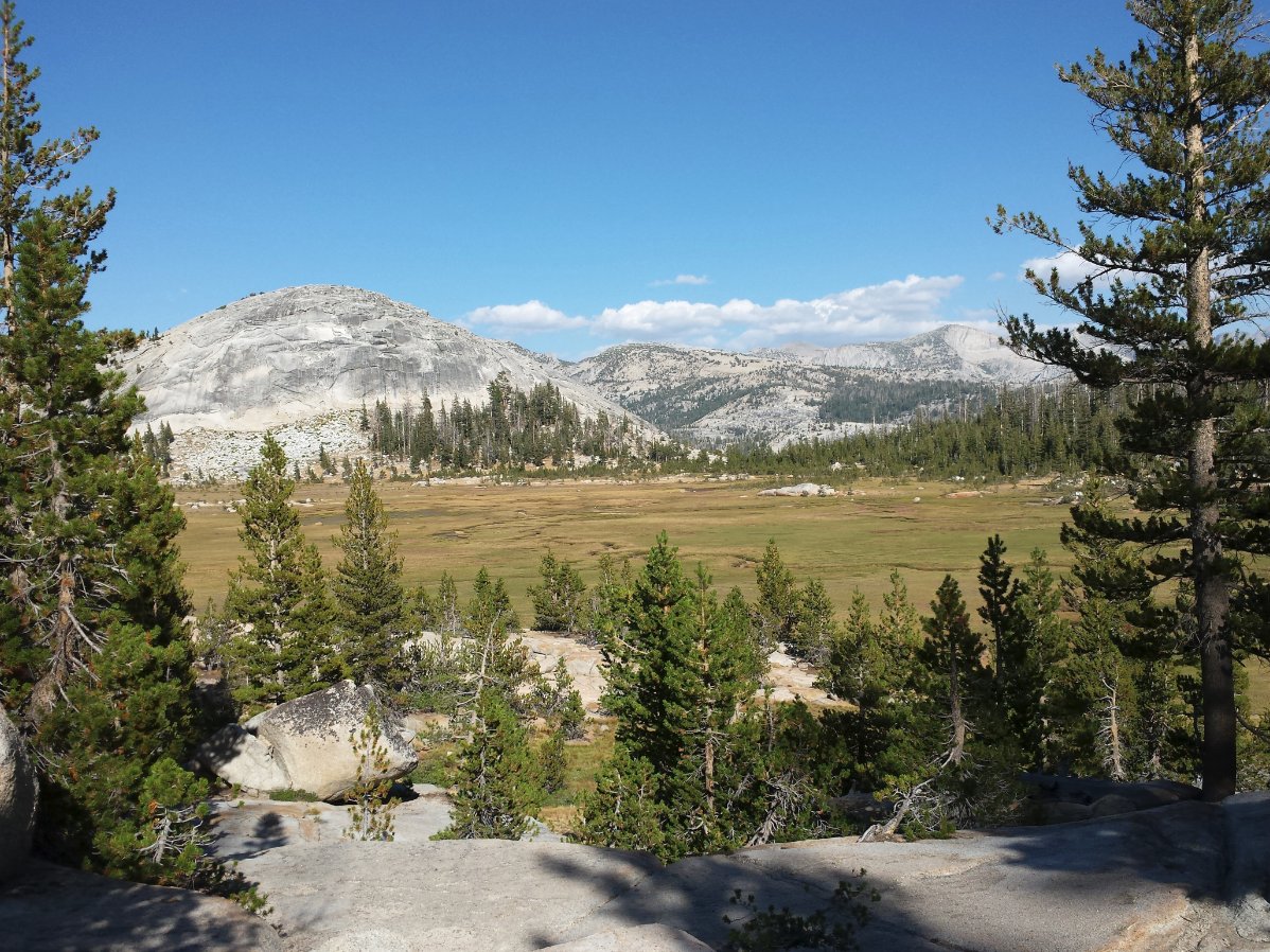
| General Notes: Day three started out with an early morning sunrise festival for the senses at May Lake. At 5am the blue in the eastern sky was just starting, and then the sun gradually coming up and hitting off the face of Mt. Hoffman was fantastic. Before breakfast we also spent some time on "The Ridge," getting sunrise shots of Vogelsang Peak and Half Dome from there. The first part of the trail headed down some of the old Tioga Pass road from the last 1800s, with some of the old pavement still hanging in there after all this time. Crossing the current Highway 120, which was a little bit of an iffy proposition at the time with gawking tourists driving and not really paying attention to hikers trying to get across the road, we then joined up with the multitudes of people setting off for a day hike to Cloud's Rest. This part of the trail was very steep and relentless, and after the climb yesterday it was difficult to put much speed behind another long, long series of ups. We had dropped down to just under 8000 feet by this time, only to gain everything we lost back from the morning in elevation plus some. The Sunrise camp is at 9300 feet, so we had a ways to go. At the junction of where you turn off the Cloud's Rest trail to head to Sunrise HSC, there is an unmarked, but obvious trail to the west which in about 200 yards presents a fantastic view down Tenaya Canyon into Yosemite Valley. This is not to be missed under any circumstances! After heading off toward Sunrise HSC, you will pass three Sunrise lakes on the way. The first is scenic, the second has a swimming opportunity and an island that some were enjoying, and then the third is where we stopped as it had a small beach on the Southwestern shore where we could drop our packs and get in to cool off for a little bit. The last part of the trail to Sunrise was just a little bit more up, up, and up, but the setting of the camp above the meadow with a nice view of Sunrise Mountain was very serene. |
|||||