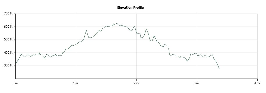
Distance: 4.3 Miles
Vertical Gain: 400'
Group Size: 10
Hike Rating: Easy Moderate Hard Strenuous

 GPX for
this trip
GPX for
this trip
NOTE: As of 2012 this trail has been fenced off and is currently in litigation regarding public access!
| Start Coordinates: | N 20 56.514 W 156 31.197 | End Coordinates: | Same as starting coordinates | ||
| Car Shuttle Req'd: | No | Parking Directions: | Take the Kahekili Highway (340) north about 6.5 miles from Wailuku. Turn left at Waihee Valley road, and continue on this windy narrow road to the parking area indicated at the coordinates. | ||
| Hazards of Note: | We aware of current conditions as this area is susceptible to flash flooding in heavy downpour times. | Crowd Factor: | Busy. This is a very popular trail with locals and tourists alike. | ||
| General Notes: This trail was used by the school children from Kahului and Wailuku who would travel it twice a week to get to Lahaina for schooling during the colony years on Maui. This is a tough trail, and is a testament to the conditions that the early settlers/colonists faced getting from place to place on the island. There is much to see from this trail, which offers great views of Mt. Haleakala to the south, and the islands off the west coast of Maui including Molokini, Kahoolawe and Lanai the further along you get. You will also pass by a number of the tall windmill power generators which have been placed on this slope over the past ten years, and they are impressive in size when you get close to them. |
|||||