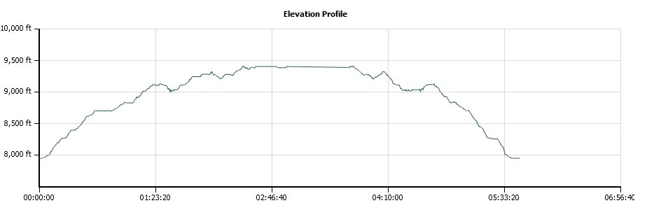
Distance: 8.1 Miles
Vertical Gain: 1800'
Group Size: 4
Hike Rating: Easy Moderate Hard Strenuous

 GPX for
this trip
GPX for
this trip
| Start Coordinates: | N 38 42.338, W 120 06.456 | End Coordinates: | Same as Start Coordinates | ||
| Car Shuttle Req'd: | No | Parking Directions: | Take Highway 88 to the signed parking area for Thunder Mountain trailhead approximately 3 1/2 miles east of Silver Lake. | ||
| Hazards of Note: | Weather in this area can
change quickly so be prepared for various temperatures and rain. |
Crowd Factor: | Moderate. This is a well marked and maintained trail but not overly travelled. | ||
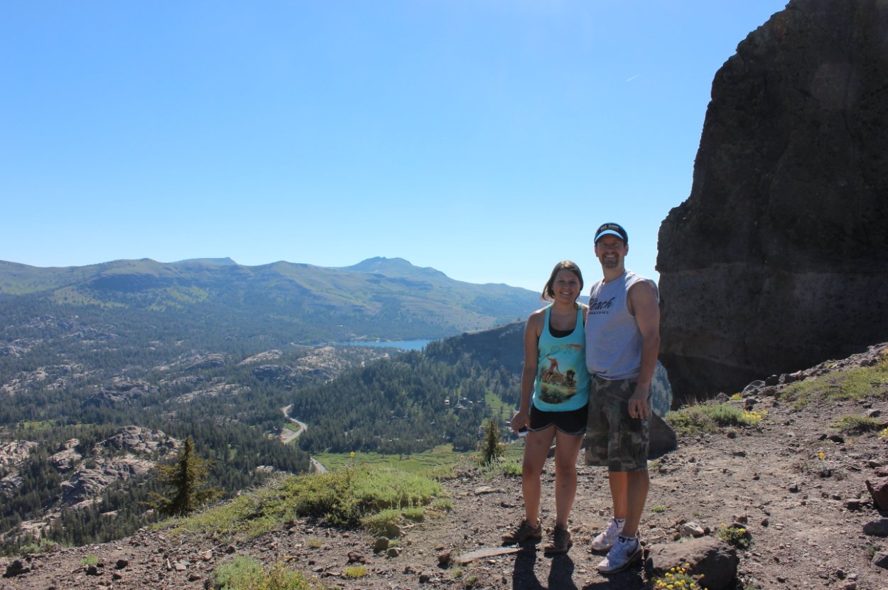
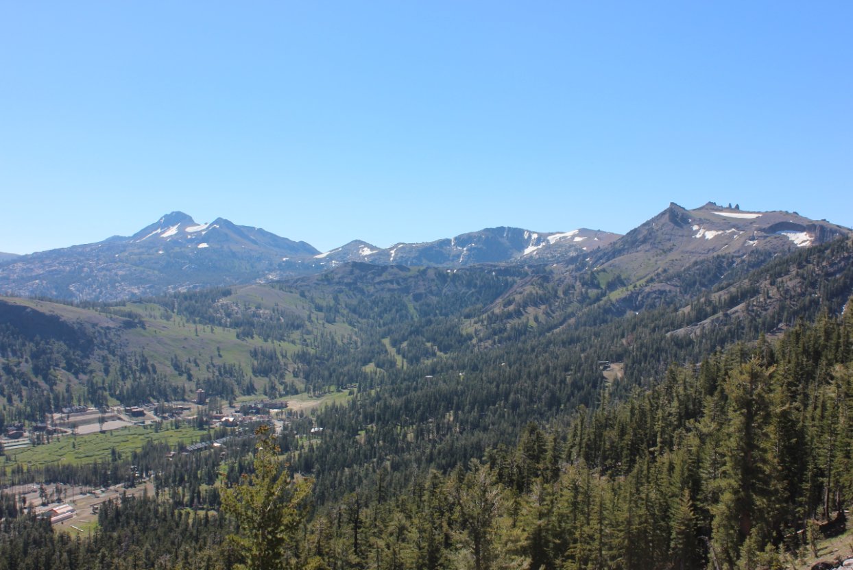
| General Notes: From the parking area head up the first section of the trail through forest and wildflowers until you pass by some avalanche control structures on your left. You will soon reach the ridge with great views to the north and east, and then will head almost due south along the ridge for the rest of the hike. About halfway to the peak you can take a short side trip to the west to the top of Martin Peak, and then continue along the trail for another mile. Here the trail will bend west, and then head up toward the top of Thunder Mountain peak and its spectacular view of Silver Lake far below. |
|||||