Distance: 8.5 Miles
Vertical Gain: 3000'
Group Size: 7
Hike Rating: Easy Moderate Hard Strenuous

 GPX
for
this trip
GPX
for
this trip 
| Start Coordinates: | N 38 40.037 W 119 48.941 |
End Coordinates: | N 38 38.427 W 119 54.957 |
||
| Car Shuttle Req'd: | Yes | Parking Directions: | For the start of the hike:
Take
Highway 89 to the town of Markleeville. Turn west on Hot
Spring
Rd, than turn left to follow Pleasant Valley road. This will
turn
into Sawmill Road, and then turn onto Forest Service road 71 and follow
this High Vechicle clearance (or 4WD) required dirt road to the parking
area where the signed start of the trail can be found. Note
that
there are a couple crossings of Spratt Creek on this section of road
and it may not be passable during times when the water is high. For the end of the hike: Take Highway 88 to the Blue Lakes Road turn south, just to the west of Pickett's Junction. Go south on Blue Lakes road 10 miles to the parking area listed at the GPS coordinates. There is a small pull-out on the west side of the road that can accomodate 4-5 vehicles at this location. As of 2019 a new kiosk for the start of the canyon hike has been added near the start of this trail. |
||
| Hazards of Note: | Bears, ticks, rattlesnakes,
steep |
Crowd Factor: | Minimal.
Until 2019, the Thornburg Canyon trail had not
been
maintained to any
degree
in more than a decade, so traffic on the trail is going to be low until
word gets out about this newly restored trail between Markleeville and
Blue Lakes Road. |
||
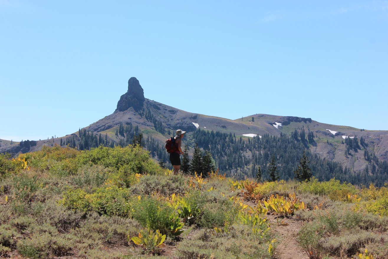
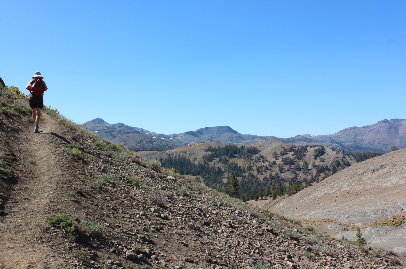
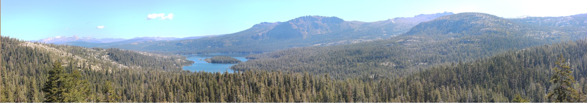
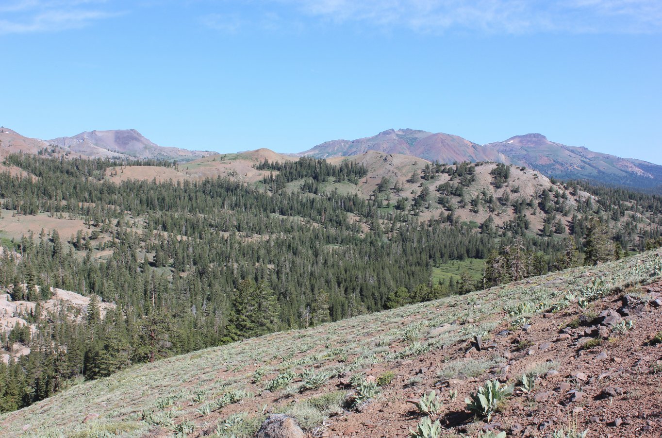
| General
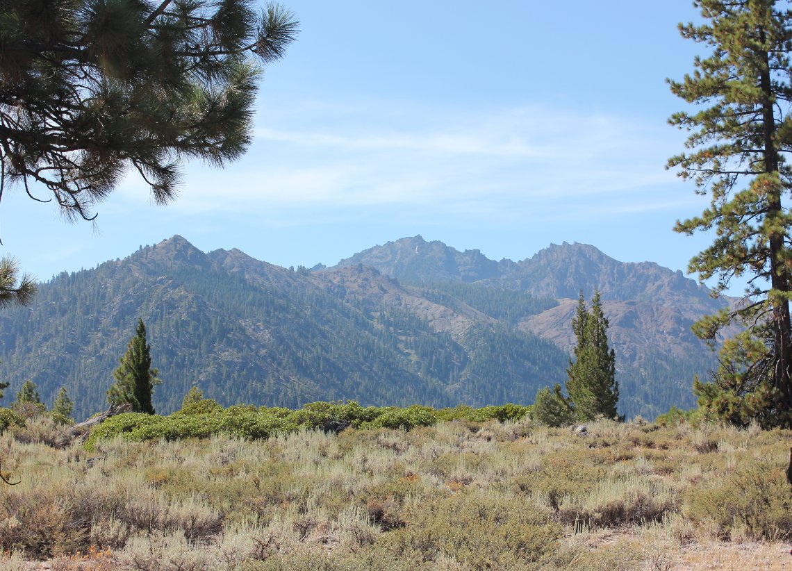
Notes: From the parking area, pass by the trailhead sign and head across and open area which will soon offer some impressive views of Raymond Peak to the southwest. Continue up the trail above the canyon to your right and a couple of times you will find viewpoints down into gorgeous Pleasant Valley to the left. This is a private valley that is not accessible, but offers impressive scenery along the way. As you bend a sharp turn and head into a forested section, you will enter into the Mokelumne Wilderness, which was signed at one time but on this date the only thing left was a splintered post in the ground. This entire trail from the east to the west is mostly uphill, except for a short section of somewhat level trail about 3 miles in. There are impressive rock formations towering above this section on the north side of the trail, and eventually you will see Thornburg Peak on the south side as you head up the canyon. About 5 miles into the hike you will climb out of the forest and initially have impressive views of Jeff Davis Peak to the left and Markleeville Peak to the right. As you continue to climb, you will come up over a rise which will offer views from south of Highway 4 all the way to Waterhouse Peak to your north. |
|||||


