Distance: 16.7 Miles
Vertical Gain: 2000'
Group Size: 1
Hike Rating: Easy Moderate Hard Strenuous

 GPX for
this trip
GPX for
this trip

| Start Coordinates: | N 39 04.629, W 120 14.096 | End Coordinates: | N 39 10.150, W 120 08.923 |
||
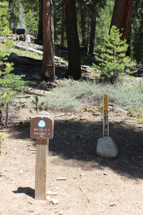
| Car Shuttle Req'd: | Yes | Parking Directions: | To get to
the parking area for Barker Pass, take Highway 89 to Barker
Pass Road, which is just north of the town of Tahoe Pines.
Drive about 7.4 miles up Barker Pass road to the parking area
on the right for the Pacific Crest Trailhead. The last half
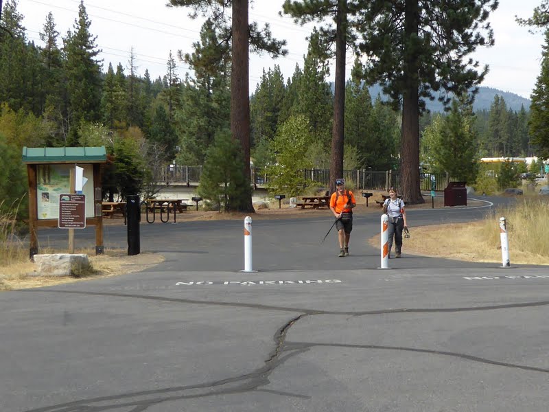
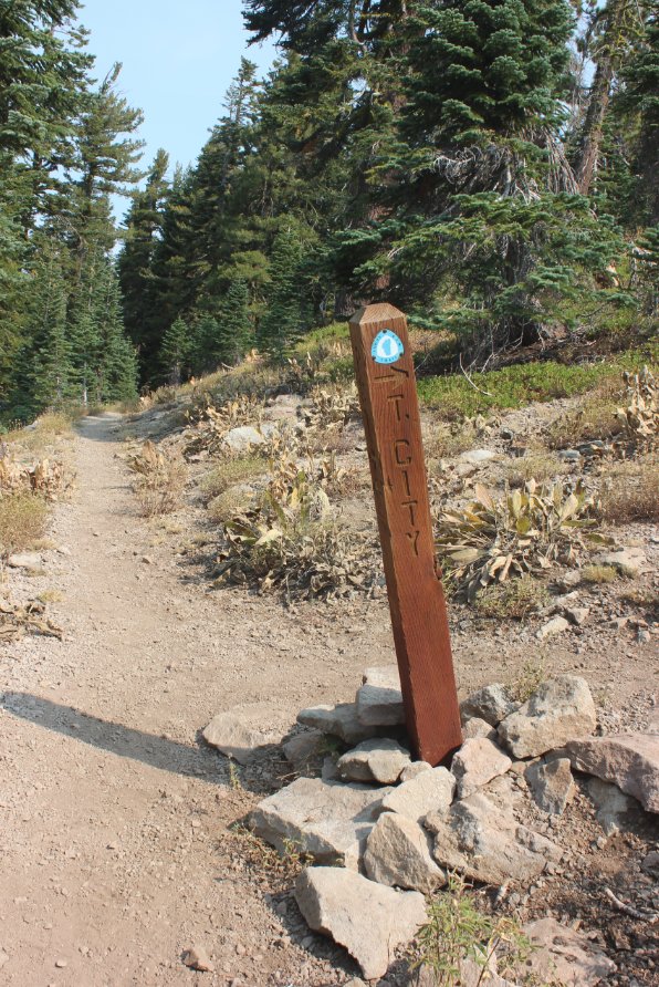
mile or so is unpaved dirt road. For the parking area at Tahoe City, Take Highway 28 to Tahoe City, and then turn west on West River Road. Follow this for 2/10 of a mile and then turn right on Fairway drive. The parking area is at the coordinates just about a quarter mile up the road. The trailhead is on the west side of the road with a signed marker for the Tahoe Rim Trail. |
||
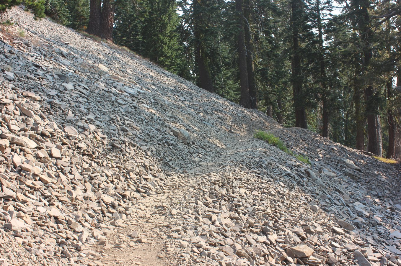
| Hazards of Note: | Sections of this trail are very rocky and need careful attention to not roll an ankle awkwardly. | Crowd Factor: | Minimal then Moderate. The first 6-8 miles are along a lesser used section of the TRT, and you may encounter a few PCT thru hikers or hikers potentially heading up to Twin Peaks about 6 miles along the way from Barker Pass. After crossing Ward Creek Rd you will probably run into more hikers, bikers and runners in the area of Page Meadows. | ||
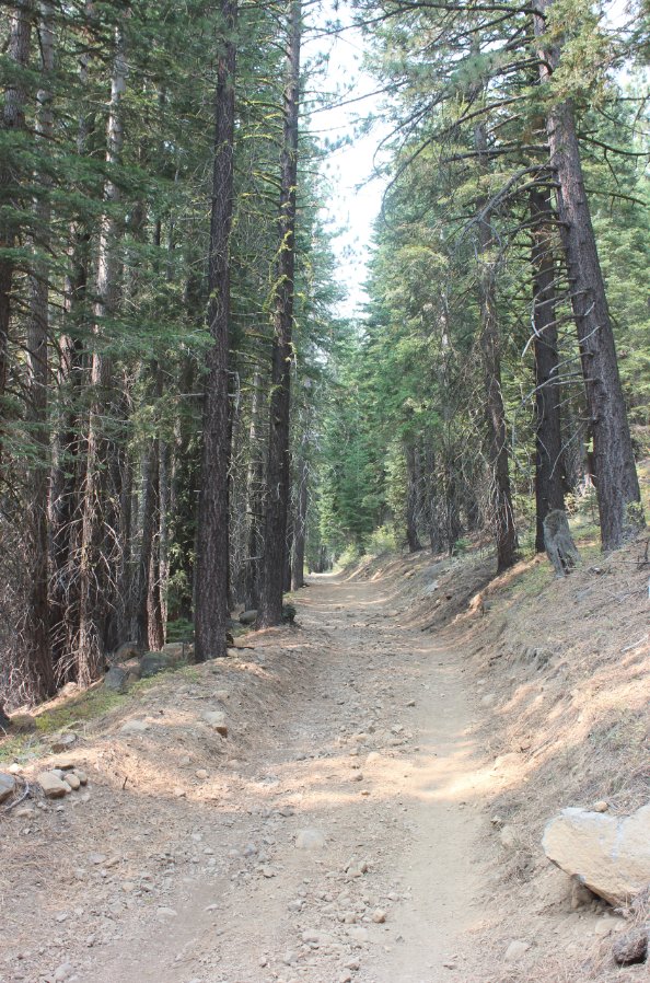
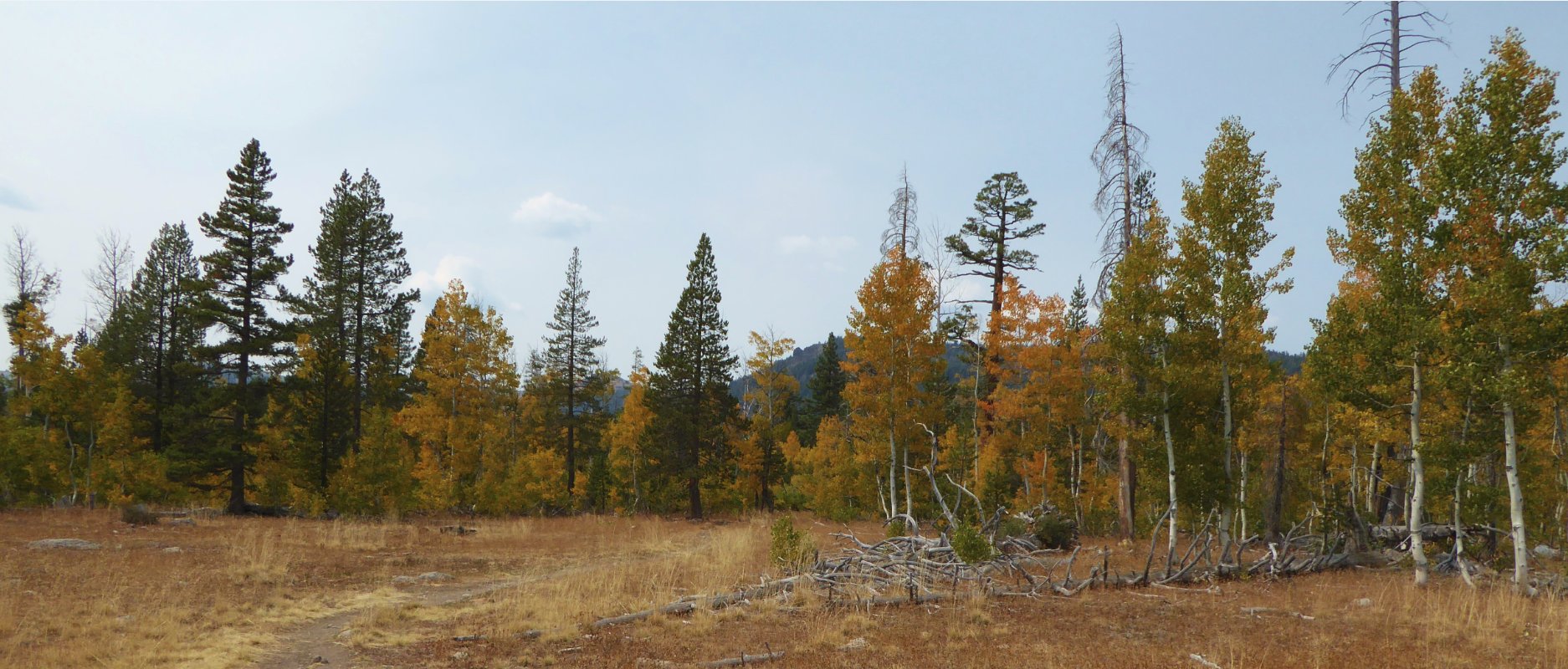
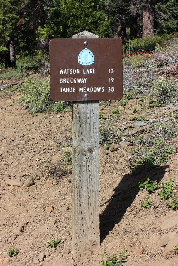
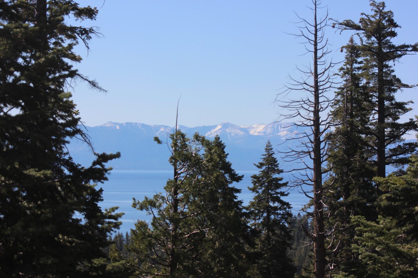
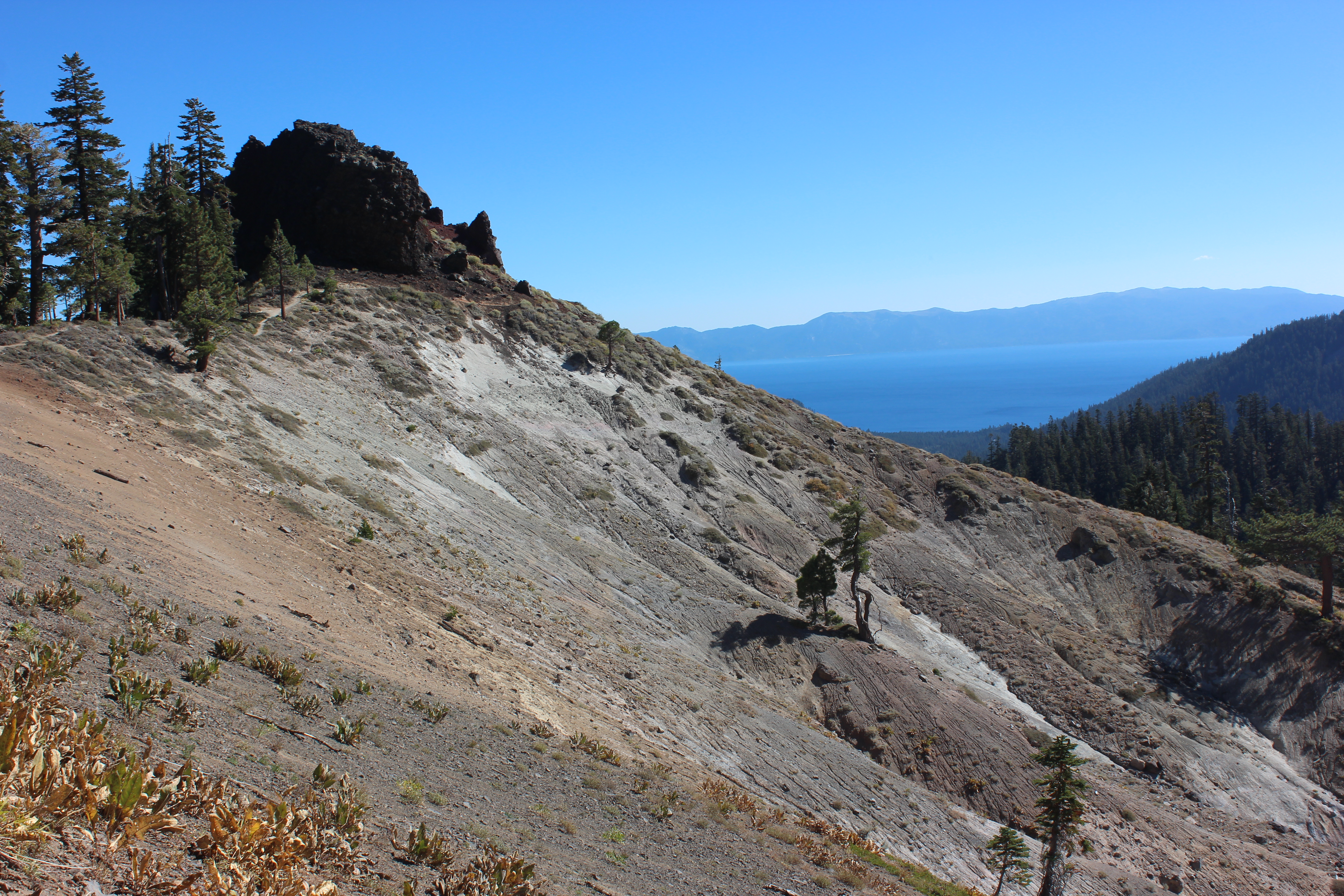
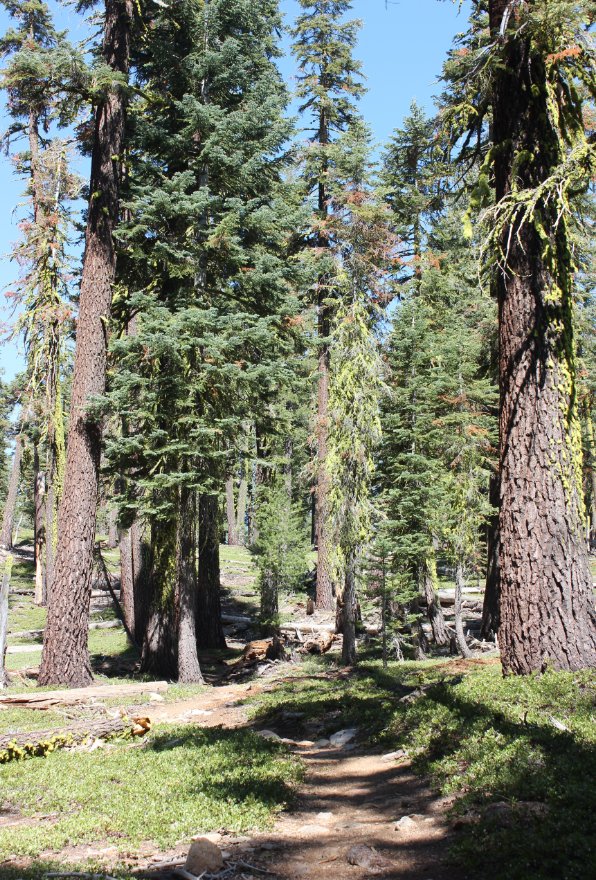
| General Notes: The Barker Pass parking area is just off a dirt section of Barker Pass Rd, which heads up Blackwood Canyon from Highway 89 for about 7 miles. From the parking area head north, past the trail marker signs for both the Pacific Crest Trail and the Tahoe Rim Trail. The trail starts upward almost immediately, climbing elevation pretty gradually as it winds around the west side of the rocky topped Barker Peak. About one mile into the trip there is a junction for a trail off to the right, which actually leads to the top of Barker Peak as a diversion, but it is a little bit out of the way and back the way you started so it was passed on by this day. After climbing about 600' in elevation, the trail passes by a rocky outcropping with some great views of Tahoe (and straight down the other side.) This is a quick scenic diversion if interested, and then back on the trail some long switchbacks take you down almost the entire 600' in elevation that you just gained hiking from the trailhead. After the trail finally stops dropping elevation it then begins another series of long switchbacks as you climb again, which continues on past where you briefly trek through Granite Chief Wilderness area, than turn right at the signed junction for where the PCT and the TRT split, heading right to follow the TRT toward Tahoe City. Less than a mile from this junction is a small use trail off to the left after you pass by the Twin Peaks above you, and this is a 1/2 mile trail which will lead you to the top of Twin Peaks. From this point on the trail you begin to drop some serious elevation, losing 2000' feet over the next 3 1/2 miles as you head down into Ward Creek Canyon. You will see views of the back of Alpine Meadows at one point, but for most of the hike through this area you can't seem much more than the trees you are traipsing through. There is a small spring on your left as you wind around on the north side of Twin Peaks which can serve as a good water source as needed in this area, and then you will cross over Ward Creek on a wooden bridge and turn to the east for the next mile and a half. You will Cross the paved Ward Creek Rd about 11 1/2 miles along the segment, begin a climb once again and then in 1/2 a mile catch an old dirt road which will head up with some significant elevation gain until you reach the Page Meadows area at 13 miles into the day. This is a good place to rest and enjoy the meadow, with either water and wildflowers in the spring or turning aspen in the fall. The last three miles are fairly non-descript, but the excitement of finishing up as we got into Tahoe City knowing that the entire Rim Trail was now completed more than made up for any lack of long distance views. |
|||||


