Distance: 20.2 Miles
Vertical Gain: 3180'
Group Size: 2
Hike Rating: Easy Moderate Hard Strenuous
 GPX for
this trip
GPX for
this trip

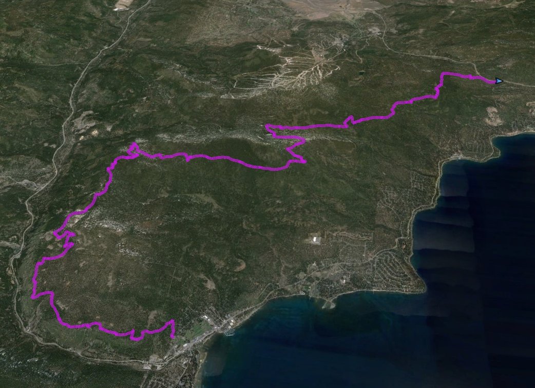
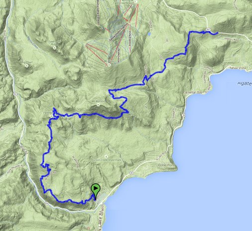
| Start Coordinates: | N 39 10.150, W 120 08.923 | End Coordinates: | N 39 15.508, W 120 03.869 | ||
| Car Shuttle Req'd: | Yes | Parking Directions: | For the parking area at Tahoe City, Take Highway 28 to Tahoe City, and then turn west on West River Road. Follow this for 2/10 of a mile and then turn right on Fairway drive. The parking area is at the coordinates just about a quarter mile up the road. The trailhead is on the west side of the road with a signed marker for the Tahoe Rim Trail. For the parking area on Brockway Summit, take Highway 28 to Tahoe Vista, and then turn north on Highway 267, North Shore Road. Follow this highway 2 3/4 miles to the parking area on the left (east) side of the road. | ||
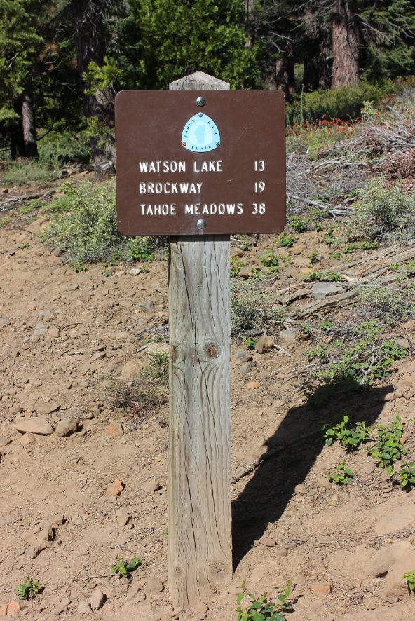
| Hazards of Note: | This is a long segment, and water is only available (filtered) at Watson Lake, 11 miles into the hike from Tahoe City. | Crowd Factor: | Moderate. This is a popular mountain biking area so keep an eye out for quickly approaching bicyclists. | ||
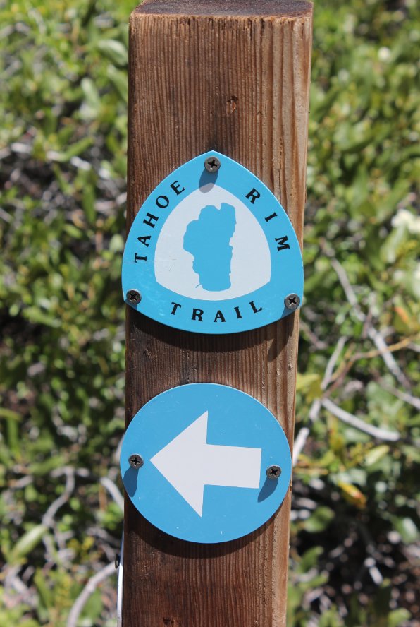
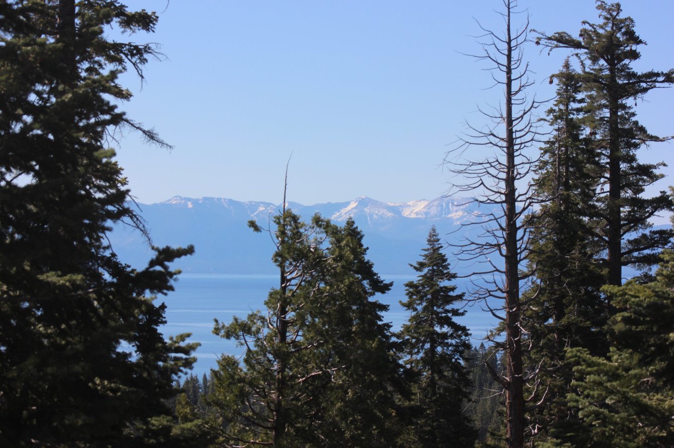
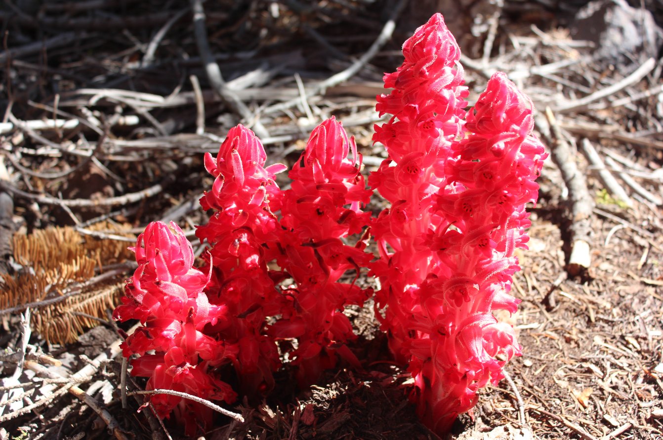
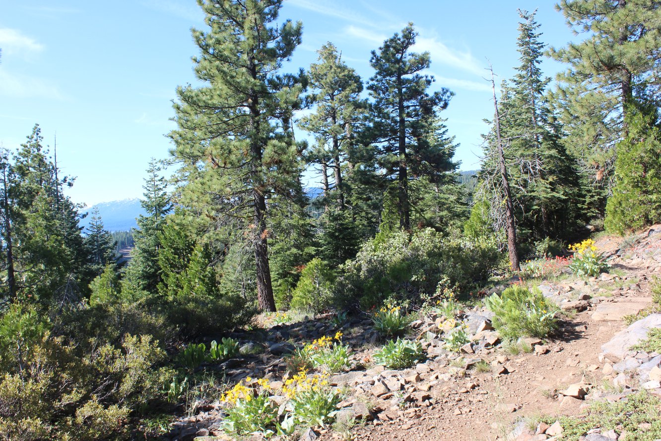
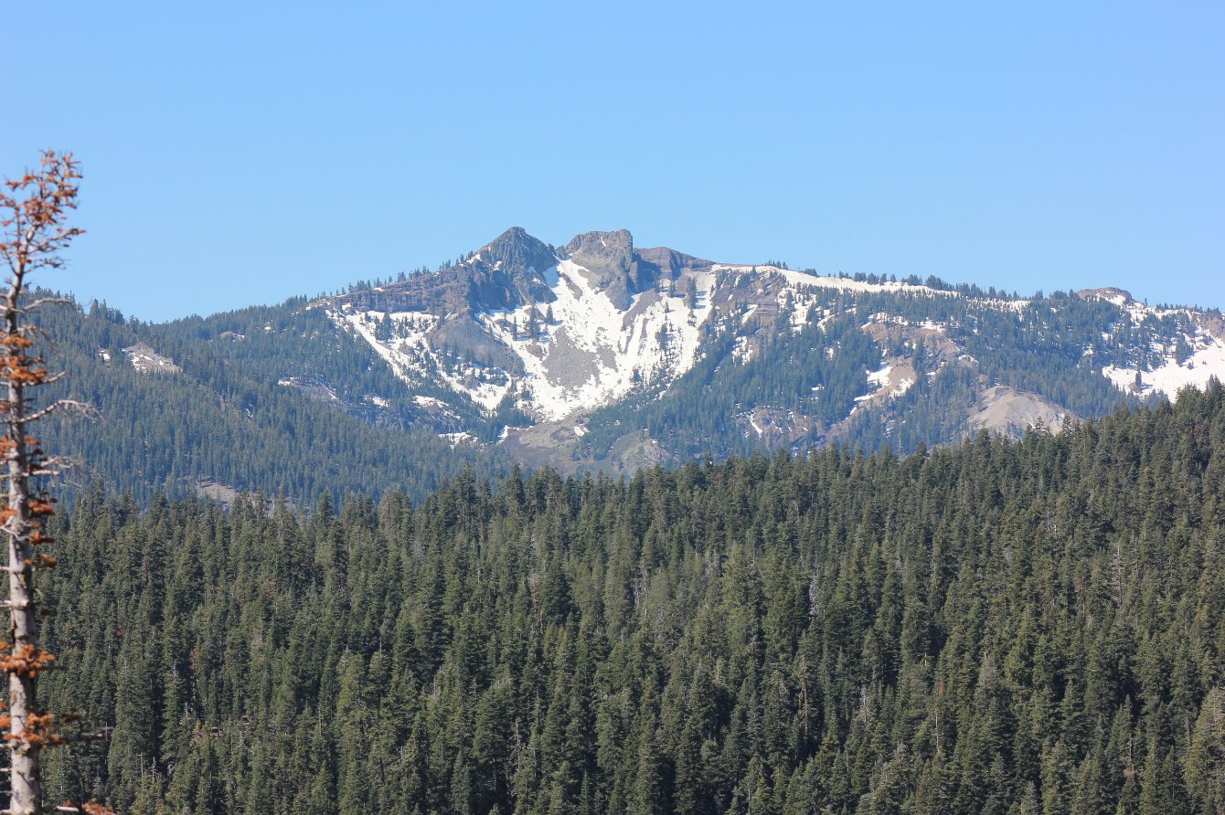
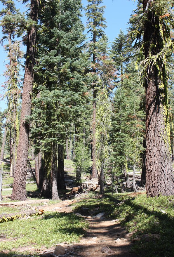
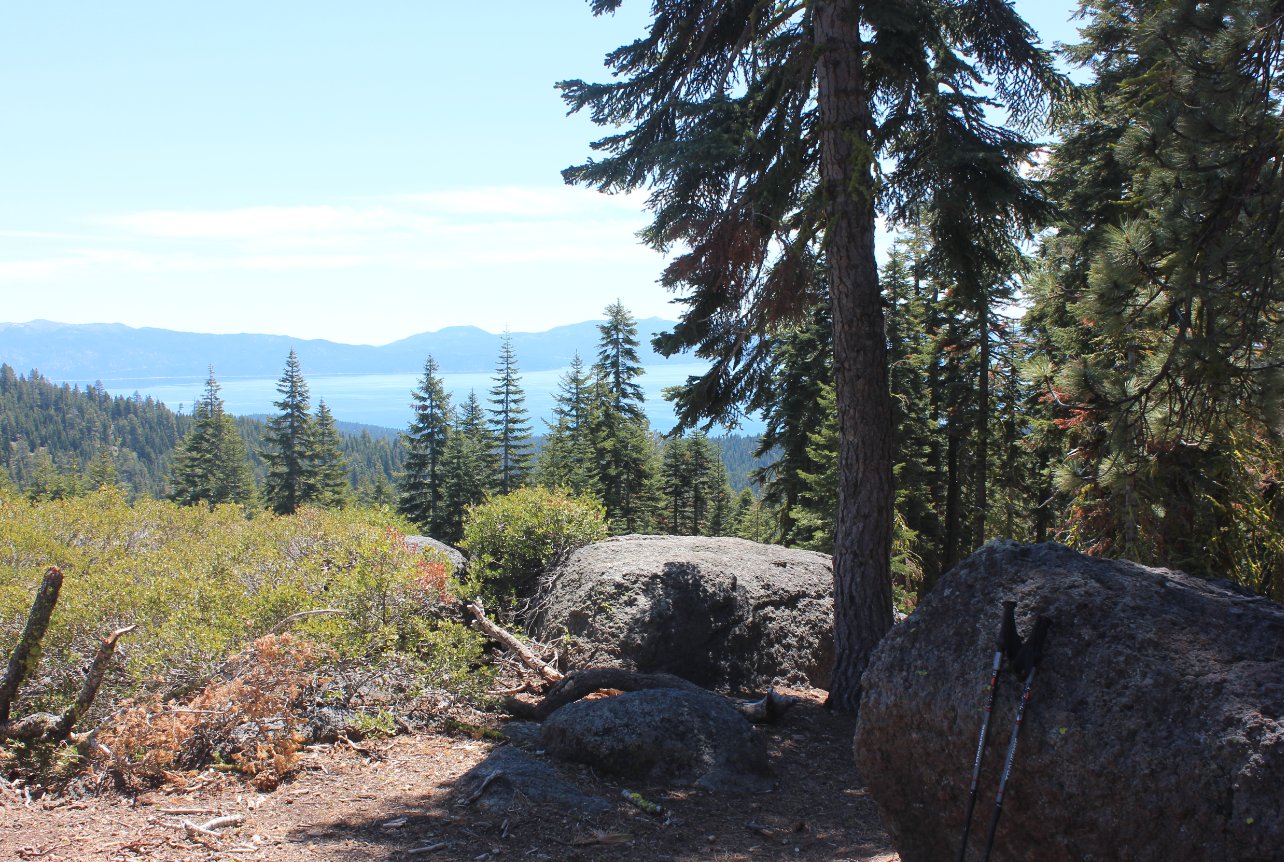
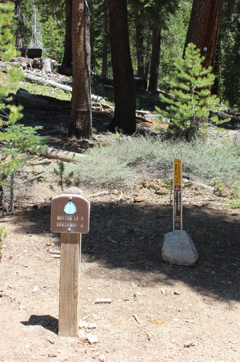
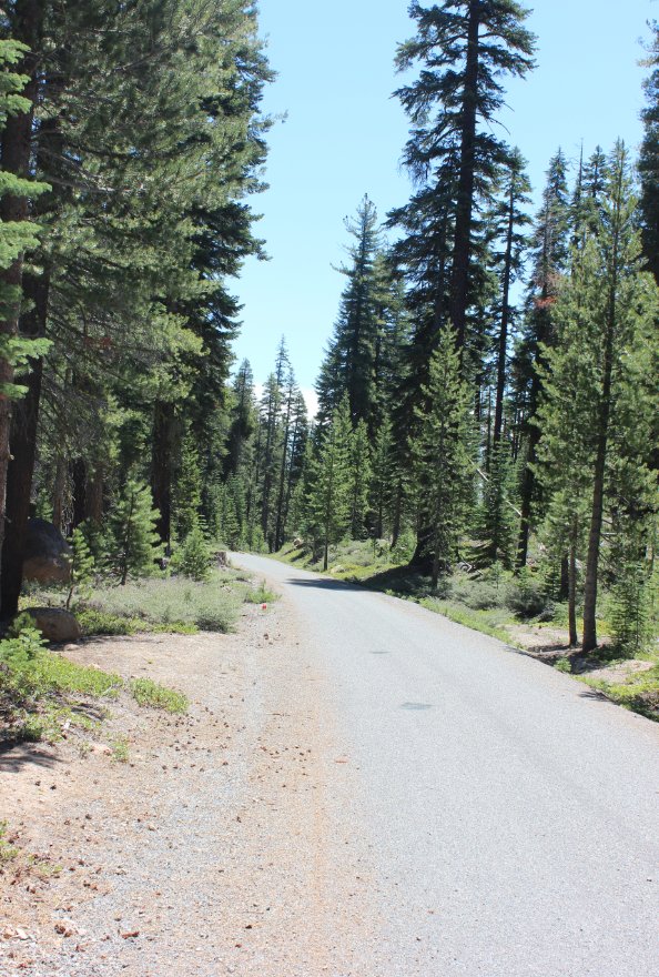
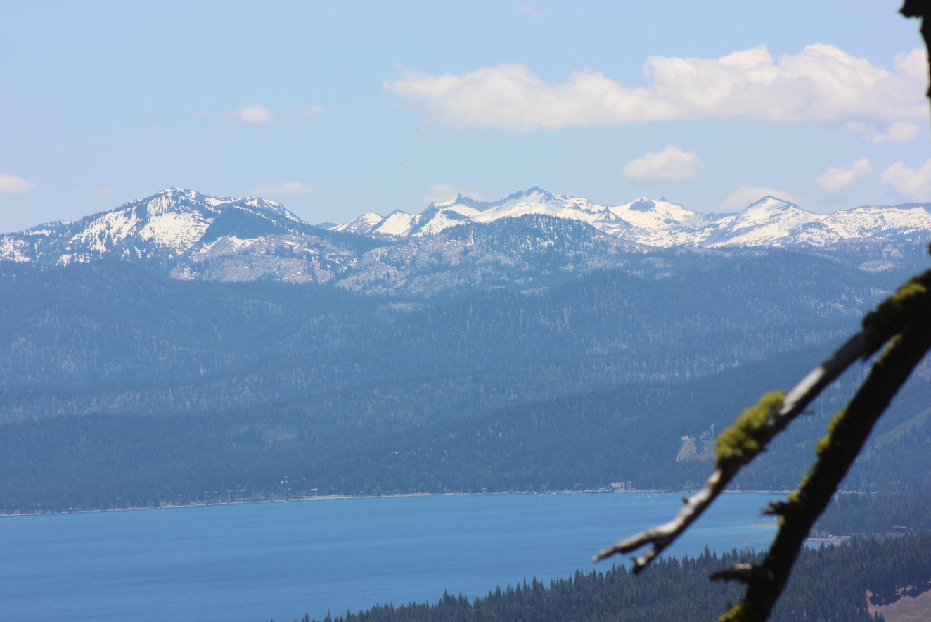
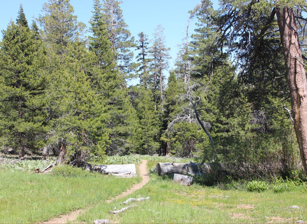
| General Notes: From the start of the hike the trail begins to climb quickly, up through the forest for over a 1000' elevation gain over the first couple few miles. Near the first mile you get your first sights of Lake Tahoe and the mountains in the distance to the south, and as you wind east you will also soon begin to catch sight of some of the mountains to the west including Twin Peaks and Ellis Peak. As you begin to head north as the trail follows the Truckee River far below, Alpine Meadows and then Squaw Valley ski areas begin to appear and amazing views of Granite Chief, Tinker Knob and even Mt. Anderson further and further to the north are available along your way. Near the base of Painted Rock the trail then starts to head to the east, and you gain and lose elevation a little bit at a time as you hike along the south side of Mt. Watson. About a mile past Painted Rock you will actually cross paved Mt. Watson Road, which is otherwise known as the "Fiberboard Freeway" after it was paved to make access for logging easier in the past. This is also a spot that this hike could be split in half, using the trail junction of the TRT and Mt. Watson Road as a pickup and drop off spot for hikers. As you continue on the peak of Mt. Watson is never really visible through the trees, but there are stands of wildflowers everywhere and a couple more views of Lake Tahoe to keep you mind occupied along the way. A couple of sharp switchbacks eventually lead you to Watson Lake, where you will pass along the eastern edge and maybe catch a glimpse of campers on the other side of the lake as you head north. Past the lake the trail will turn sharply east, and more or less follow this direction for the last six miles of this section of the TRT. Most of this last part of the hike is in forested area with little to no views of the lake to your south, but it is pleasant and with only a few final elevation gains along the way a pretty mellow way to finish up the end of a very long hike. The last mile has you cross the Fiberboard Freeway once again and head south, parallelling Highway 267 for a little over half a mile before finally rising up to meet it at the end parking area. |
|||||