Distance: 6.8 Miles
Vertical Gain: 400'
Group Size: 2
Hike Rating: Easy Moderate Hard Strenuous
 GPX
for
this trip
GPX
for
this trip

| Start Coordinates: | N 38 58.922, W 121 01.622 | End Coordinates: | Same as Start Coordinates | ||
| Car Shuttle Req'd: | No | Parking Directions: | Take
Highway 80 to the Clipper Gap exit (#125.) Head one mile north on
Placer Hills road. Turn left on Sugar Pine Drive and go just
about one tenth of a mile. The parking area is a narrow turnout
on the left side of the road. |
||
| Hazards of Note: | Rattlesnakes, ticks, poison oak, and a series of steep switchbacks about halfway along the loop. | Crowd Factor: | Moderate.
Most of this trail circumnavigates a country club estate area and
houses are visible from the majority of the trail. Horses and
runners frequent this trail along with hikers. |
||
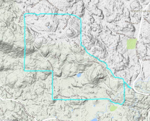
| General
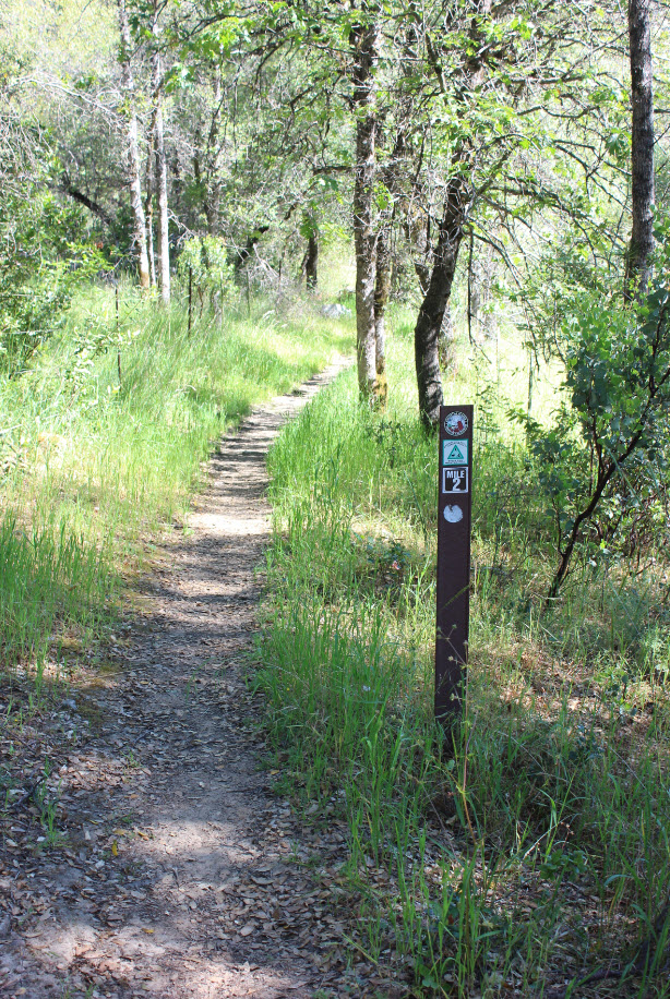
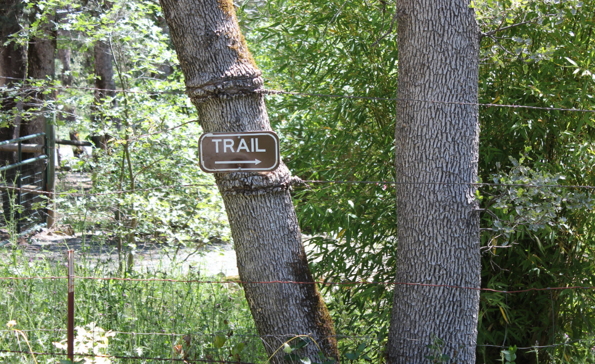
Notes: From the parking area head north up the road toward the gated community entrance and find the start of the hike on your left hand side. A vertical trail marker with the mile 0 indicated on it will head on up a single track trail from here. For the duration of the loop, the trail will follow the outside border of the Winchester Estates gated community. Within the first mile you will pass by an open recreational field where soccer or football activities might be occuring depending on the time of year, so be wary of cars heading along the paved road you will have to cross. Just about halfway through the loop is a series of 24 steep switchbacks up to the highest point of the trail on Sugar Pine Mountain. This section is completely different from the easy trail on either side of it, and offers only limited visibility of the area from the top. After dropping back down the trail bends east and then to the south after a couple miles, bringing you back to the trailhead on the other side of the road from the mile 0 marker. |
|||||

