
|
Sawmill
Cove (Fallen Leaf Lake) hike
|
|
Trip Date: 08/31/2014
Distance: 2.1 Miles
Vertical Gain:
50'
Group Size:
5
Hike Rating: Easy
Moderate
Hard
Strenuous |
 GPX for
this trip
GPX for
this trip
|
|

|
Start Coordinates: |
N 38 54.702, W 120 04.012 |
|
End Coordinates: |
Same as Start Coordinates
|
| Car Shuttle
Req'd: |
No |
|
Parking
Directions: |
Take
Highway 89 to Cathedral Road. Turn west on Cathedral road and
continue on it (passing by a gate which is only open during the summer
months) to the parking spot which will be on your left hand side. |
| Hazards of
Note: |
None. |
|
Crowd Factor: |
Minimal.
Even on a busy weekend this area is infrequently visited
except
by a few historically interested people or some of the residents of the
cabins on this side of the lake. |
General Notes:
From
the parking area on the side of the road, head along the trail that
starts at a blue sign warning of invasive species being introduced into
the lake. The entire trail is a well-marked dirt path, and
once
you get to the lake, you will turn to your right and parallel the lake
for a little bit until you reach the ruins of the main Baldwin Estate
lodge. From there, continue on the direction you were heading
and
the boathouse will soon be visible on your left. There is a
somewhat steep path down to the boathouse, but it is easily navigatable
by most sure-footed hikers. |
|
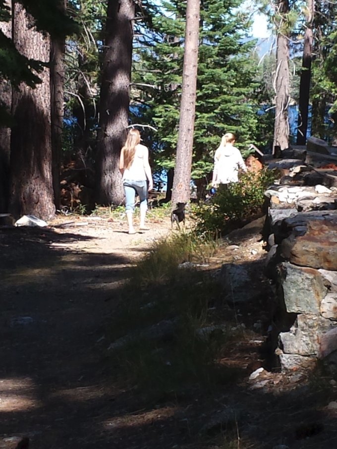
|
Heading out early on the trail
through the forest. |
 |
|
Very soon on the left is the
old caretaker's cabin. It appears to be in much better shape
than any of the other former Baldwin Estate buildings. |
 |
|
Most of the trail is very
flat, and easy to follow as you first head down to the lake right by
the cove. |
 |
|
Even for a somewhat windy day
this section of the cove was very still and peaceful. A few
boaters were try to take advantage of the lack of wind along this
stretch of lake. |
 |
|
Headed past the first cove
area number of traces of people having lived here, but nothing like
what you find a little further on. |
 |
|
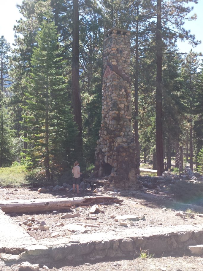
The ruins of the main lodge
soon come into view, dominated by the huge central fireplace which
still stands. The rest of the building burned years ago, but
the craftsmanship is outstanding on this spire. |
 |
|
One of our group checking out
the chimney after first arriving at the site.
|
 |
|
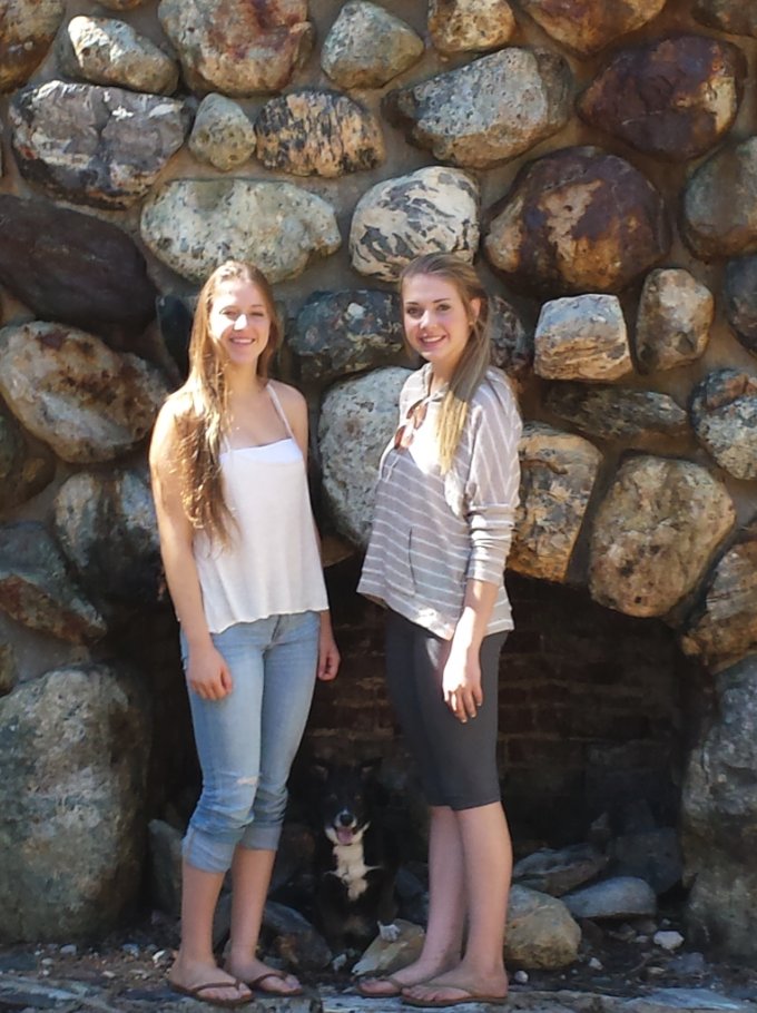
A couple shots of our group
members checking out the location up close. |
  |
|
High above the trail is the
ever-present Mt. Tallac which dominates this side of the lake. |
 |
|
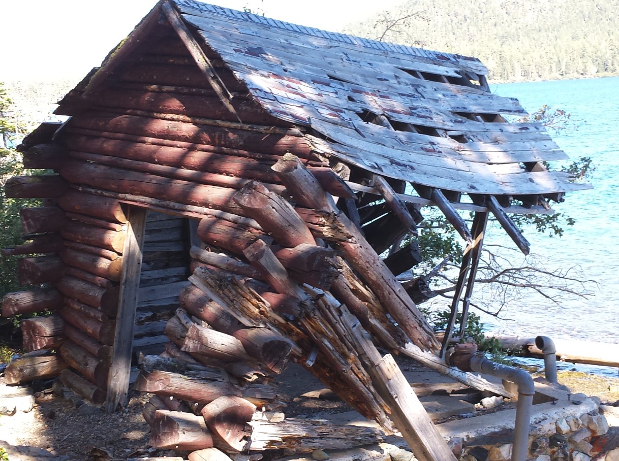
All that is left of the old
boathouse down at the shoreline.
|
 |
|
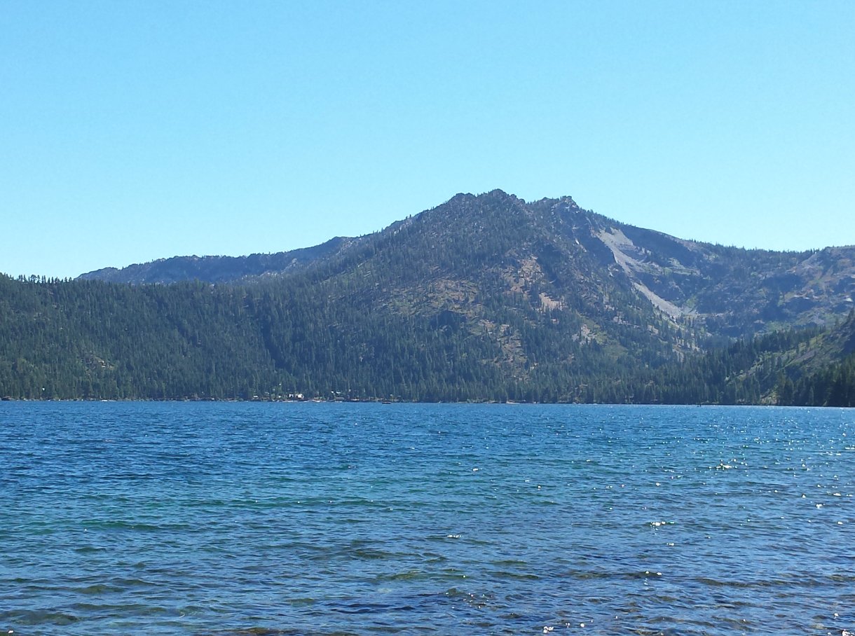
Directly across the lake from
the boathouse area is a majestic view of Freel Peak.
|
 |
|
Directly to the west is a
great view of Angora Peak and the Glen Alpine trailhead area into
Desolation Wilderness.
|
 |
|
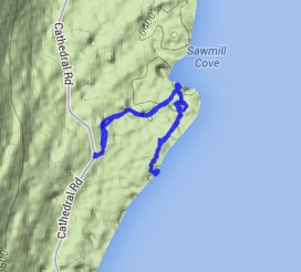
GPS Track of the full hike. |
 |