Distance: 8.6 Miles
Vertical Gain: 1500'
Group Size: 2
Hike Rating: Easy Moderate Hard Strenuous

 GPX for
this trip
GPX for
this trip

| Start Coordinates: | N 38 41.803 W 119 59.492 | End Coordinates: | Same as Start Coordinates | ||
| Car Shuttle Req'd: | No | Parking Directions: | Take Highway 88 to the parking on the north side of the highway, about a quarter mile from the ranger station parking area across the highway and to the south. Pay the day use fee (summer only) and find the trailhead just at the west end of the parking lot for the Meiss Meadow trail. | ||
| Hazards of Note: | The
scree is slippery on various parts of this cross country hike.
There may be some exposure near the top of Red Lake peak.
Cross country navigation is required for this trek. |
Crowd Factor: | Moderate. This parking area is an access point for the Tahoe Rim Trail and the Pacific Crest Trail. There will be a number of hikers out, especially on weekends during the summertime. | ||
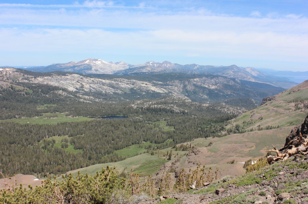
| General Notes: From the parking area on the road, head cross country up to the north, climbing the steep slope almost directly north. You will pick up the ridgeline pretty soon, and follow that generally to the north until you reach the basalt spire of Red Lake Peak. The actual peak is a difficult ascent the last 20 feet, so use your best judgement. To continue on the hike head around the east side of the peak, picking up the use trail which then continues across the ridgeline until you get to a steep shale section to climb up toward Steven's Peak. The actual peak is about another 1/3 mile to the east. Retrace your steps back to the shale area, and then begin a gradual descent down toward the valley below. It might be easier to stay above the valley floor for most of the trip, as after snowmelt areas of this can be pretty wet and boggy. Once you hit the Meiss Meadow trail, head to the south and follow it all the way back to the parking area. |
|||||