Distance: 9.75 Miles
Vertical Gain: 1450'
Group Size: 3
Hike Rating: Easy Moderate Hard Strenuous

 GPX
for
this trip
GPX
for
this trip

| Start Coordinates: | N 38 54.901, W 121 02.379 | End Coordinates: | Same as Start Coordinates | ||
| Car Shuttle Req'd: | No | Parking Directions: | Take Highway 49 from Coloma toward Auburn. Right before the junction with highway 193, there is a wide area on the left side for free vehicle parking. Get there early, especially on a weekend or the space will be filled. | ||
| Hazards of Note: | Rattlesnakes, ticks, poison oak, mountain lions. | Crowd Factor: | Moderate. This entire area is popular with hikers, runners, mountain bikers and dog walkers. | ||
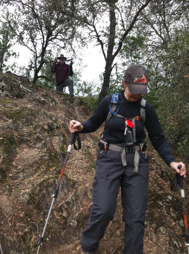
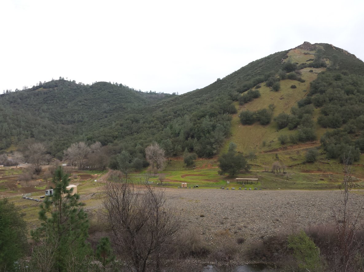
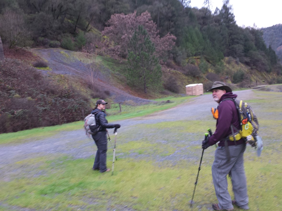
| General Notes: From the area, cross highway 49 to the Quarry Trail parking area and the trailhead for the hike. The first mile or so is along paved roadway along the south side of the middle fork of the American River, a section which ends at a historical area with signs now so weathered that they are barely readable. This is an old rock structure here which was used to load quarry material into trails and trucks from the past. There is a trail marker here which points the continuation of the hike up an incline, and this section will follow along the river area for about the next three miles, coming to a junction with the Brown's Bar trail, a single-track path which heads up to the right and will connect with the Wendell T. Robie trail in less than a mile. This route can be taken to create a circle back toward the original trailhead, but on this trip we just doubled back for most of the trip. There is a side trail which has a sign pointing to "Climbing Area" which heads uphill about 2 miles from the trailhead, and leads up to the historical quarry area. From here, double back and take a small path which is visible just at a 180 bend in the trail, and follow this back to the original quarry trail, meeting up with the paved path about 1/2 mile from the parking area. |
|||||


