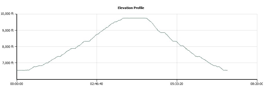
Distance: 12.5 Miles
Vertical Gain: 3200'
Group Size: 2
Hike Rating: Easy Moderate Hard Strenuous

 GPX for
this trip
GPX for
this trip
| Start Coordinates: | N 38 52.610 W 120 04.811 | End Coordinates: | Same as Start Coordinates | ||
| Car Shuttle Req'd: | No | Parking Directions: | Drive all the way to the west end of Fallen Leaf Lake Rd, and turn onto Glen Alpine Rd up to the parking area near Lily Lake. If full, you may have to park along the road. | ||
| Hazards of Note: | The first mile of the hike
from Glen Alpine toward Grass Lake is very rocky and will eat ankles if
not careful. There are a number of trail junctions along the section of the hike up to Gilmore Lake. Make sure you take the correct ones (to Lake Gilmore) every time. |
Crowd Factor: | Busy, especially on weekends. | ||
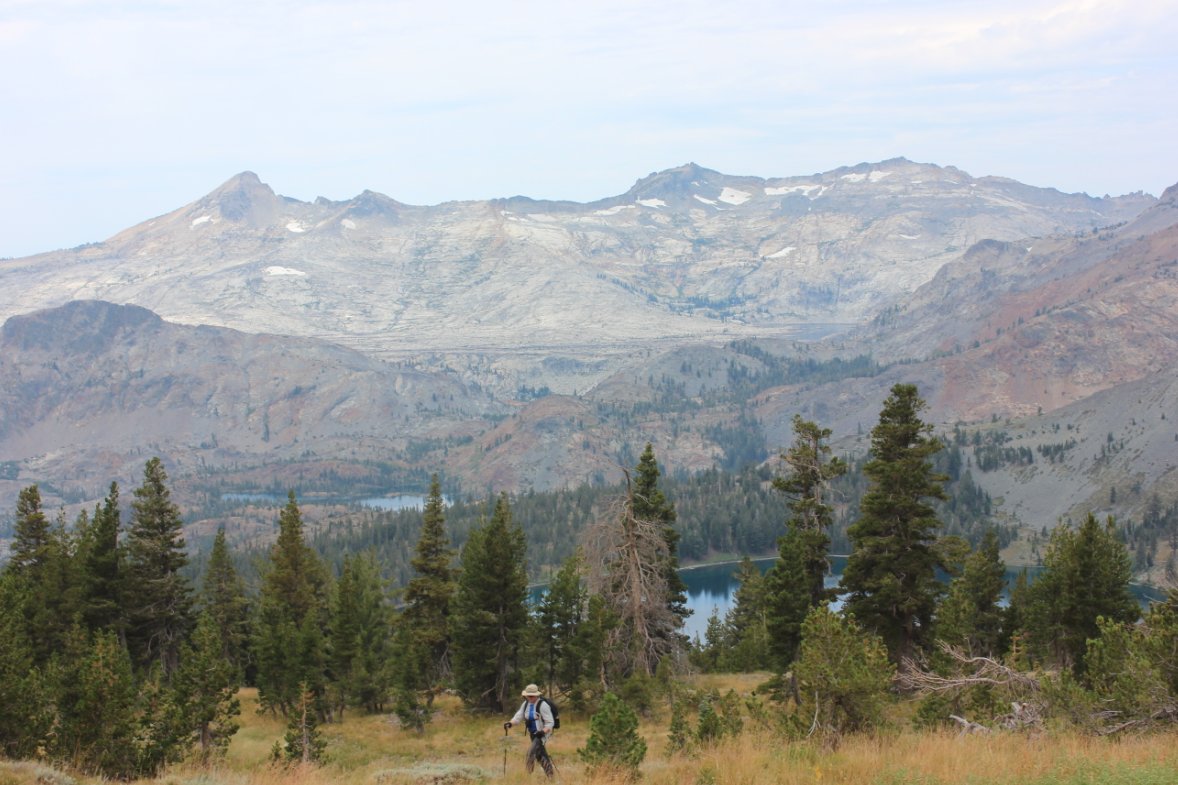
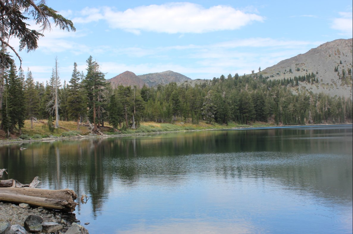
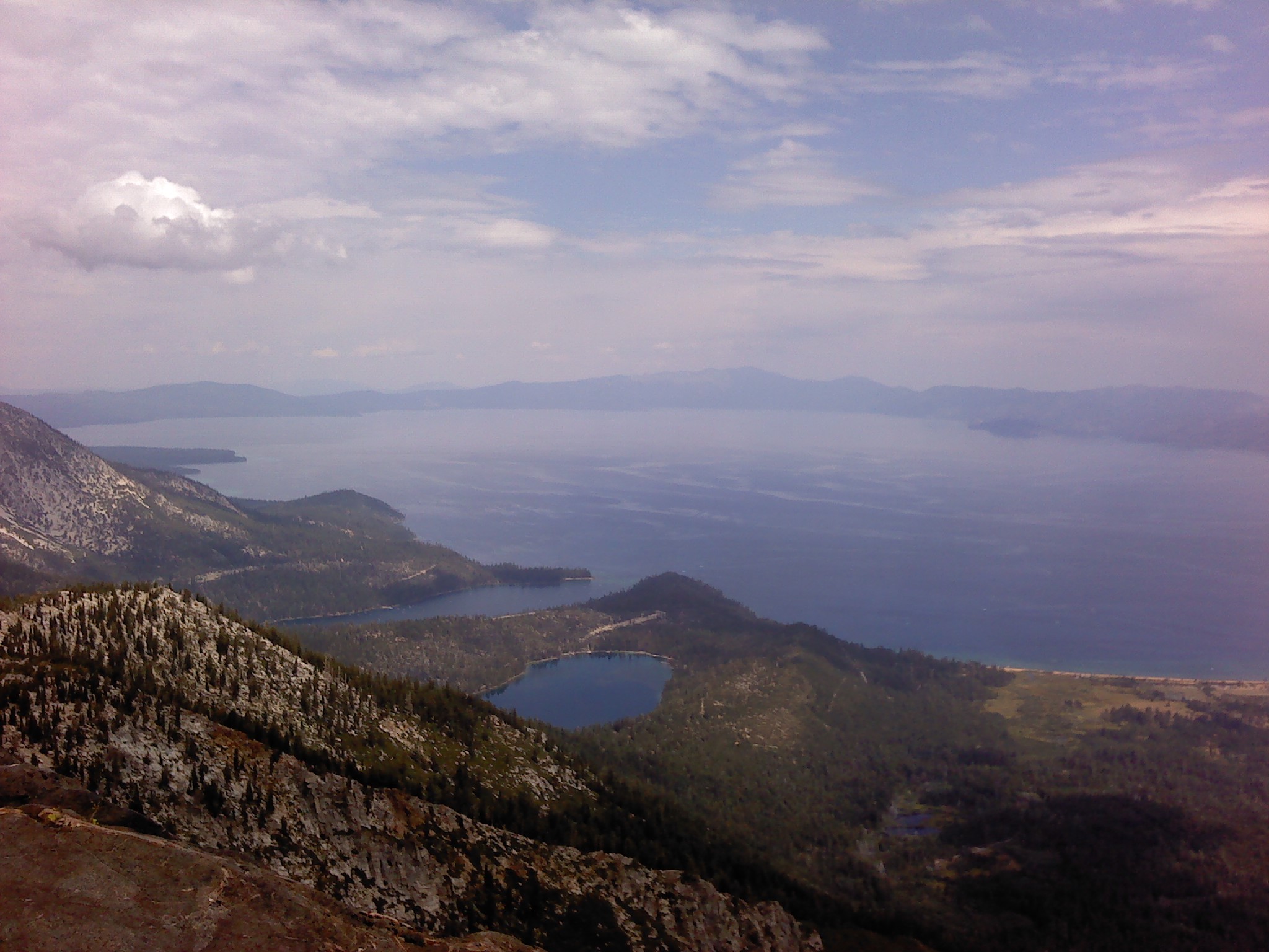
| General Notes: The first part of this hike follows a very well-maintained Desolation Wilderness trail, which climbs relentlessly up to about a mile before Lake Gilmore. Continue up to the lake, where you will cross the dam near the southeast corner to find the trail up to Mt. Tallac. This is more of a use trail from this point on than a 'designed' trail, so it will more or less just head straight up with significant elevation gain. About 3/4 of a mile from the top you will reach a junction with the trail that heads up from the Mt. Tallac Trailhead, where a good number of people head out from to summit this mountain. The last section of trail up to the peak has a couple of exposed sections to be careful around. Since this is a hike into Desolation Wilderness, you will need a day permit (free at the trailhead) and the group size limit is 12. |
|||||