Distance: 7.5 Miles
Vertical Gain: 2800'
Group Size: 3
Hike Rating: Easy Moderate Hard Strenuous

 GPX for
this trip
GPX for
this trip

| Start Coordinates: | N 38 48.238, W 120 07.045 | End Coordinates: | Same as Start Coordinates | ||
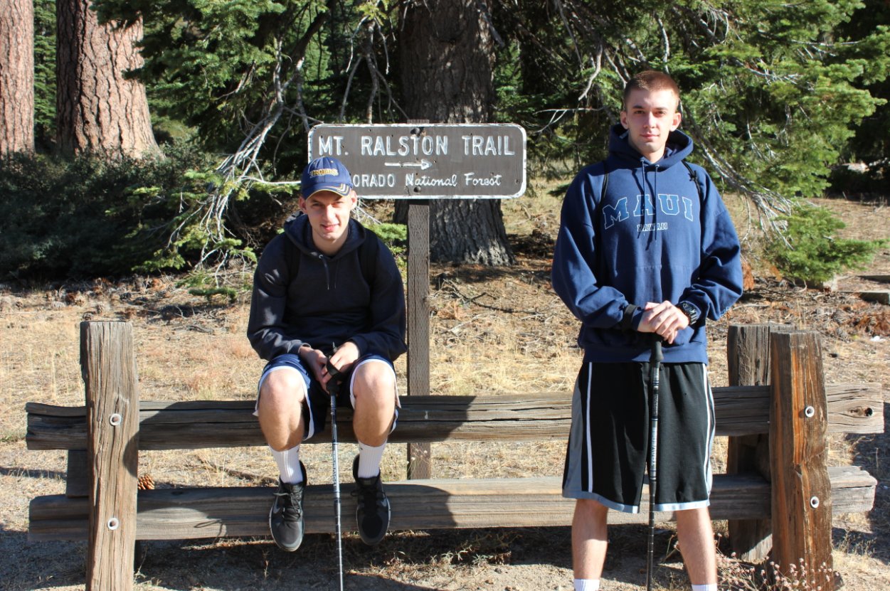
| Car Shuttle Req'd: | No | Parking Directions: | For Mt. Ralston trailhead parking find the Camp Sacramento parking area just a couple miles east of the trailhead parking. Pull off on the north side of the road at the parking area with a "Mt. Ralston Trailhead" sign along the fenced parking area. Sometimes you can continue up this dirt road past the small church and park in the limited size Desolation Wilderness kiosk location to take 1/2 mile off the start and end of this hike. | ||
| Hazards of Note: | This hike is on established trail the entire way but has extremely steep sections. Hiking this in wet weather would be slippery at best. | Crowd Factor: | Limited. Although this is perhaps the quickest way into Desolation Wilderness with a spectacular payoff view at the top, it is a difficult trail and not as popular as other entrances into the area. | ||
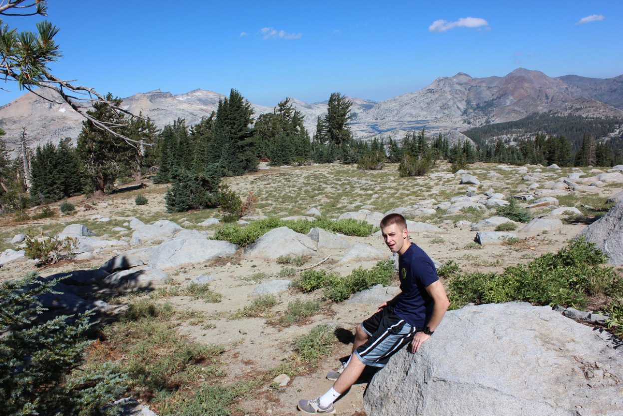
| General Notes: The beginning of the hike starts a constant climb up the south side of Mt. Ralston, and there are a number of switchbacks that you will continue up as you make your way along the trail. Just a little bit before you enter into the Wilderness (noted by a wooden sign,) look for a well-used trail off to the right which will take you down to a nice spot along the creek which parallels the trail for much of the way as an option for water or cooling off. Less than a mile from the summit there is a wide, flat area in which you can rest, and decide to either continue on the trail to the 'official' junction and trail up to the peak, or from here you can just head up the obvious use trail which pretty much heads directly to the summit. |
|||||