Distance: 17.0 Miles
Vertical Gain: 3950'
Group Size: 2
Hike Rating: Easy Moderate Hard Strenuous

 See
video of hike
See
video of hike
 GPX
for
this trip
GPX
for
this trip 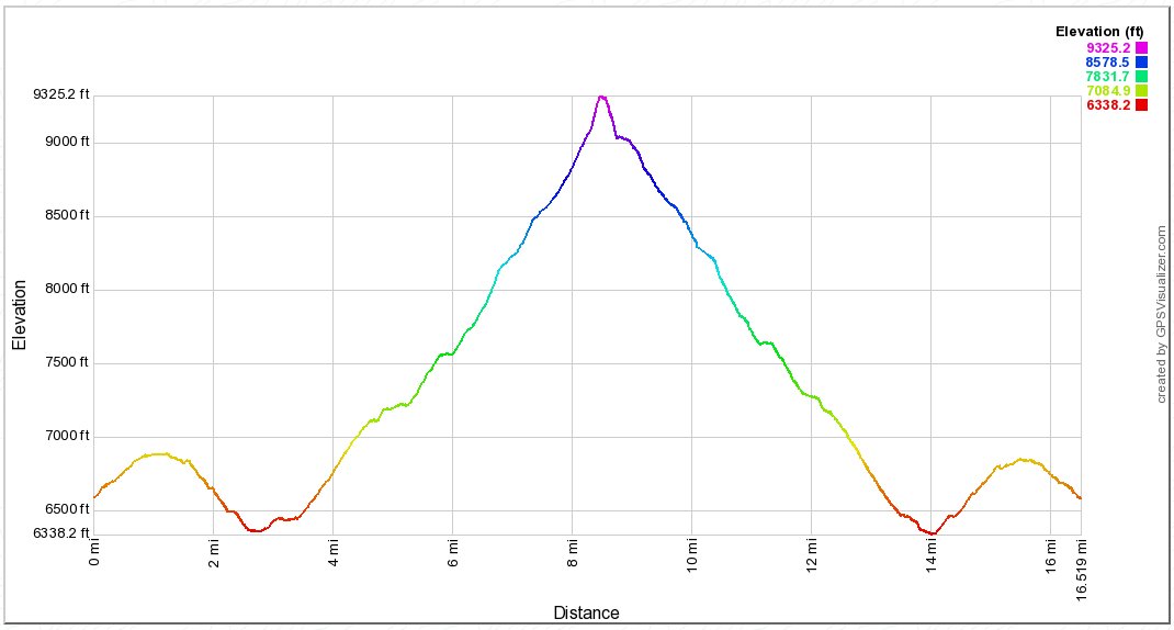
| Start Coordinates: | N 38 31.408 W 120 10.414 |
End Coordinates: | Same as Start Coordinates | ||
| Car Shuttle Req'd: | No | Parking Directions: | Take Highway 88 to the Bear River Reservoir exit and head downhill and cross over the dam. Continue on this paved road, passing the South Shore and Pardoes Point campgrounds. After 4.25 miles on this road, take the first left turn at Forest Service Road 8N14, which is still on paved surface. Follow the signs to the Cole Creek Campground. Stay on this road for another 5.7 miles. You will start to see signs for Tanglefoot Trailhead. Following these signs, turn left and cross two bridges over Cole Creek. After this point a dirt road continues 3.8 miles to the trailhead. On this road ignore various spur trails to the left and right. About 1/3 mile before the trailhead there is a fork in the road. Stay to the left to reach the trail, passing along a tight squeeze between shrubbery which might want to have its way with your vehicle's paint. | ||
| Hazards of Note: | Getting to the trailhead is one of the hardest parts of this hike. Footing on the granite section of trail down into the canyon can be tricky, and is probably one of the reasons this trail is called "Tanglefoot." There are 4 miles of trail to and from the peak which are cross-country and will require route-finding skills. | Crowd Factor: | Minimal. The trailhead is not easy to get to, and the trail heads into a pretty remote part of the Mokelumne Wilderness. Your best chance of meeting others on the trail are those either heading to or from the far shorter hike to Shriner Lake. | ||
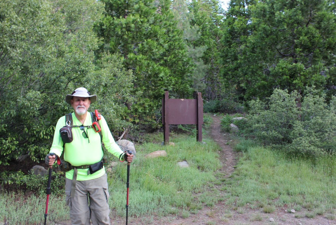
| General
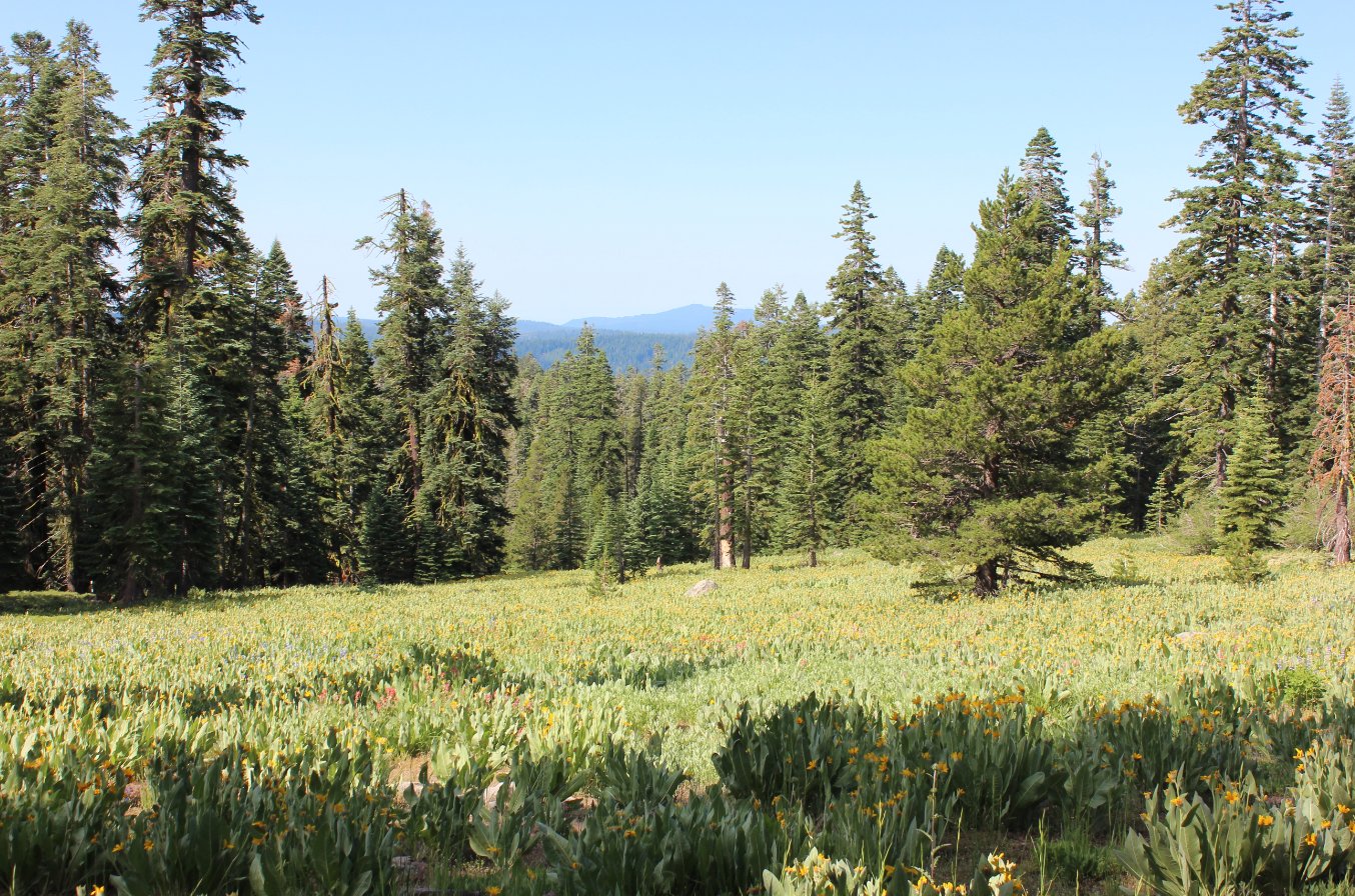
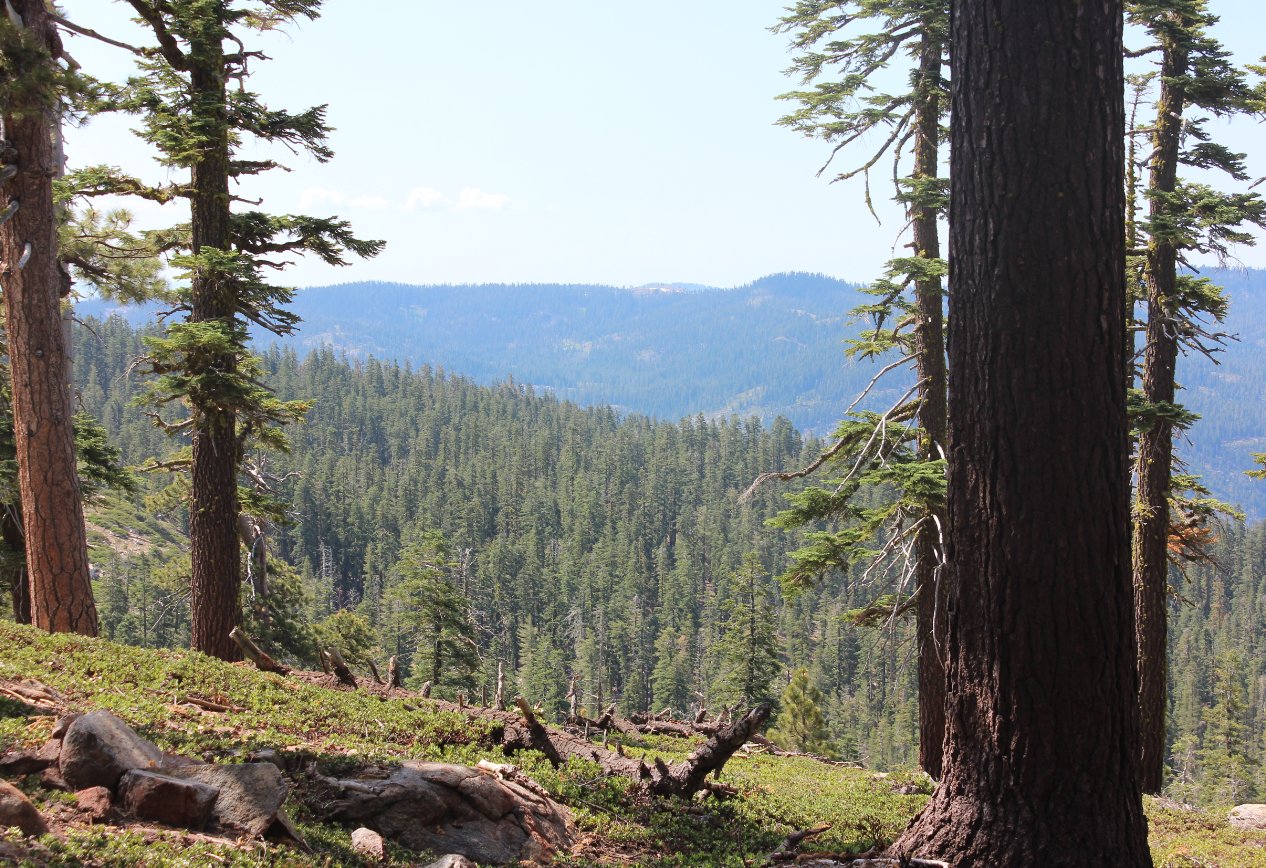
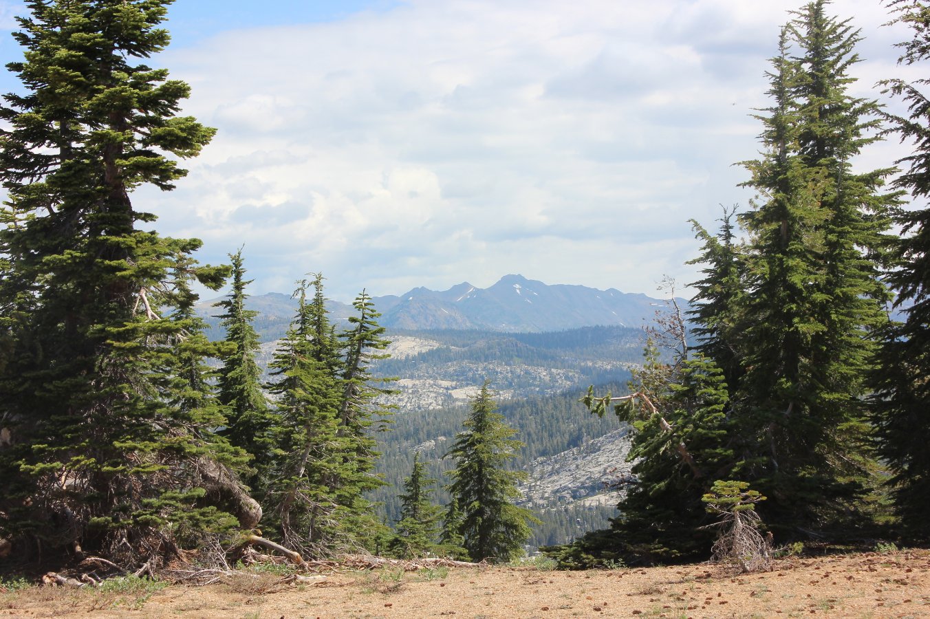
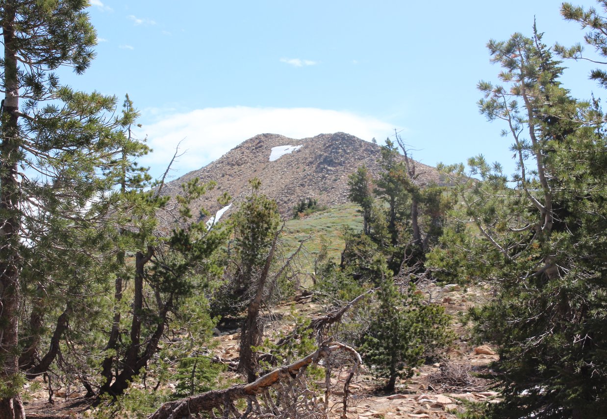
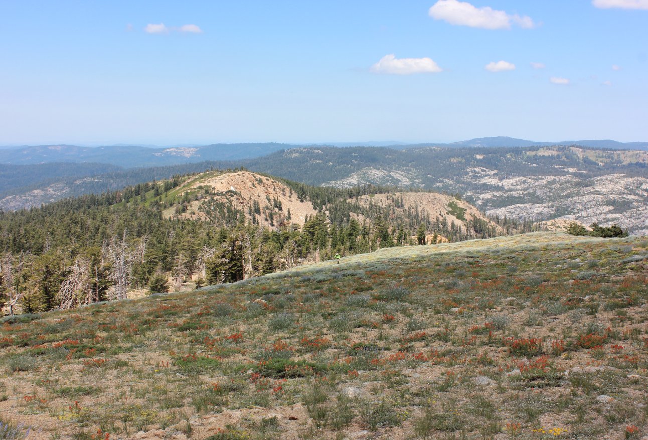
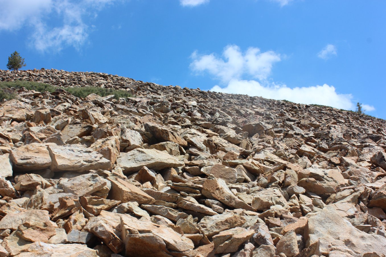
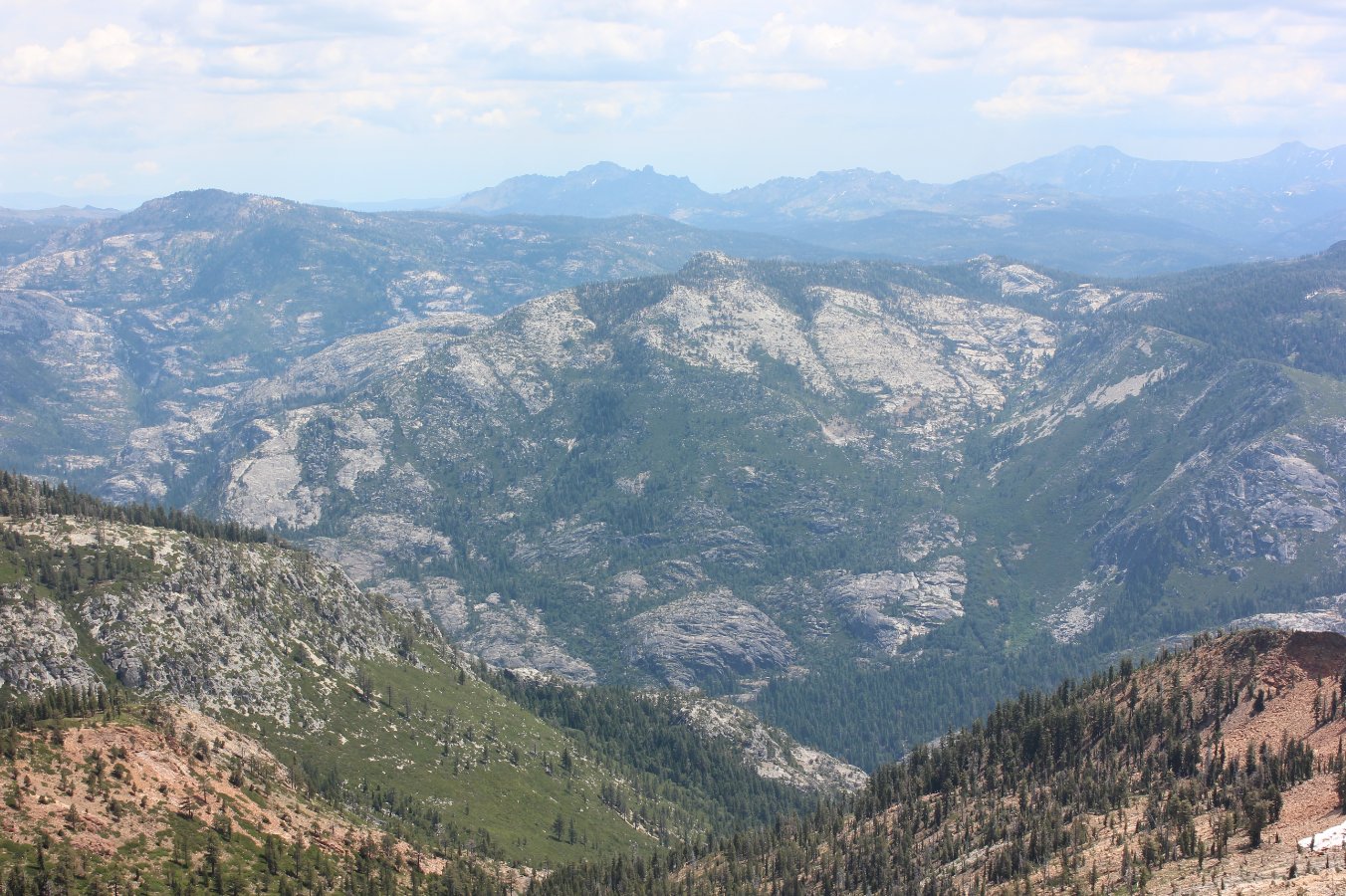
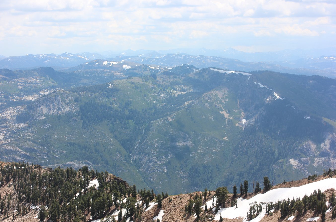
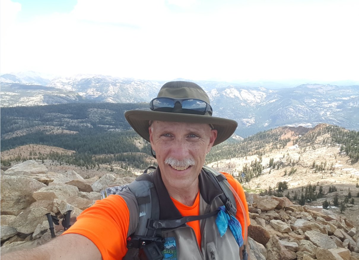
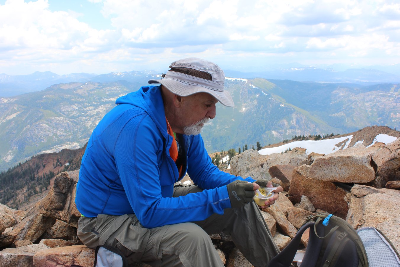
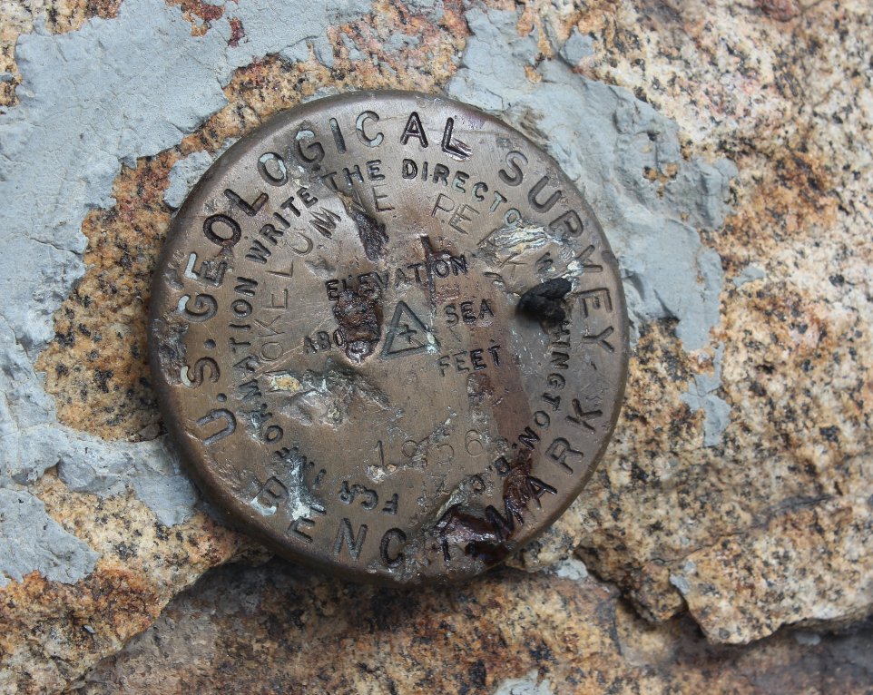
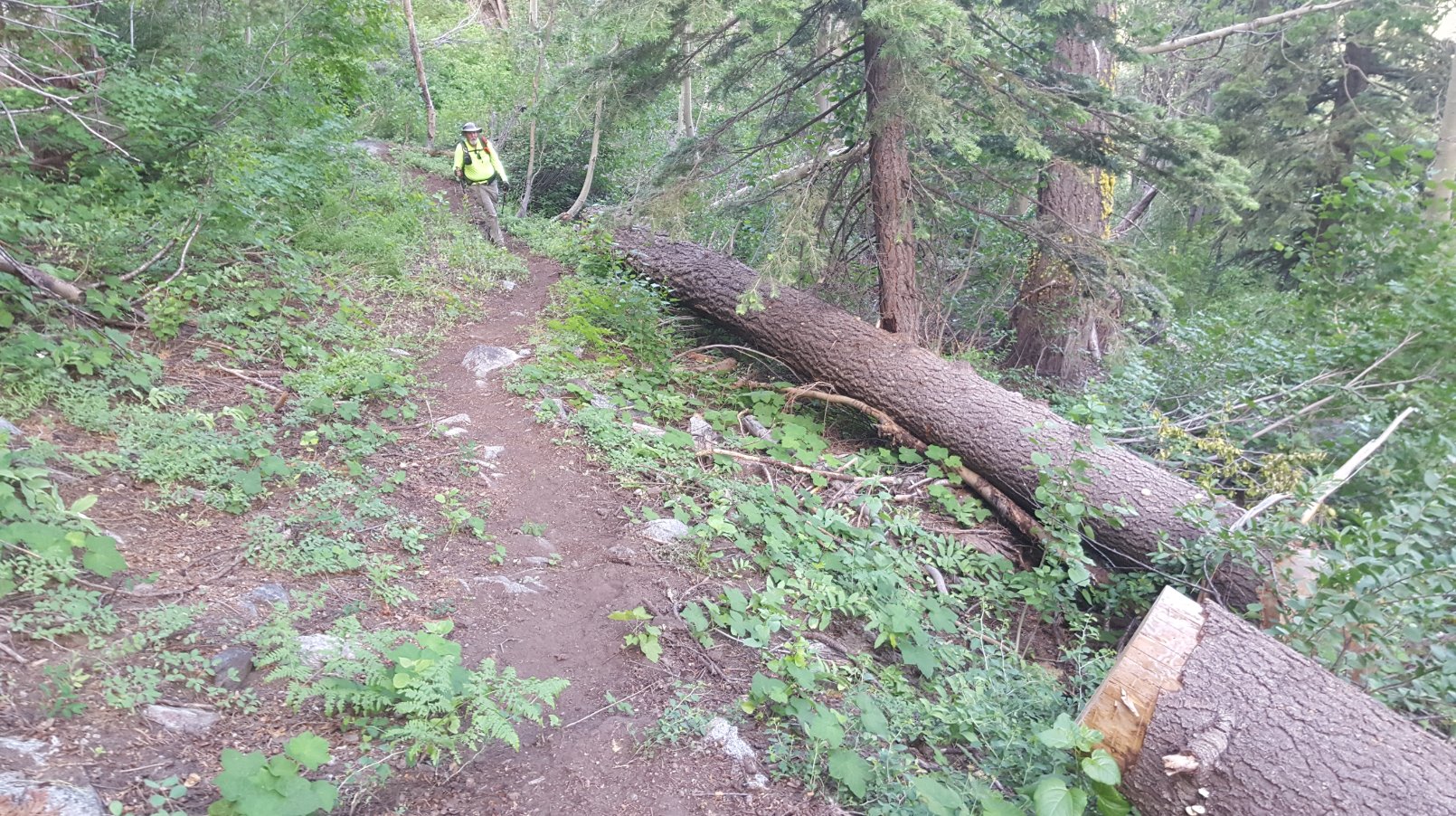
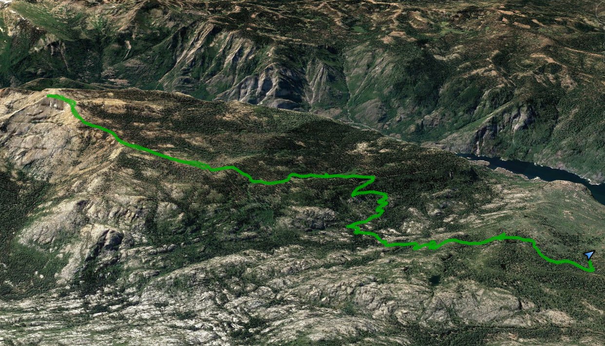
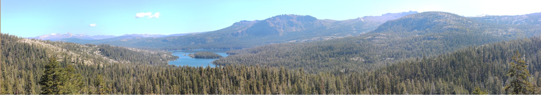
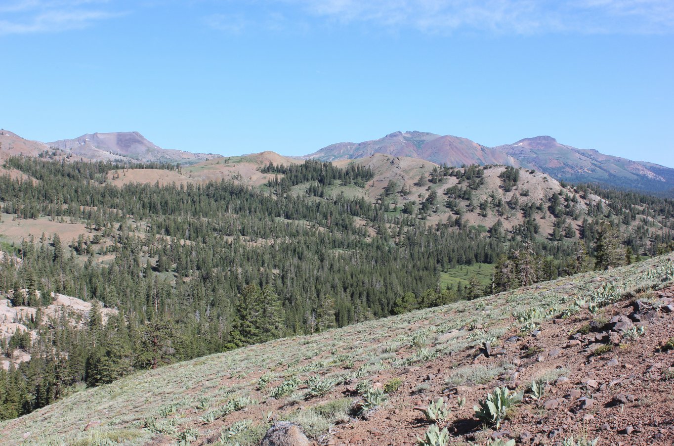
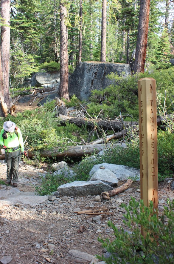
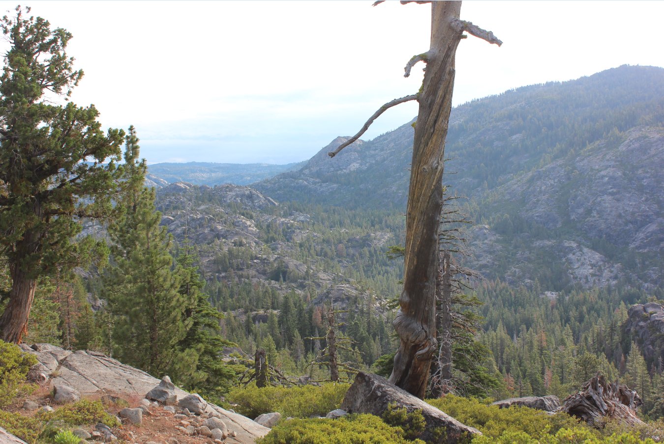
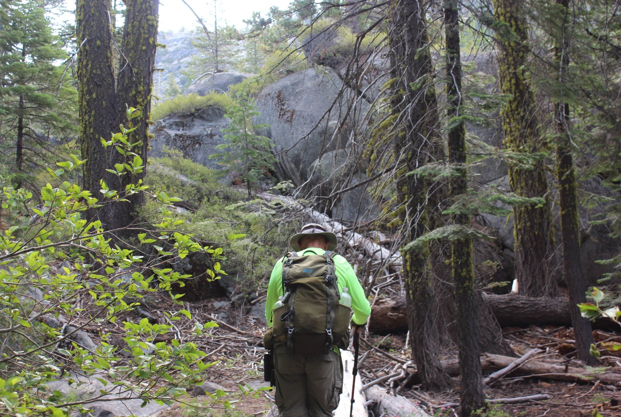
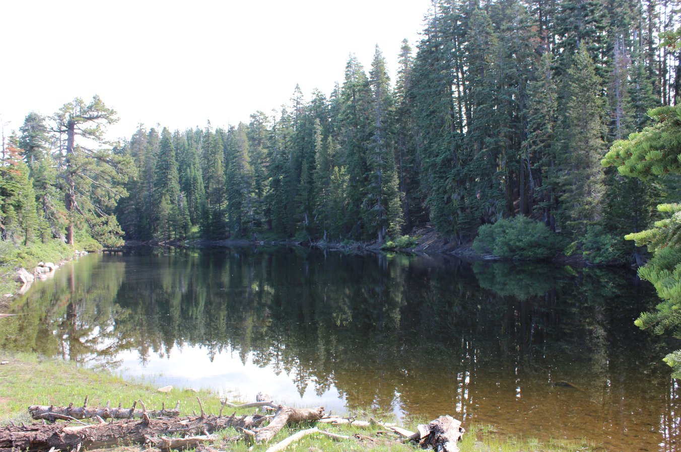
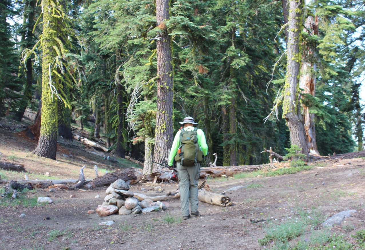
Notes: From the parking area, the trailhead is at the sign immediately to the north of the vehicle parking spots. Head up the trail for the first mile through forested area, gradually gaining elevation until you reach the open views into Tanglefoot Canyon and the imposing sight of Mokelumne Peak about 7 or 8 miles to the east. About a mile and a half into the hike is the junction for the short 1/2 mile trail to Shriner Lake on your left, which can make for a nice camp spot with very little traffic. The trail then begins a significant descent into Tanglefoot canyon along an impressive pathway undoubtedly crafted by the CCC members back in the 1930s when a lot of work cutting paths through the Sierras (including Yosemite) were done. When you reach the bottom of the canyon there might be a crossing of Tanglefoot Creek over logs necessary in the spring or early summer, and you wind through the forest for a short distance before you begin an ascent of the east side of the canyon on your way up to Moraine Lake about 4.5 miles from the trailhead. Past Moraine Lake the trail continues it's constant climb, heading up through forest and a couple of meadows before you reach the point about 6 1/2 miles into the hike where you will leave the trail and travel cross-country to the east up to the peak. About 1/2 a mile past Moraine Lake is where you might find water crossing the trail, your last chance for water to and from the peak. The last 500 feet to the top of the peak is best attempted from the south side, which includes a rock scramble where you are constantly searching for footing which will not include a rocking boulder. |
|||||