Distance: 10.7 Miles
Vertical Gain: 1100'
Group Size: 1
Hike Rating: Easy Moderate Hard Strenuous

 GPX for
this trip
GPX for
this trip

| Start Coordinates: | N 38 45.068, W 121 02.922 | End Coordinates: | Same as Start Coordinates | ||
| Car Shuttle Req'd: | No | Parking Directions: | Take Salmon Falls Road from El Dorado Hills north for about 6 miles. At a wide sweeping turn between Hidden Bridge Rd and Old Salmon Falls Bridge Rd there is a parking area on the north side at the coordinates provided. | ||
| Hazards of Note: | Rattlesnakes, ticks, poison oak, mountain lions. | Crowd Factor: | Moderate. The first mile or so of the hike to the bridge and across (with low water) is very popular with dog walkers. The trails on the peninsula on the opposite side are sparsely used, but mountain bikers can use these trails. | ||
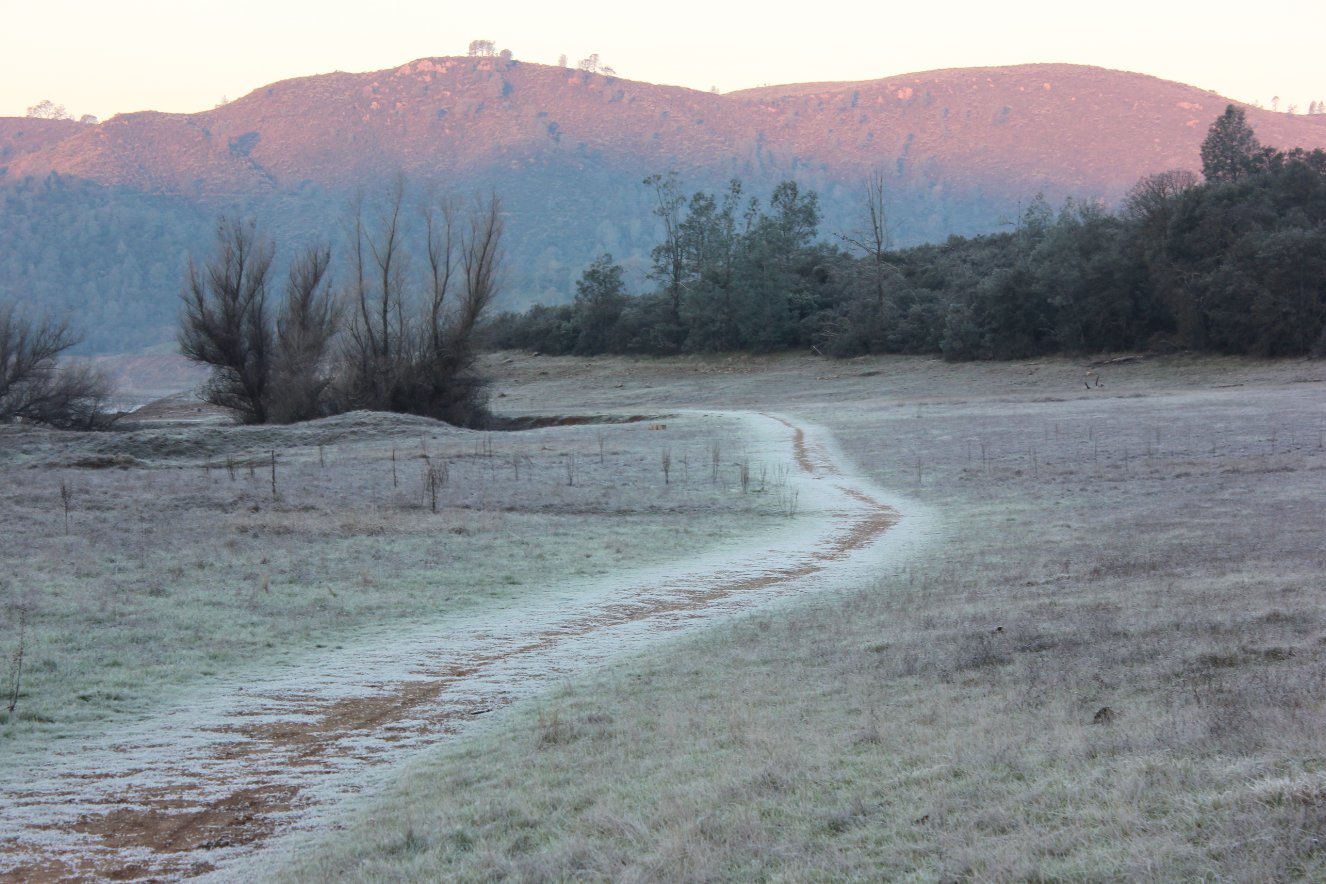
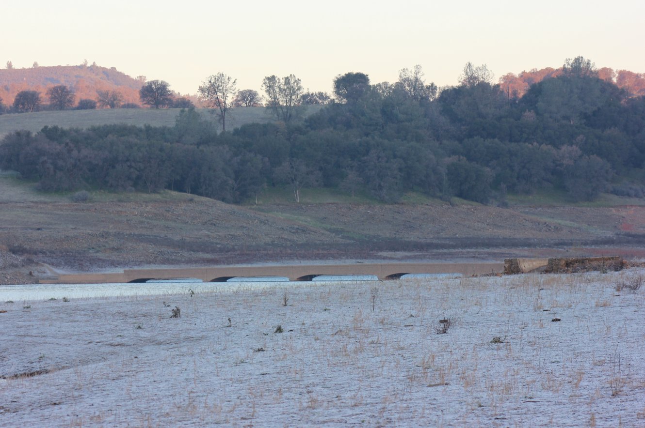
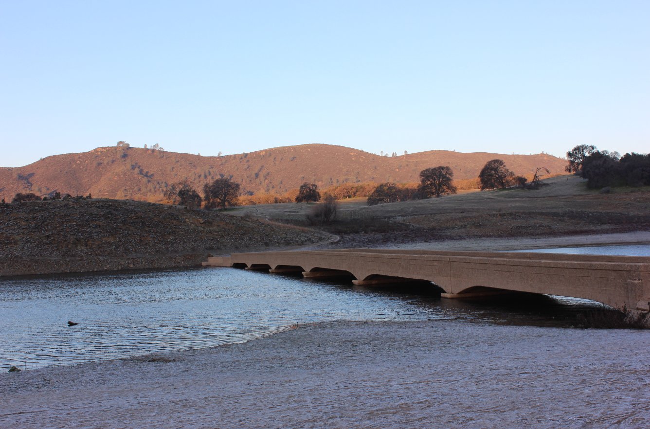
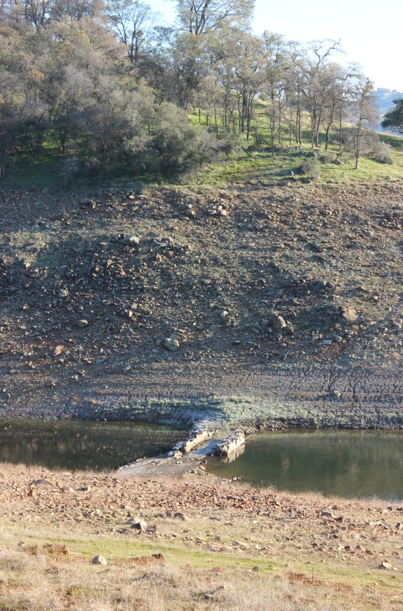
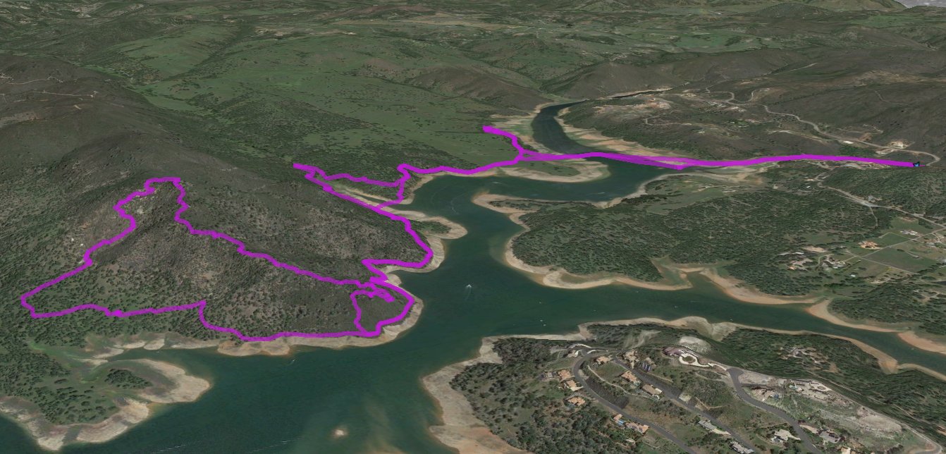
| General Notes: This hike starts off with a very easy mile walk from the parking area to the bridge. As long as the bridge is visible, you can cross over to the peninsula, often known as the "Magic Kingdom." There are many trails here, either going to the right or the left. This track headed to the right for a mile or so, and then turned around and headed back to the junction and then on the left hand track for about 5 miles around the edge of the peninsula. On the backside of Flagstaff Hill, I made a cross-country trek up to the top of the peak just to the south of Flagstaff, discovering an abandoned (but open) mine in the process. At the top of this hill, there is a bike trail that heads down to the SouthEast, which is the only reasonable way through the thick manzanita and scrub brush. This is the section of the hike which rates the entire trip as hard. If you eliminate the cross country and the trek down this particular trail it would be rated as moderate for the mileage alone. |
|||||