Distance: 3.0 Miles
Vertical Gain: 500'
Group Size: 3
Hike Rating: Easy Moderate Hard Strenuous
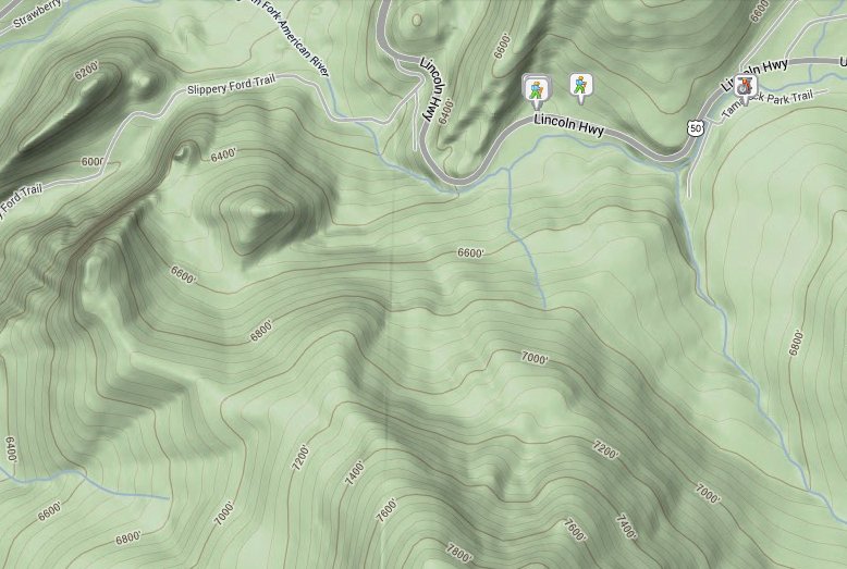

| Start Coordinates: | N 38 48.228, W 120 07.050 | End Coordinates: | N 38 47.208, W 120 12.564 | ||
| Car Shuttle Req'd: | Yes | Parking Directions: | Take Highway 50 to the parking area at the coordinates provided which are just across the highway from Camp Sacramento. A second car should parking just about a mile up Wrights Road (from Highway 50,) at the End Coordinates listed above. | ||
| Hazards of Note: | None. | Crowd Factor: | High. Depending on the time of year you will probably run into other people near Lover's Leap and Strawberry. | ||
| General Notes: From the parking area, cross back over Highway 50 and head up into the Camp Sacramento area. Head to the west side of the camp, and you will see a sign indicating the start of the hike toward Lover's Leap. Within the first mile is a junction to either continue on to Lover's Leap, so do not head off to the right on the Pony Express Trail. Continue on this trail up to the top of Lover's Leap, giving great views of Horsetail Falls to the north and Freel Peak far to the east. |
|||||


