Distance: 12.4 Miles
Vertical Gain: 1300'
Group Size: 1
Hike Rating: Easy Moderate Hard Strenuous

 GPX for
this trip
GPX for
this trip

| Start Coordinates: | N 38 58.565 W 120 19.503 | End Coordinates: | Same as Starting Coordinates | ||
| Car Shuttle Req'd: | No | Parking Directions: | Take
the Ice House Road from Highway 50 and follow it for about 25 miles
north to the Loon Lake campground area. If the gate is closed
you
will have to park at that junction, otherwise you can cut a couple of
miles off the trip by parking in the campground area. |
||
| Hazards of Note: | A few sections of the trail
near the east end of the lake which are hard to discern. |
Crowd Factor: | Moderate. You will encounter less and less people as you get further to the east end of Loon Lake. During the summer you can see jeepers along the Rubicon Jeep trail parked and camped at Spider Lake. | ||
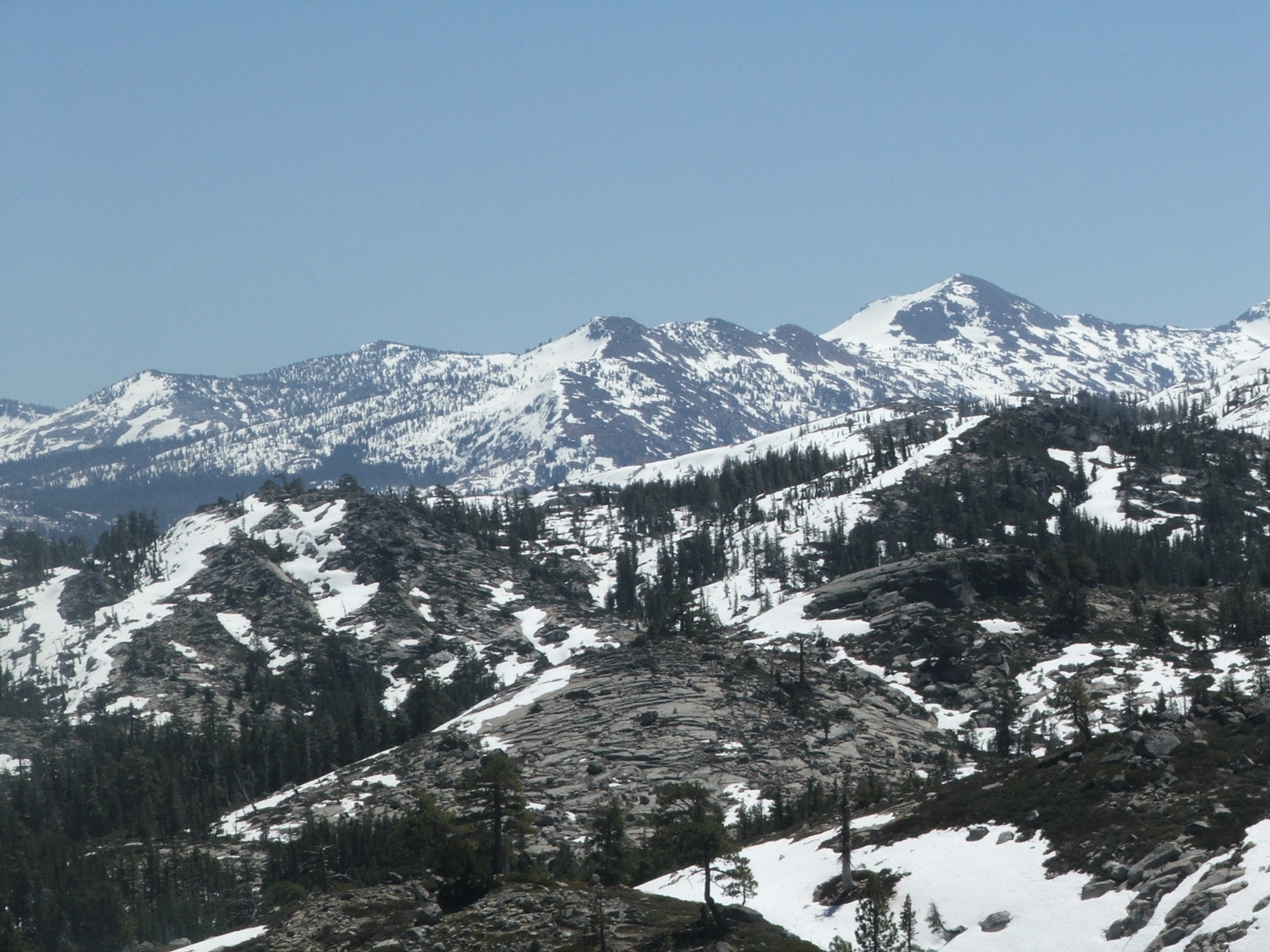
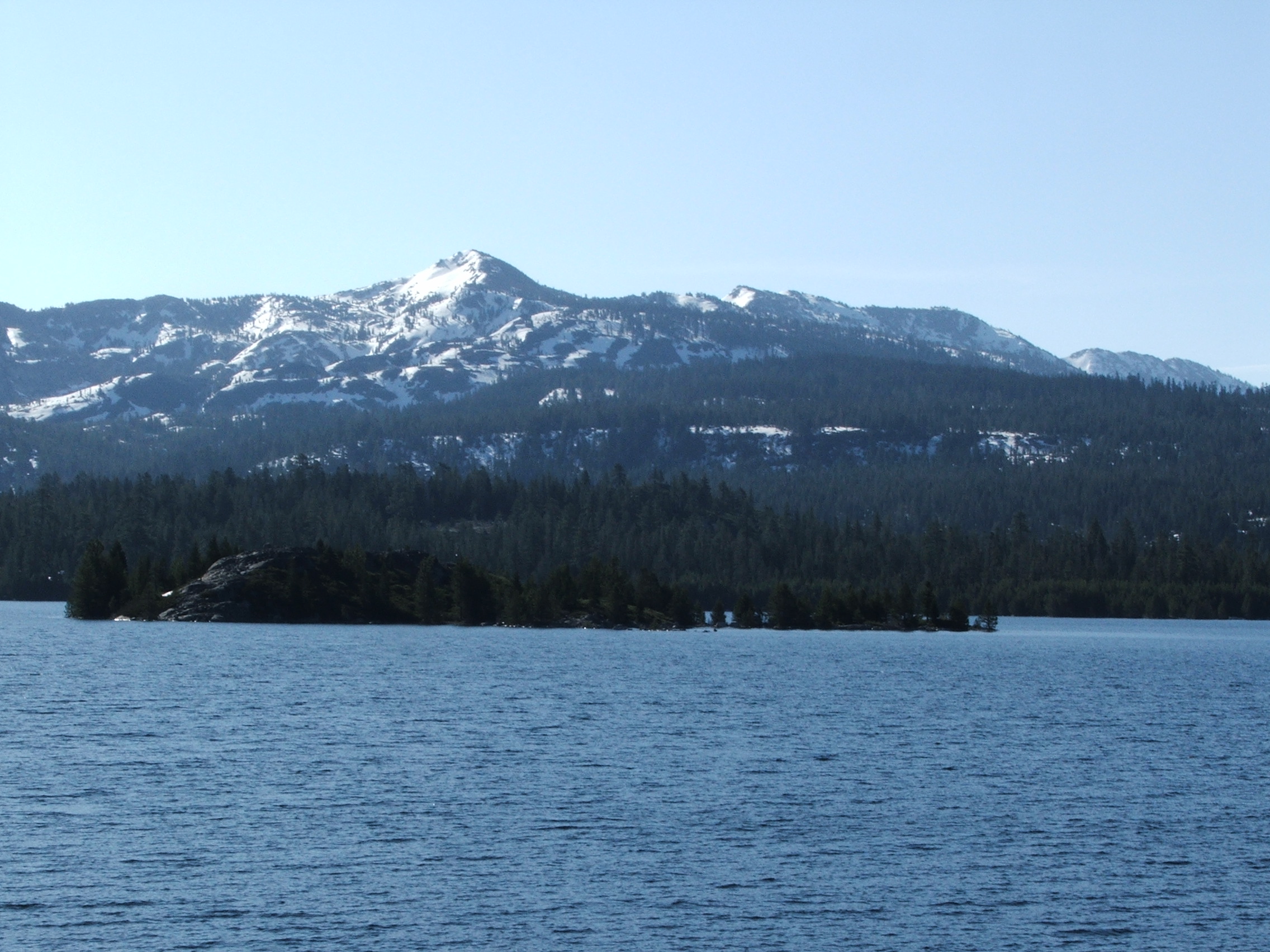
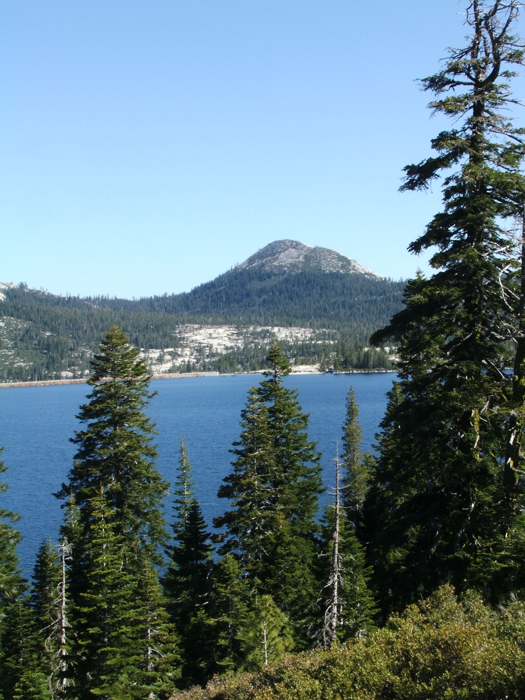
| General Notes: Loon Lake is a very scenic location for hiking, and is actually what used to be two lakes (along with Pleasant Lake) which have been combined into one for water storage purposes. The north side of the lake sees a lot of traffic from jeepers who access the start of the famous Rubicon Jeep Trail from this location, but the south side, once you get past the campground areas can be relatively isolated. At the far east end of the lake, you may encounter hikers coming out from Desolation Wilderness at the far north end of the area, or even a few kayakers who may have paddled about a mile from the second Loon Lake dam to reach this end of the lake. There are some pretty nice viewpoints at the top of some of the unnamed knolls at this end of the lake, and Guide Peak to your north serves as an orientation feature no matter where you are along this trek. Parts of the hike are forested for a bit, but much of the hike ends up being pretty close to the southern shore, and then you reach an old gravel road at the east end of the lake that takes you up to a small pass to bend south and head toward the Desolation Wilderness boundary, Spider Lake, Buck Island Lake, Rubicon Lake, and many others within Rockbound Valley. |
|||||


