Distance: 9.5 Miles
Vertical Gain: 1000'
Group Size: 8
Hike Rating: Easy Moderate Hard Strenuous
 See
video of hike
See
video of hike
 GPX
for
this trip
GPX
for
this trip

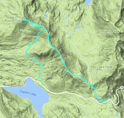
| Start Coordinates: | N 38 41.803 W 119 59.492 | End Coordinates: | N 38 43.538, W 120 02.843 | ||
| Car Shuttle Req'd: | Yes | Parking Directions: | For the start coordinates take
Highway 88 to the parking on the north side of the highway, about a
quarter mile from the ranger station parking area across the highway
and to the south. Pay the day use fee (summer only) and
find
the trailhead just at the west end of the parking lot for the Meiss
Meadow trail. For the end coordinates take Highway 88 to the turnoff to Schneider Cow Camp Rd on the north side of the road signed "Caples Lake Maintenance Station. Pass the Caltrans buildings on your right and turn right onto Strawberry Creek Rd. Continue on this rough, dirt road to the coordinates where there is parking for a few vehicles on your right. |
||
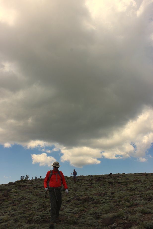
| Hazards of Note: | The
cross country section to Little Round Top summit has a lot of scree but
is easy to navigate. Depending on conditions the road to Schneider Cow Camp may or not may be open all the way to the coordinates listed. Closed will add a mile and a half to the trip. |
Crowd Factor: | Moderate. This parking area is an access point for the Tahoe Rim Trail and the Pacific Crest Trail. There will be a number of hikers out, especially on weekends during the summertime. | ||
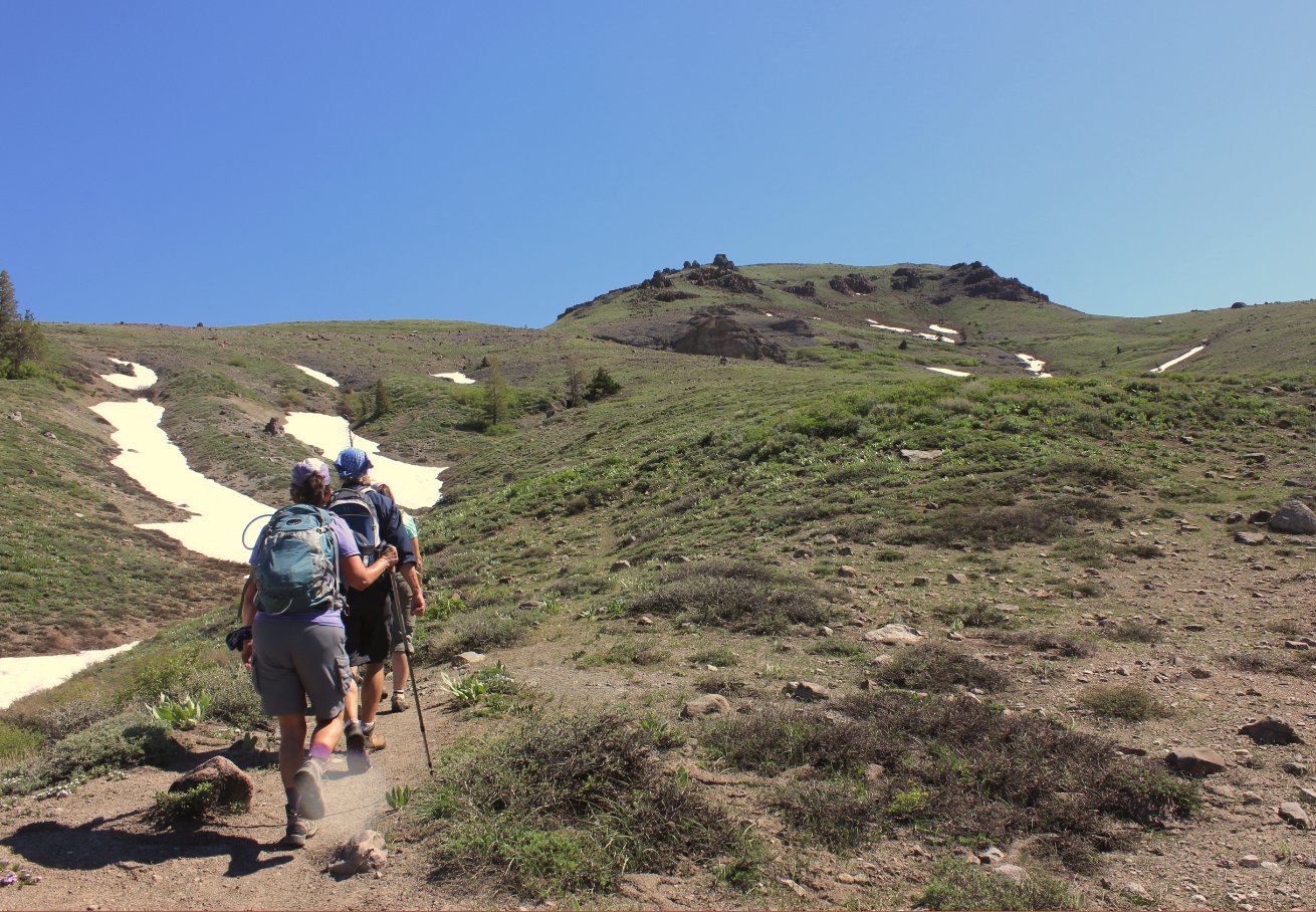
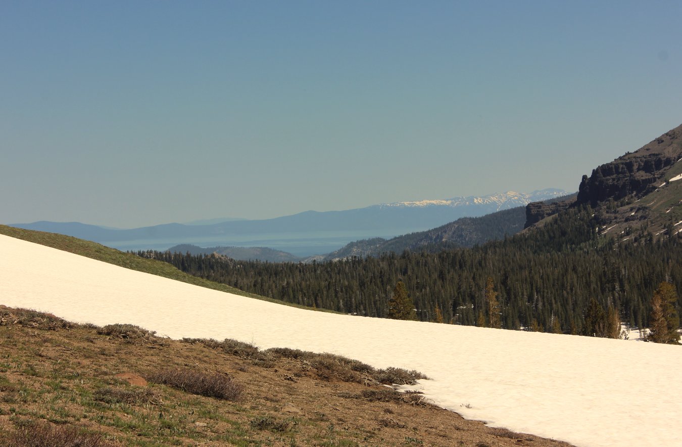
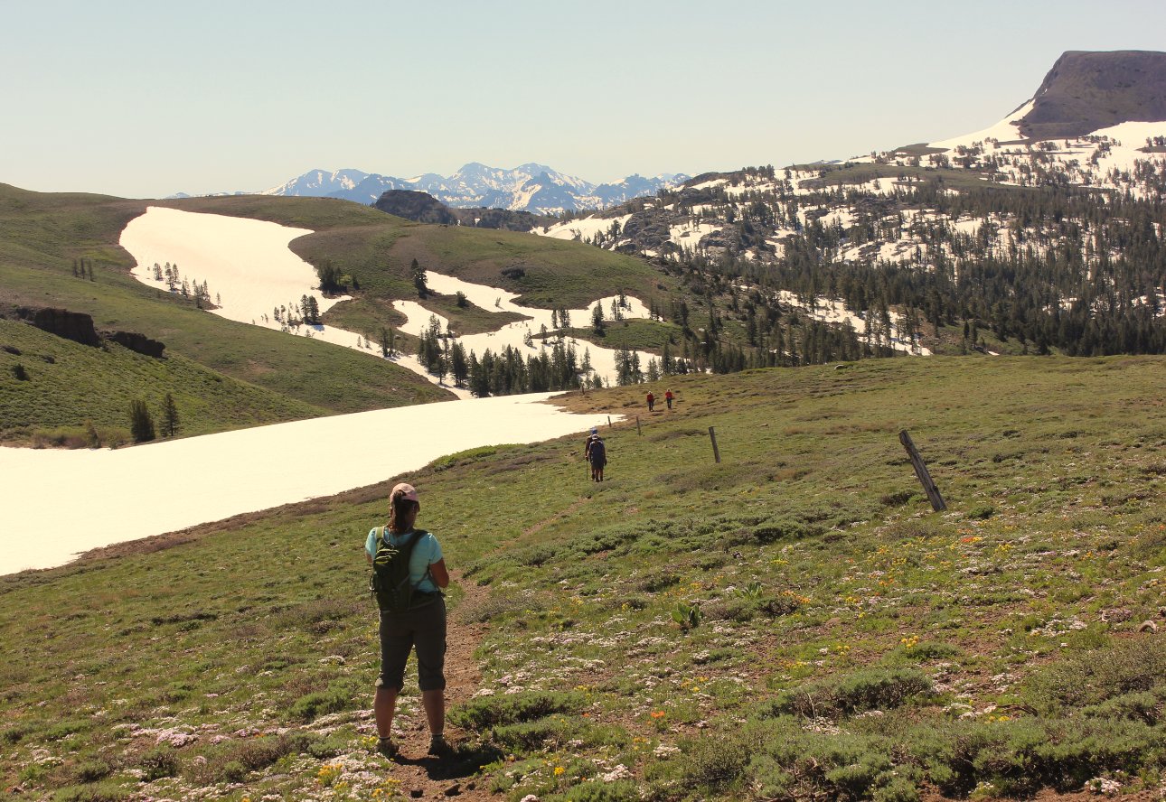
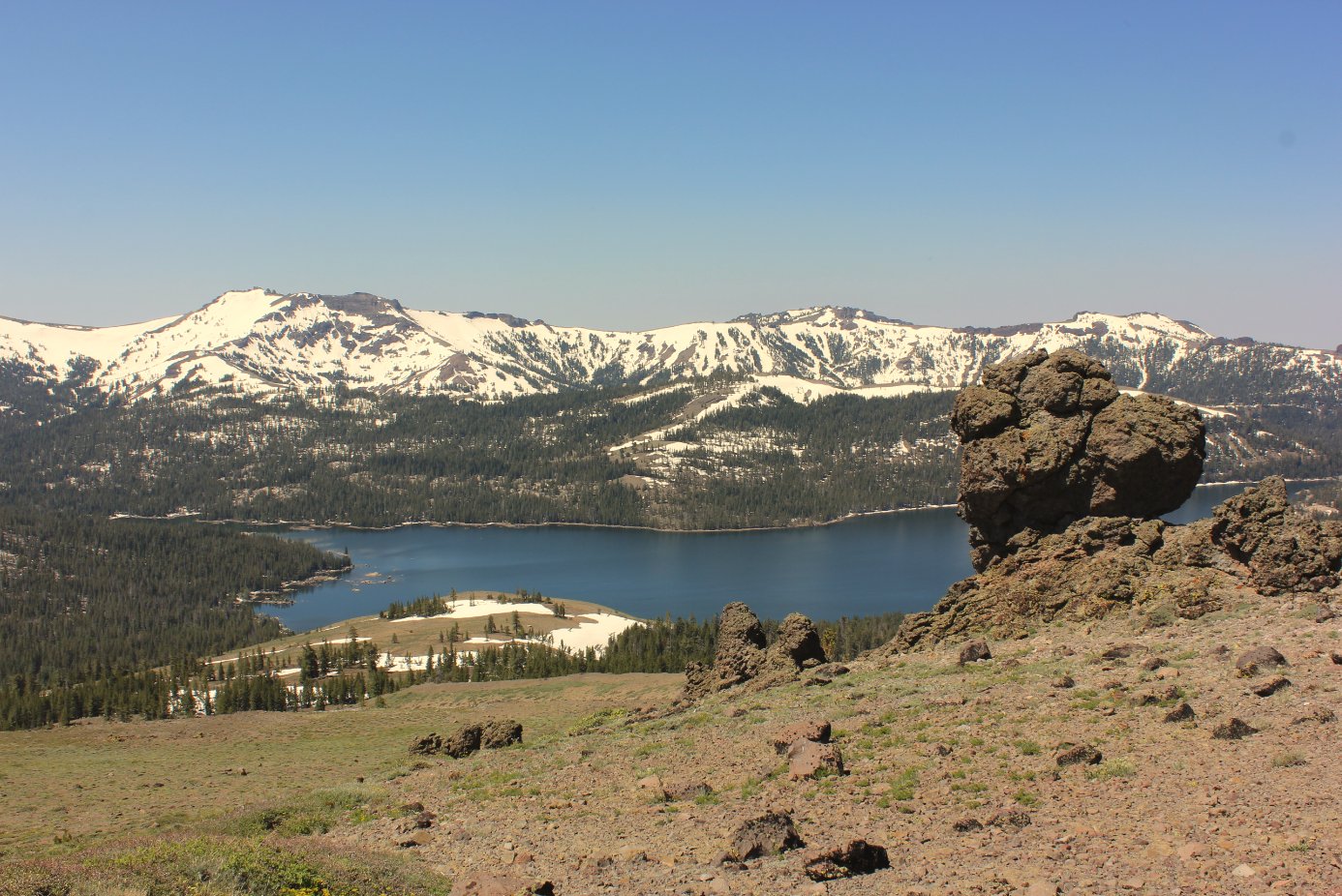
| General Notes: From the parking area on the road, find the Meiss Meadow trail head and start a climb up to a saddle overlooking the Lake Valley to your north. From this spot is a small lake (tarn) on the left side of the trail. Head on to the west toward the ridgeline before you reach this lake, along a fairly obvious use trail which will guide you up the ridge. For most of the way, unless there is snow, this use trail will lead you directly to the top of Little Round Top peak. On the way back retrace your steps to the junction of the trail up out of Schneider Cow Camp which leads to Showers Lake, and take that junction to the west down into the canyon along a number of long zig zags until you reach the trailhead kiosk along the road which comes in from behind the CalTrans station. Follow this road to the south all the way to Highway 88 if unable to drive back into the area by Schneider Cow Camp. |
|||||