Distance: 10.0 Miles
Vertical Gain: 900'
Group Size: 2
Hike Rating: Easy Moderate Hard Strenuous
 See
video of hike
See
video of hike
 GPX
for
this trip
GPX
for
this trip

| Start Coordinates: | N 38 47.638, W 120 01.258 | End Coordinates: | N 38 48.233, W 120 07.051 | ||
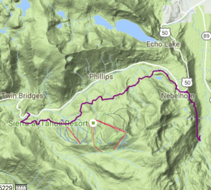
| Car Shuttle Req'd: | Yes | Parking Directions: | Take Highway 50 to S. Upper Truckee Road. Turn south and head down approximately 3.6 miles to the entrace to the Hawley Grade National Recreation trail. If the gate is closed, then park off the road in this area. Otherwise, continue up the road for 1/10 of a mile to the parking area at the coordinates listed. The end parking coordinates are at the parking area for Mt. Ralston, across from Camp Sacramento on the north side of the highway. | ||
| Hazards of Note: | A small section of the hike from the top of Hawley Grade to the PCT parking area are a walk along Highway 50. At the end, Highway 50 needs to be crossed from Camp Sacramento to the parking area at the Mt. Ralston trailhead. | Crowd Factor: | Moderate. This is a well-publicized trail for South Lake Tahoe and the Hawley Grade section only (2 miles up and 2 miles down) is an easy and popular day hike. The area from Echo Summit to the Highway 50 crossing for the PCT and the Tahoe Rim Trail (TRT) can see a good number of hikers in the summer. The last section to Camp Sacramento will have the fewest number of other hikers potentially on the trail. | ||
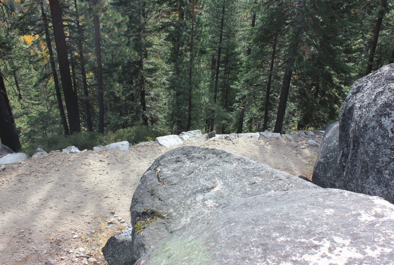
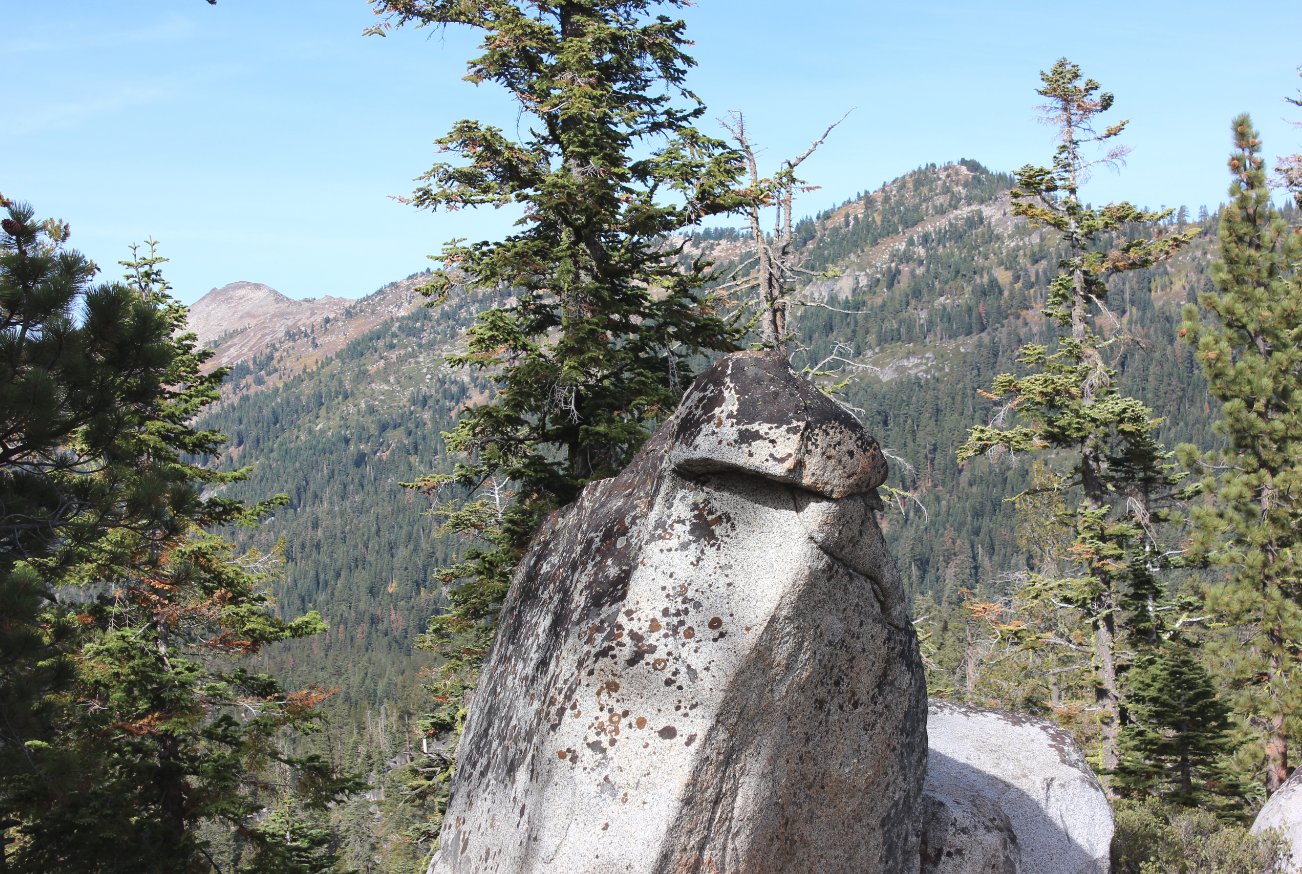
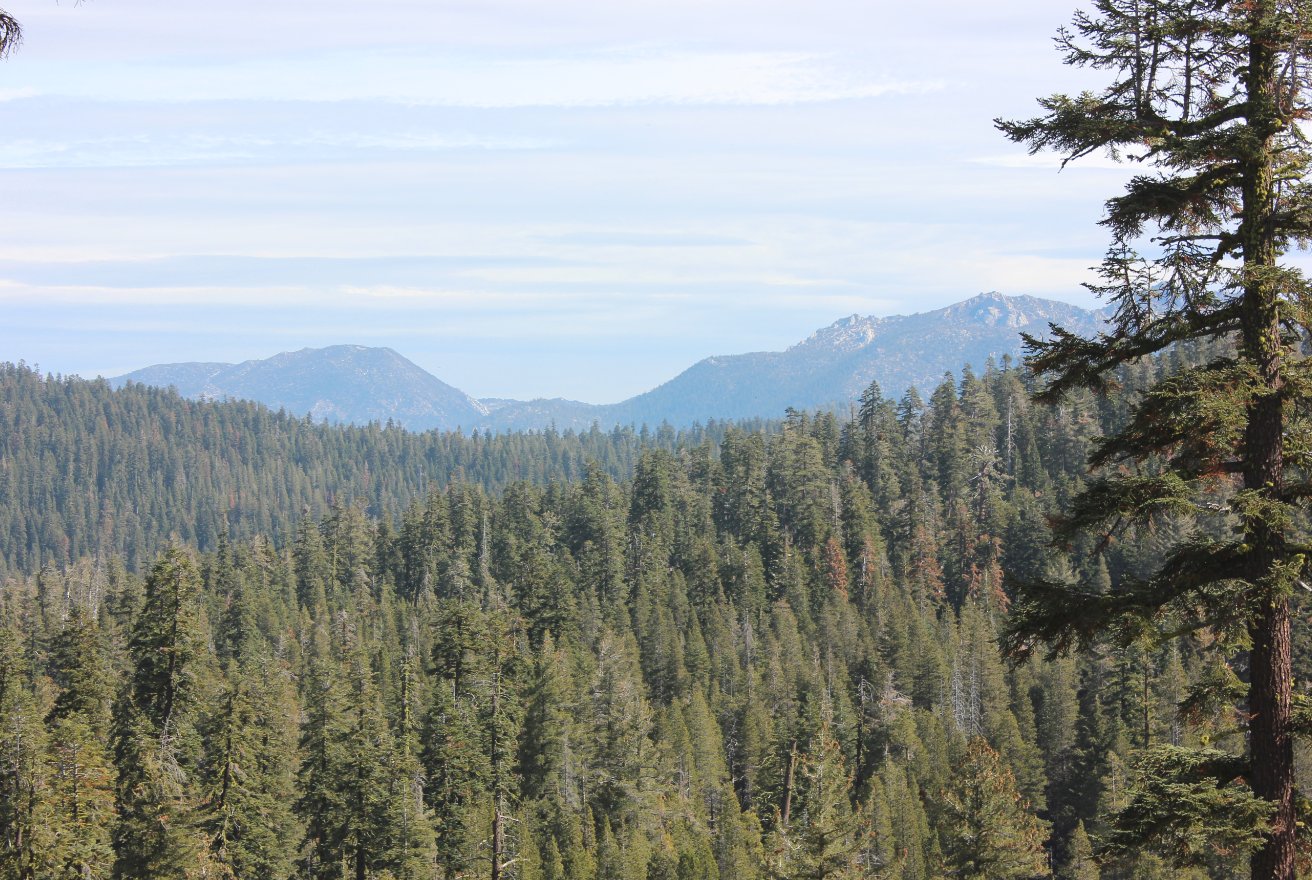
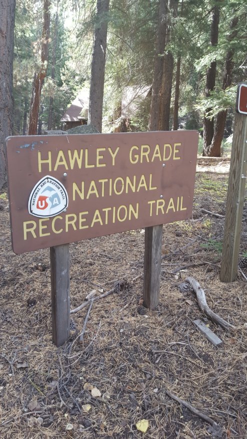
| General Notes: From the start parking area, follow the road south for a short distance until you get to a trail to the right which begins the Hawley Grade trail. This first section, about 2 miles up to Echo Summit are all at a fairly constant and moderate uphill grade. One mile in there is a section of trail which will be impassable in spring and early summer, due to the amount of water flowing down and across the rocks on the trail, making this the turn-around point for the hike during these conditions. As the trail nears the top of Echo Summit, the views to Lake Tahoe open up significantly, as well as views to the east to Christmas Valley and south toward Stephens Peak. At the Echo Summit the trail actually becomes Highway 50 for a short distance, until you reach the PCT and TRT trailhead at the Echo Summit Adventure center. This trail parallels Highway 50 for about a mile, until the PCT/TRT turns north and heads across Highway 50. The trail you are on follows the dirt road which heads eventually all the way up to Scout Peak for a time, before a signed Pony Express marker near the number "5" marker on the Scout Peak road puts you back on single track trail once again. This next section takes you to a junction with the paved Sierra-at-Tahoe access road, which you cross and then pick up the Pony Express trail on the other side. Some of this next section is dirt access road for maintenance vehicles at the ski resort, until you cross under the West End Chairlift, and then pick up the single track trail again on the right side, which will lead you all the way to a final, unmarked junction just past the site of Camp Sacramento (you are well above it at this point.) Take this junction to the right and head all the way into Camp Sacramento and then across the highway to the parking area at the end. |
|||||

