Distance: 11.0 Miles
Vertical Gain: 1300'
Group Size: 2
Hike Rating: Easy Moderate Hard Strenuous

 GPX for
this trip
GPX for
this trip

| Start Coordinates: | N 38 50.961, W 120 13.543 (or N 38 50.554, W 120 14.116 during the winter) |
End Coordinates: | Same as Start Coordinates | ||
| Car Shuttle Req'd: | No | Parking Directions: | Take Highway 50 to Wrights Road (west of the small town of Strawberry.) Drive 8 miles north on Wrights Road. Turn right at the entrance for the lake and drive about 1 mile to the Desolation Wilderness Parking area. | ||
| Hazards of Note: | Cross country navigation is required for a section of this hike. It is difficult and requires class 3 climbing down and back up a creek bed. | Crowd Factor: | Moderate to busy, especially on weekends. | ||
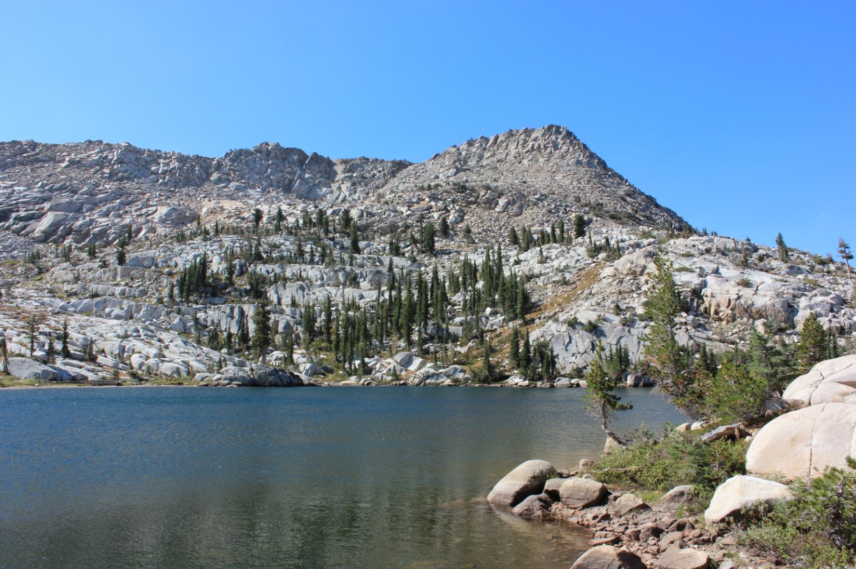
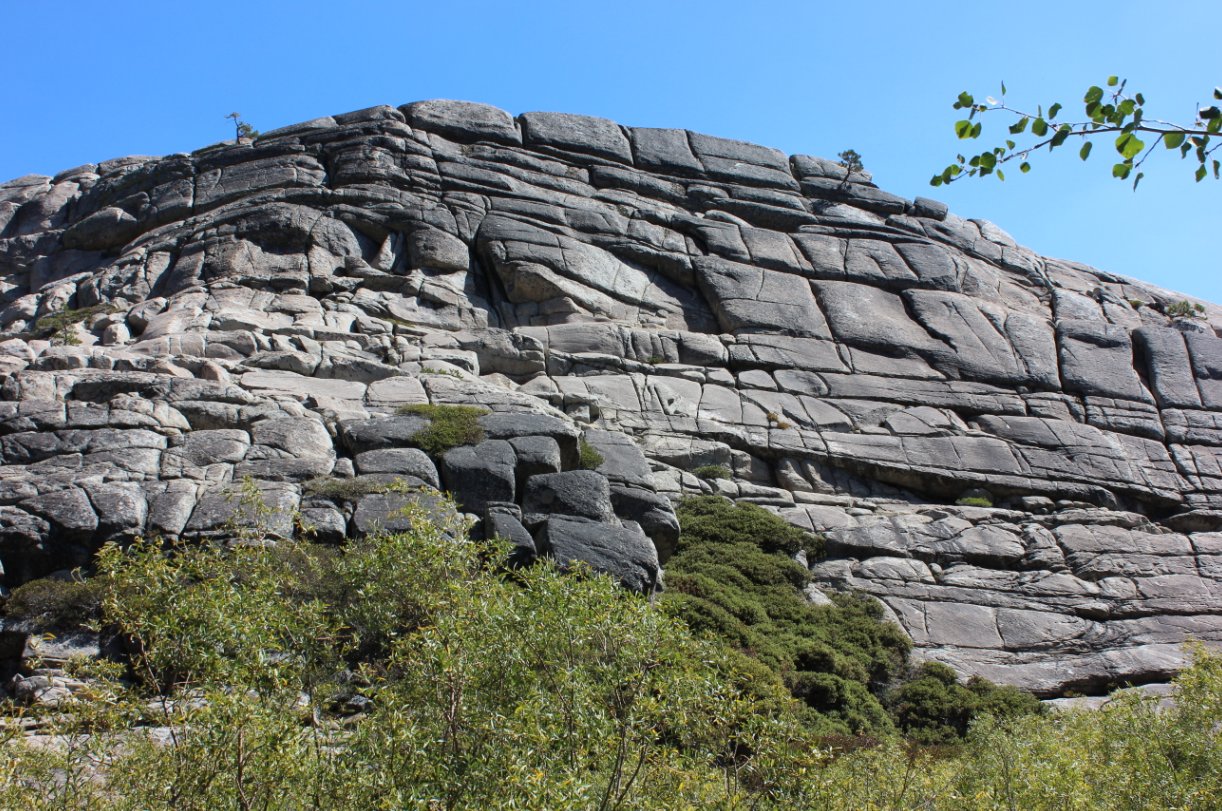
| General Notes: The first part of this hike crosses a small bridge right at the Desolation Wilderness permit kiosk near the parking area. Continue north on the Tyler Lake trail until you reach Gertrude Lake in about 3 miles from the start. Tyler Lake is a quick cross country up to the south, and sits in a granite bowl with mountains on 2/3 of the sides of the lake. Climb back down to Gertrude Lake, and then head to the northwest around the granite to head cross country over to Maud Lake. There is a difficult section where you have to cross a river between these two lakes, with class 3 climbing down and back up from the actual water area. When you reach Maud Lake you can pick up the well-defined and maintained Rockbound Trail, which heads back to the Wrights Lake area for the last3 1/2 miles of the trip. Since this is a hike into Desolation Wilderness, you will need a day permit (free at the trailhead) and the group size limit is 12. |
|||||