Back to index Fleming Meadow hike
Trip Date:  11/05/2014

Distance
: 9.6 Miles

Vertical Gain: 1000'

Group Size: 1

Hike Rating:  Easy   Moderate    Hard    Strenuous
Fleming Meadow trail route
Download GPX GPX for this trip
Fleming Meadow Trail Elevation Profile
Start Coordinates:   N 38 42.534 W 120 32.693      End Coordinates:   Same as Start Coordinates  
Car Shuttle Req'd:   No Parking Directions:   Take Highway 50 to the Sly Park Rd. exit.  Turn south toward Jenkinson Lake, and after four miles, turn left on Mormon Emigrant Road to the Fleming Meadow parking area, a couple of miles up on the right hand side.  Park in the lot near the information board.  
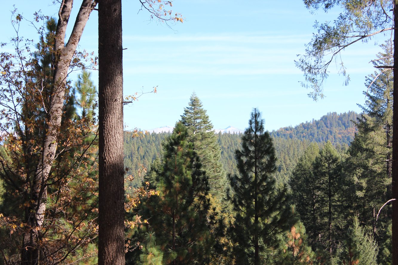
Hazards of Note:   Poison Oak, Ticks, Rattlesnakes.  Be aware of mountain bikers and equestrians on these trails.  This is a heavily forested area. Crowd Factor:   Busy, especially on weekends.
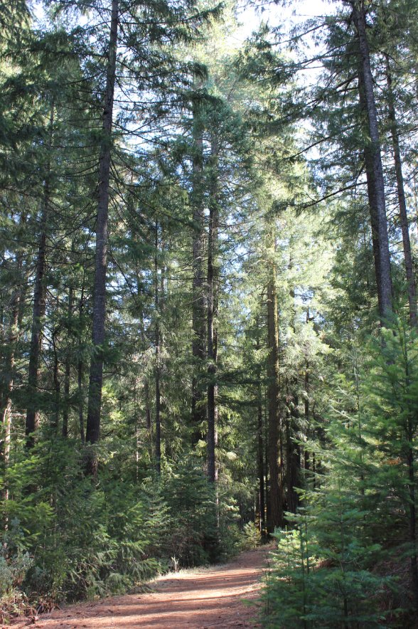
General Notes:
From the parking area, you can either take "Trail 8" in a clockwise or counter-clockwise direction.  The entire trail is 8 miles, but there are a number of forest roads which bisect the trail providing shorter access back to the start or ways to cut from one section to the next.  There are PDF maps online of the area, there is a bulletin board at the trailhead parking with this information, and I have included a picture of the trail system in the section below.  There is very limited sight for most of this trail, but it is very well maintained and following the "8" signs it is easy to navigate the entire loop.

This is the sign from Mormon Emigrant Road that you are looking for to access the parking area. Trailhead
The trailmap of the Fleming Meadow area.  The parking in the upper right is the starting point for access into the entire area. Trail map of Fleming Meadow area
Lots of open path through the trees early on, until the cover gets thicker as you get closer to Camp Creek. Starting out
There are a number of viewpoints along the trail, with sweeping vistas of the many trees in the area. Limited sight view
The steep trail off the main one down to Camp Creek is a good workout, and in the spring and early summer there would be a lot of water in this area. Camp Creek area Camp Creek area
All along the way the trail is well marked, as there are so many offshoots and branch trails for the bikers and equestrians which also make heavy use of this area.   Trail markers Trail markers
Much of the trail is in the shade, even on a warm day.
More trail
One section near the southwest corner of the 'loop' has a nice view of the Crystal Range. More views
While off looking for a geocache in the area (off the trail,) I came across this pretty tough tree which is still apparently alive and doing well. Interesting tree
Along the last third of the trail there are a lot more... trees!
It's a long way down from here More trees
GPS Track of the full hike. GPS Track of Hike