Back to index Euchre Bar Hike
Trip Date:  06/02/2017

Distance
: 5.4 Miles

Vertical Gain: 1800'

Group Size: 4
Hike Rating:  Easy   Moderate   Hard   Strenuous
Euchre Bar Hike
  Download GPXGPX for this trip
Euchre Bar Elevation Profile
Start Coordinates:   N 38 11.663, W 120 46.266     End Coordinates:   Same as start coordinates
Car Shuttle Req'd:   No Parking Directions:   From Interstate 80 take the Alta Exit to Casa Loma Rd.  Continue on Casa Loma and turn right before the overpass.  Continue and cross the railroad tracks and then bear left.  The dirt road will begin to head uphill, keep left and follow the road to the parking area coordinates. 
Hazards of Note:   Extreme elevation  change and climb back up at end of hike, rattlesnakes, ticks, poison oak. Crowd Factor:   Moderate.  Although this is a difficult trail it is popular and documented in many guidebooks. 
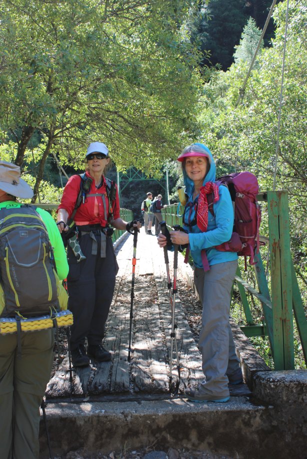
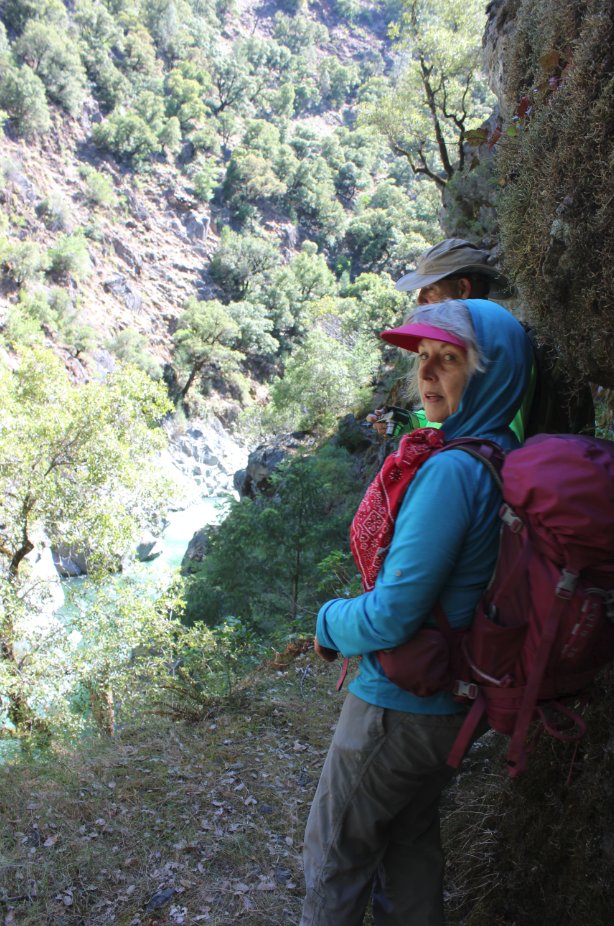
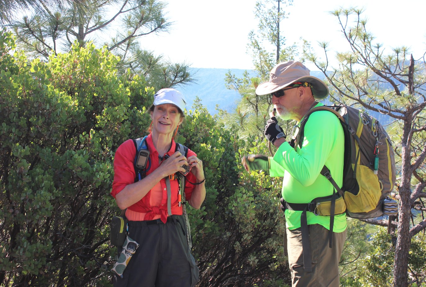
General Notes:
From the parking area, head down the dirt road for about 1/4 mile until you see a metal sign at the trailhead for "Euchre Bar" on the right side of the road.  From here, the actual trail begins and drops steeply over the next mile and a half.  Just before the you reach the bridge at the river below, there are a number of items left over from the mining days in the area scattered throughout the area.  Cross over the bridge, and there are two paths which you can go at a junction just on the other side.  To the left is a trail which ends after less than a 1/2 mile, but offers a way down to the river at an area where you can rest in some pools.  If you head right, you can head all the way to Humbug Canyon, and with planning you can even drive to the end of the trail here and leave a vehicle for transportation at the end of the journey.  Otherwise, head back up to the trailhead.

Our group ready head out from the trailhead parking area. At the trailhead
View to the east, toward the Squaw Valley mountains far up the North Fork American River canyon.
View from the parking area 
The old sign at the start of the actual trail, 1/4 mile down the road from the parking area.  Sign at the trailhead
As the trail heads down into the canyon, the terrain gets extremely rugged.  Not many people get to experience how remote this area of the Rubicon. At the bridge
Heading across the old bridge, a remarkably strong structure in this remote area.
Heading across the river
A look up the river from the bridge. View of the river from the bridge
On the opposite side of the bridge is a junction that can take you one of two ways.  To the left is a sketchy but scenic trail which ends after about a 1/2 mile high over the river.  To the right is a trail which heads up from the river a bit and heads on to Humbug Canyon 4 miles beyond.  Looking back from the other side
An old memorial sign along the sketchy section of trail headed left from the junction. Old sign on the left junction trail
Making our way along the canyon wall trail, which has some extremely narrow sections along the way. A sample of the sketchy trail
Another look down the at the river which is getting further and further from the trail along this part of the sketchy trail section. A look down at the river from the trail
The water near a beach spot just about 3/4 of a mile along the Humbug Trail fork. Heading down to a beach
Looking south, up river from the beach area where we stopped for a bit before turning around. Looking south from the beach
Lunch spot by the river.   Lunch by the river
GPS Track of the full hike. GPS Track of Hike