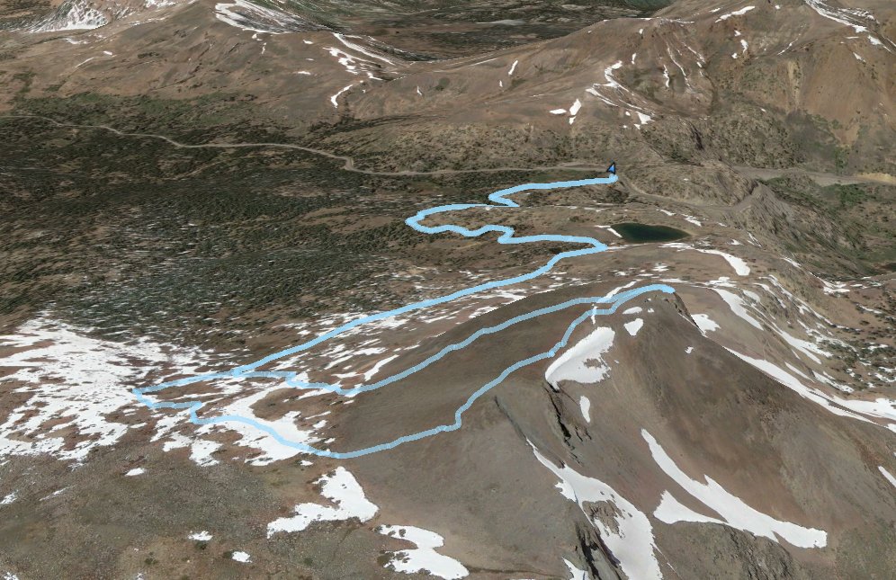
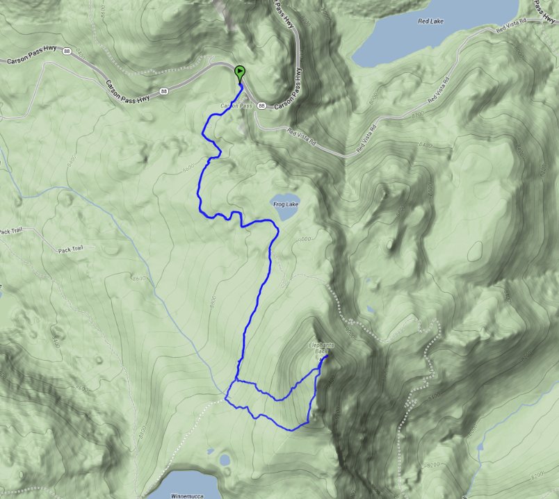
Distance: 5.1 Miles
Vertical Gain: 1000'
Group Size: 1
Hike Rating: Easy Moderate Hard Strenuous
 GPX for
this trip
GPX for
this trip

| Start Coordinates: | N 38 41.697 W 119 59.363 | End Coordinates: | Same as Start Coordinates | ||
| Car Shuttle Req'd: | No | Parking Directions: | Take Highway 88 to the parking area at the Carson Pass ranger station on the west side of the road. Pay the day use fee (summer only) and find the trailhead just to the right side (north) of the ranger station itself. | ||
| Hazards of Note: | The
scree is slippery up to the top of Elephant Back peak, but is easily
navigated and many use trails can be found angling their way to the
summit. |
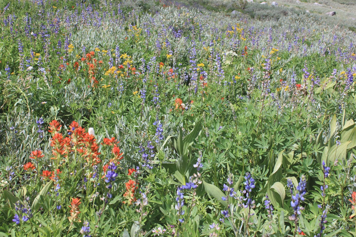
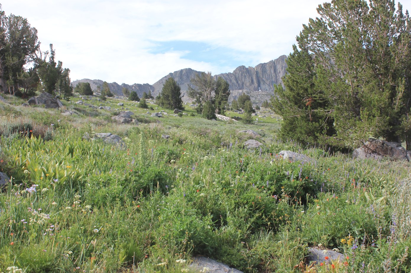
Crowd Factor: | Significant. This is a very popular summer and winter trail, with many snowshoers during the winter and even more day hikers looking to enjoy the lakes and wildflowers abundant on this hike for most of the summertime. | ||
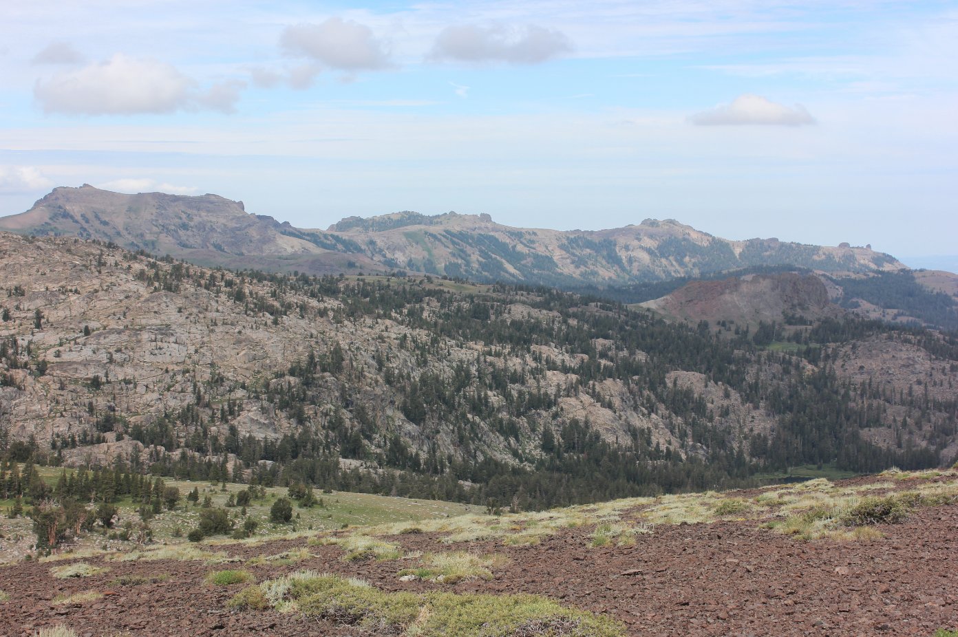
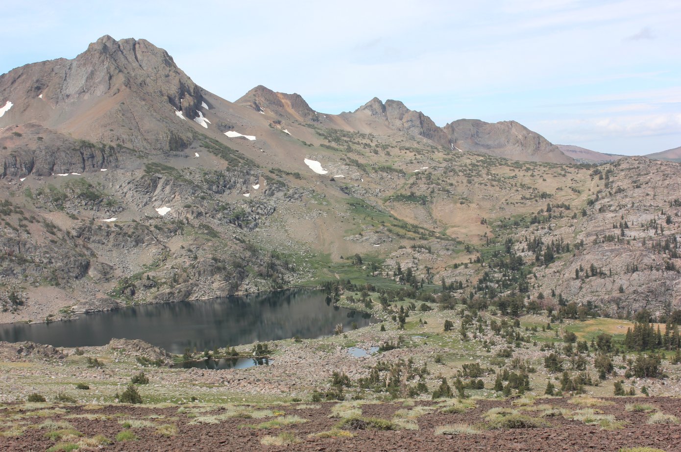
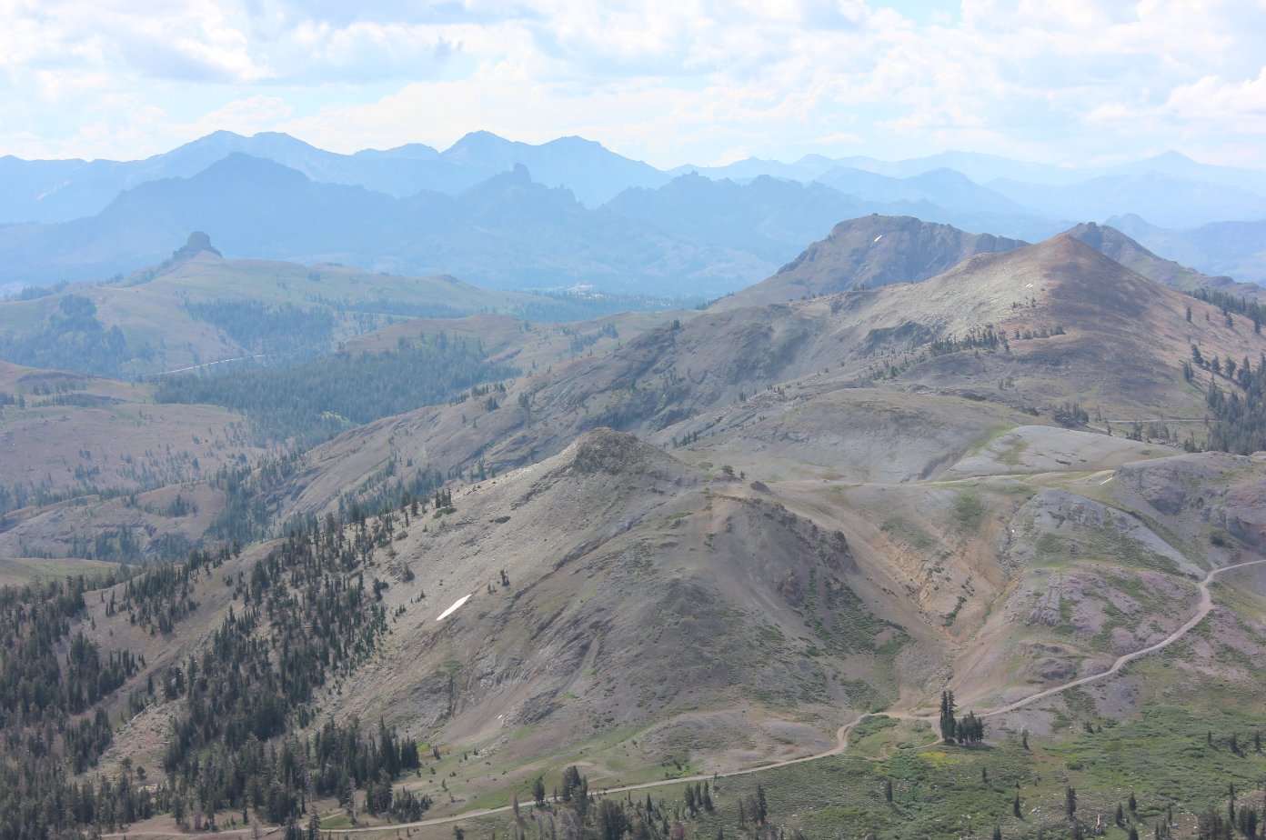
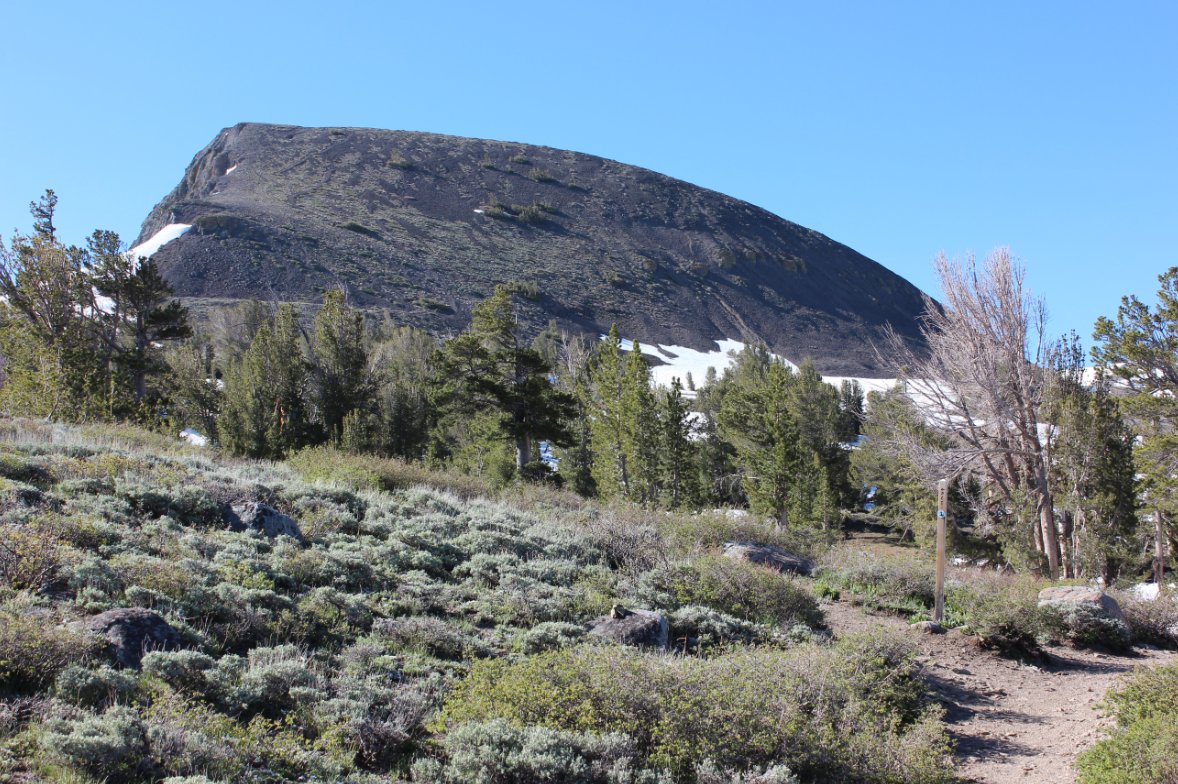
| General Notes: From the parking area on the road, head up along the Pacific Crest Trail for a little over a mile. You will reach a signpost marking the junction where the PCT turns to the left, and you will continue straight along the way toward Lake Winnemucca. The Elephant Back mountain will be on your left side this entire way, and before you reach the lake, head cross country toward the lowest point of the Elephant Back peak on it's west side. From there, just start heading NE up to the top, staying away from the sheer dropoffs on the east side of the mountain. |
|||||