Back to index Echo Peak Hike
Trip Date:  09/29/2017

Distance
: 9.0 Miles

Vertical Gain: 1400'

Group Size: 2

Hike Rating:  Easy   Moderate    Hard    Strenuous
Echo Peak Route
See video of this hike  See video of hike   Download GPX GPX for this trip
Echo Peak Elevation Profile
Start Coordinates:   N 38 50.063  W 120 02.633     End Coordinates:   Same as Start Coordinates  
Car Shuttle Req'd:   No Parking Directions:   Take Highway 50 toward Echo Summit.   Turn north on the signed road to Echo Lakes (Lincoln Highway.)  Turn north (left) again on Porcupine Road, following this all the way down to the Echo Lake Chalet parking area (or as far as possible in winter conditions.)
Hazards of Note:   Rocky terrain on this section of the Pacific Crest Trail.   Off-trail route finding necessary to reach the peak. Crowd Factor:   Busy, especially on weekends.  Parking may need to be back on the road or in the overflow lot during summer if not arriving very early in the day.
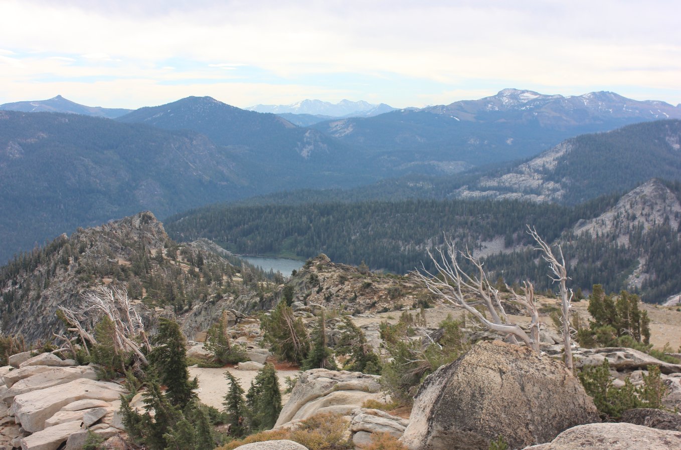
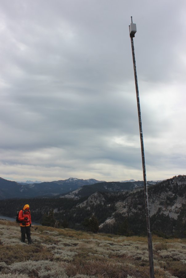
General Notes:
This hike follows the Pacific Crest trail for about three miles until you reach the Desolation Wilderness boundary about 1/2 mile past Upper Echo Lake.  As soon as you turn the corner at the wilderness sign, take the marked branch trail to the right pointed toward Triangle Lake.  Follow this trail for about a quarter of a mile and then make your way cross-country from here up the slope toward the peak, looking for the best way to navigate without having to bushwhack through brushy areas.  Head up through the tree-covered slope, until you come out into a rocky area as you near the summit.  There are a number of use trails in the area which lead toward the summit, and these are not difficult to find.  Follow these to the top of the peak.
On the way back down you have the choice to retrace the route you came up to head back down, or you can look for a safe way to go cross-country directly down from the peak toward the Pacific Crest Trail far below.  There are many ways to safely make your way down, but there are also many steep drop-offs to avoid if you choose to head this way.  

Since this is a hike into Desolation Wilderness, you will need a day permit (free at the trailhead) and the group size limit is 12.

The hike starting point at Echo Lake (from early in the spring.) Echo Lake start
Remnants of a cabin which had burned down just 2 days before our trek, along with the media picture from the South Lake Tahoe News. Remains of a cabin Remains of a cabin
The cross country section off the Triangle Lake trail which heads up to Echo Peak about a mile further ahead. Onto the cross-country section
Making our way up toward the peak, Mt. Ralston on the left and Pyramid Peak on the right begin to make appearances as you climb out of the forested areas. Mt. Ralston in the distance
A sign of unknown origin which was discovered on the way up the cross-country section toward the peak.  Note the backward spelling of the word "Echo."   Unknown Sign
The view west toward Desolation Wilderness and the Crystal Range from the top of Echo Peak.   Crystal Range
The view east toward Lake Tahoe from the top of Echo Peak.  Closest to the bottom of the picture are the two Angora Lakes and further in the distance is Fallen Leaf Lake and the terminal moraine which separates it from Lake Tahoe.   Looking east from the peak
A look south from the peak shows just a glimpse of Lower Echo Lake, with the Highway 88 peaks in the distance including Hawkins, Waterhouse and Stephens Peaks from left to right. Looking south
Checking out, and then eventually following a series of communication poles which led us most of the way back down to the PCT far below.  A couple of them were damaged or completely down from the previous winter's severe weather. Communications
A damaged communication tower discovered as we made out way down the steep side of the mountain. Making our way down the rocks
Less than 100 yards from the Desolation Wilderness boundary we were able to spot a fairly complex communication base on the side of the mountain. Communications base
A new section of the PCT and TRT flrom this summer which routes horses away from a steep section of trail just at the south end of Echo Lake. New horse bypass
GPS track of the hike starting in the far upper right. GPS Track of the hike