Back to index Cascade Falls Trail into Desolation Wilderness
Trip Date:  07/08/2014

Distance
: 3.6 Miles

Vertical Gain: 1200'

Group Size: 2

Hike Rating:  Easy   Moderate   Hard    Strenuous
Cascade Falls into Desolation Wilderness
Download GPX GPX for this trip
Cascade Falls Trail Profile
Start Coordinates:   N 38 56.768  W 120 05.883     End Coordinates:   Same as Start Coordinates  
Car Shuttle Req'd:   No Parking Directions:   Take Highway 89 to Emerald Bay on the west side of Lake Tahoe to the Bayview Campground parking area.
Hazards of Note:   Much of the hike from the start is downhill, leading to some uphill on the way back.  
If Cascade Creek is flowing, there could be difficulty crossing it (early spring and summer.)
Crowd Factor:   Busy, especially on weekends.  
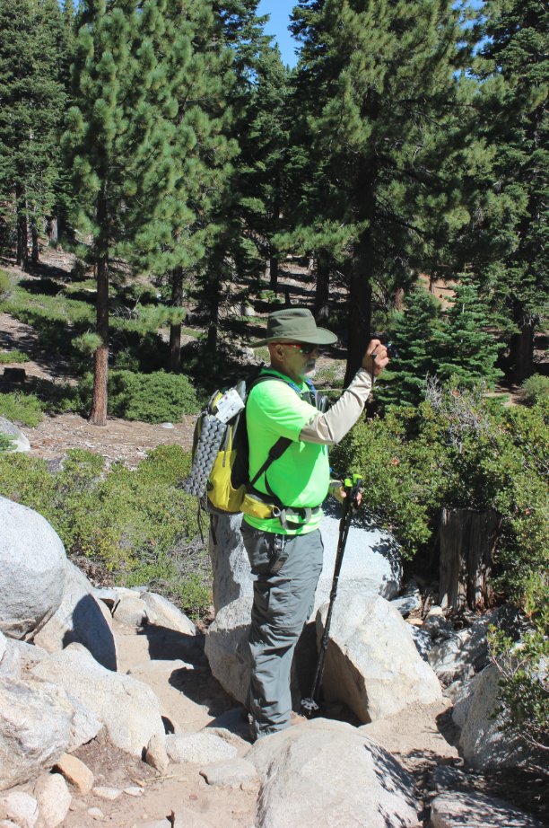
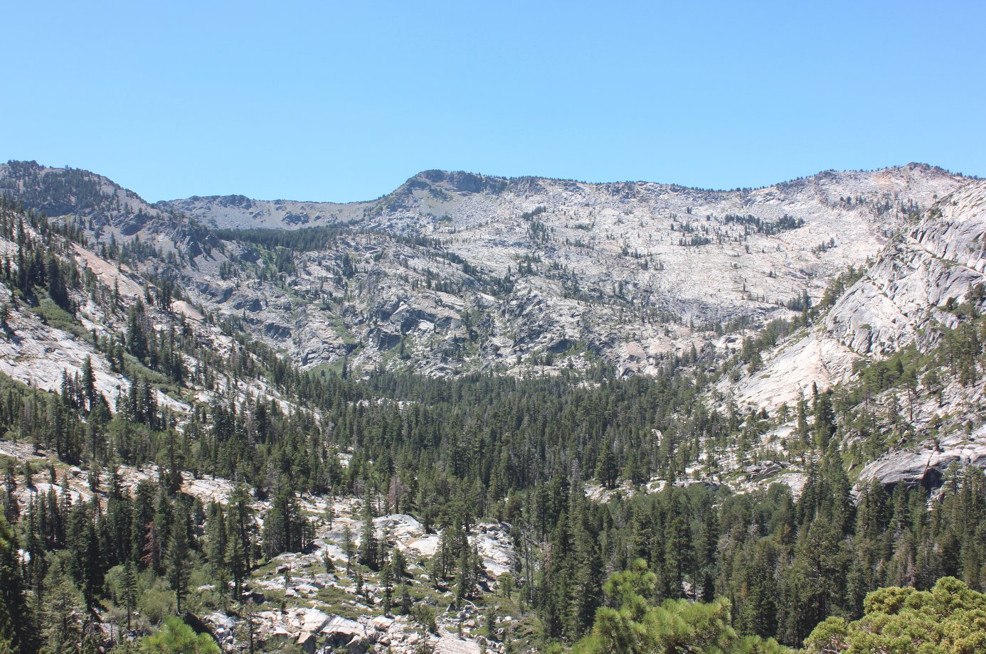
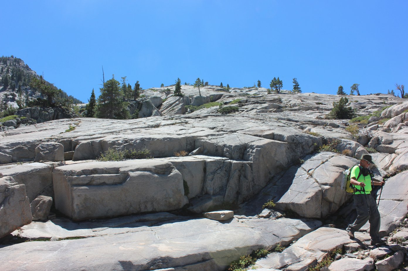
General Notes:
Starting at the Bayview Campground trailhead, take the trail to the left toward Cascade Falls and do not head up the immediately sloping upward trail toward Bayview and South Maggie's Peak.  
The first part of the trail is fairly level, and then heads downhill a little bit, before opening up to reveal some nice early views of Cascade Lake to the south.  As you approach the falls area, look for safe crossings across the water, or turn around there and head back after enjoying the area.   The falls are actually below this location on private property, but you can get a few good views of the falls from the sides of the trail.
With a Desolation Wilderness day permit, continue on to the Southwest and climb up to the first ridge dome about 800 feet higher than the falls area to gain some spectacular views of the lakes.

First view of Cascade Lake from along the early section of trail. First view of Cascade Lake from the early section of trail
My hiking partner, Mark taking in the early views of Cascade Lake.
Hiking partner on the trail
The view up the trail past the falls and into the eastern edge of Desolation Wilderness. Looking into Desolation
The section of trail which is immediately below the top of South Maggie's Peak. Hiking below South Maggie's Peak
Nearing the falls, the view of the private Cascade Lake starts to really be nice. Past Cascade Falls
If you have a Desolation Wilderness day permit, you can hike cross country past the falls to a small dome high above the lake, and get some spectacular views of Cascade and Lake Tahoe.  Nothing but a thin terminal moraine stands between the two lakes. Above the lake
From where we hiked to, you could even see South Lake Tahoe far in the distance. South Lake Tahoe
Turning around and looking to the west, a great view of the mountains that separate our location from the Pacific Crest Trail route and Dick's Pass through the heart of the Wilderness area. Looking into Desolation
Huge loads of granite are everywhere, and make the trip to the top of the first ridge an interesting adventure in finding good steps and footing not too steep.  It would be a nightmare in the rain! Granite everywhere
GPS track of the hike starting at the bottom right. GPS Track of the hike