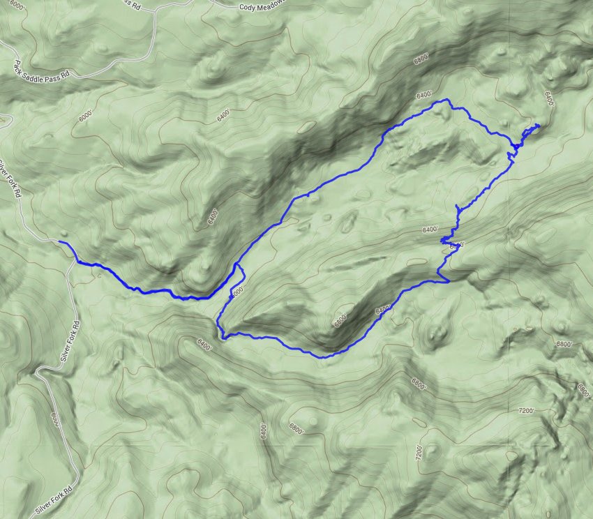
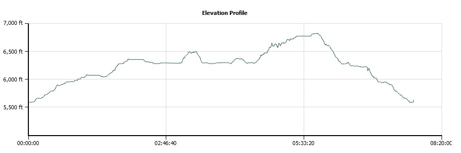
Distance: 11.0 Miles
Vertical Gain: 1200'
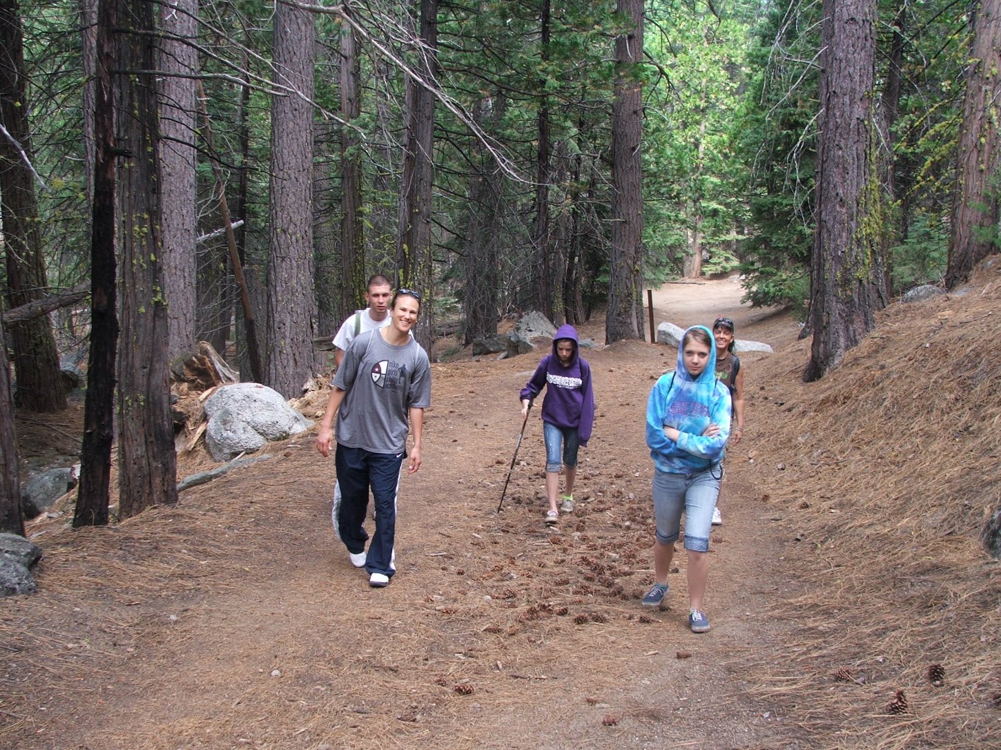
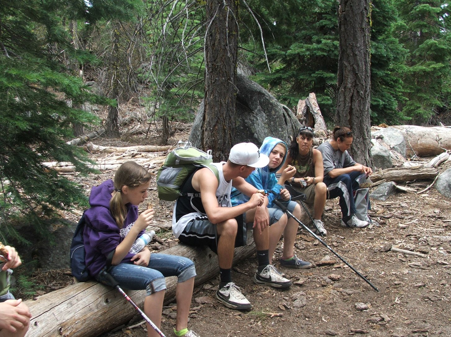
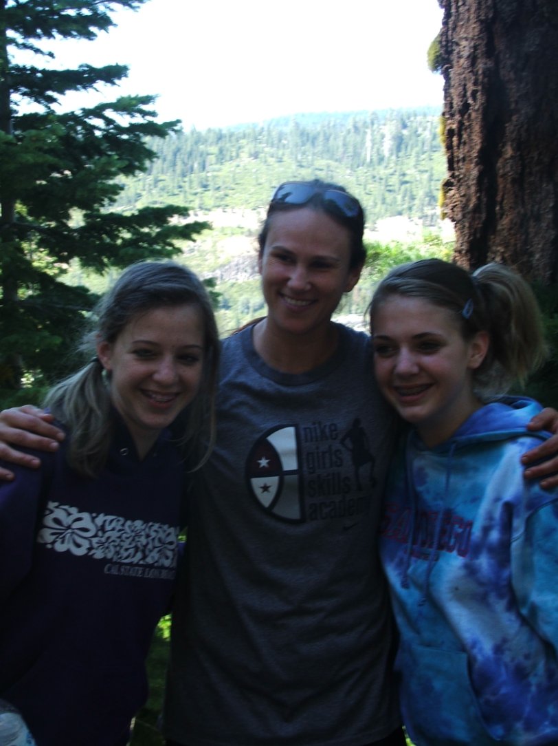
Group Size: 7
Hike Rating: Easy Moderate Hard Strenuous
 See
video of hike
See
video of hike  GPX
for
this trip
GPX
for
this trip
| Start Coordinates: | N 38 41.709, W 120 11.993 | End Coordinates: | Same as Start Coordinates | ||
| Car Shuttle Req'd: | No | Parking Directions: | From Highway 50, take Silver Fork Road south about 10 miles until you get to the Caples Creek Trailhead parking area, just before a bridge that crosses Silver Fork Creek. | ||
| Hazards of Note: | Weather in this area can
change quickly so be prepared for various temperatures and rain. |
Crowd Factor: | Moderate. This is a relatively popular hike at a lower elevation with some nice wildflower displays in the spring and early summer. | ||
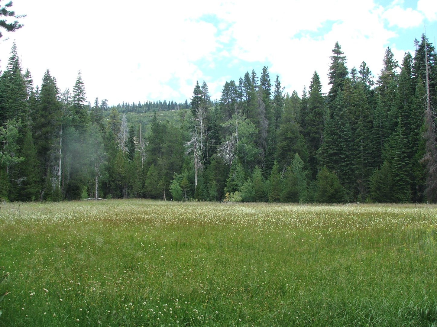
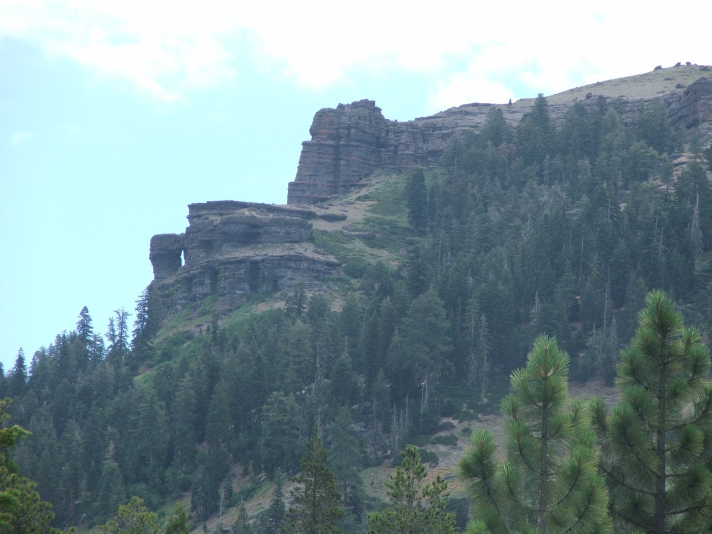
| General Notes: From the parking area head south for the first mile of the trail. The trail will soon bend to the left, paralleling Caples Creek. There is a bridge which will cross the creek, but keep going straight as this bridge is the way you will return. The first meadow you will reach is Jake Schneider Meadow, which has a single-track trail directly through the middle of the meadow. Before the second meadow there is a trail junction to head up the ridge to the left, but you will head right toward Government Meadow. Past the meadow is a nice rocky outcropping to enjoy the area, and then to complete a circle hike you will have to cross Caples Creek at this location. Many topo maps include an "Old Silver Fork Trail" at this point, but it was not distingishable by anyone in our group. We cross country climbed up from this area along the south ridge, until we picked up the Silver Fork Trail on the other side from the way we came into the area. This trail will take you all the way back east until it crosses Caples Creek at the bridge passed early on in the hike, and then the last mile has you retracing the start of the hike back to the car. |
|||||