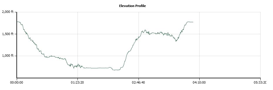
Distance: 8.0 Miles
Vertical Gain: 1900'
Group Size: 2
Hike Rating: Easy Moderate Hard Strenuous
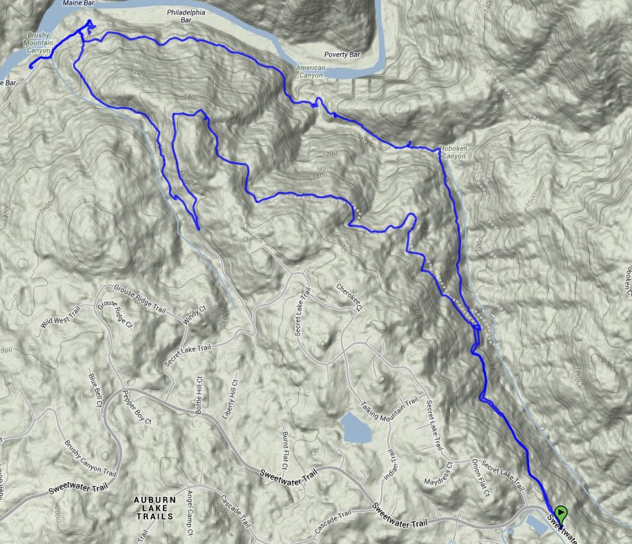
 GPX for
this trip
GPX for
this trip
| Start Coordinates: | N 38 54.803 W 120 55.628 | End Coordinates: | Same as Start Coordinates | ||
| Car Shuttle Req'd: | No | Parking Directions: | Take Highway 49 to the town of
Cool. Turn East on Highway 193 (Georgetown Rd) then turn left on Sweetwater Trail. Parking is just about 1/4 up the road, just before a gated community. |
||
| Hazards of Note: | Poison Oak Snakes Ticks |
Crowd Factor: | Very isolated | ||
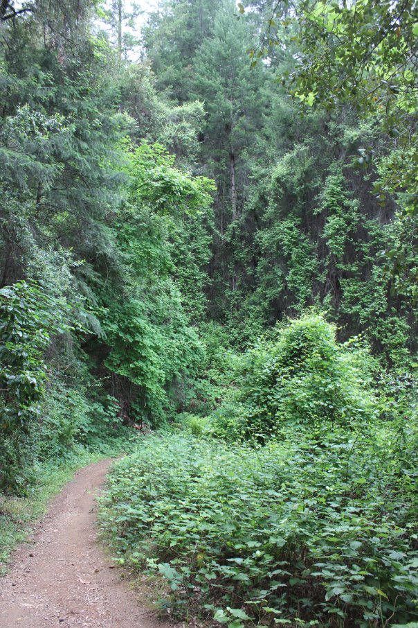
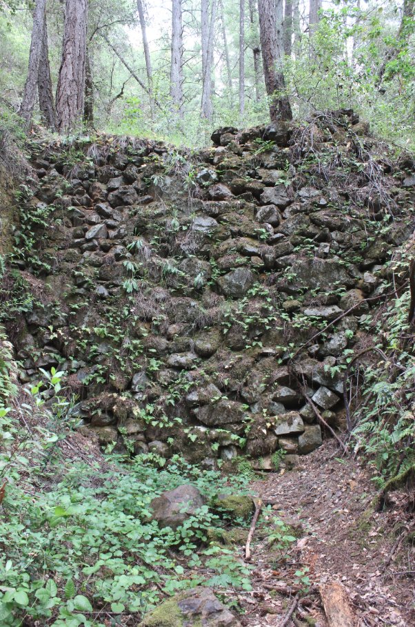
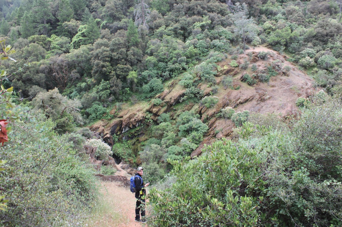
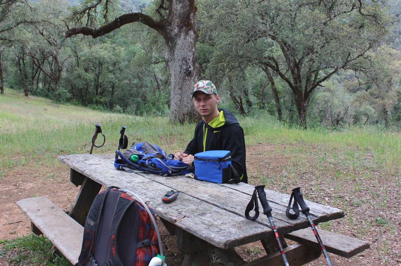
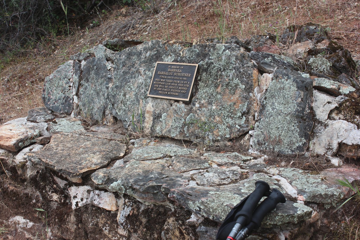
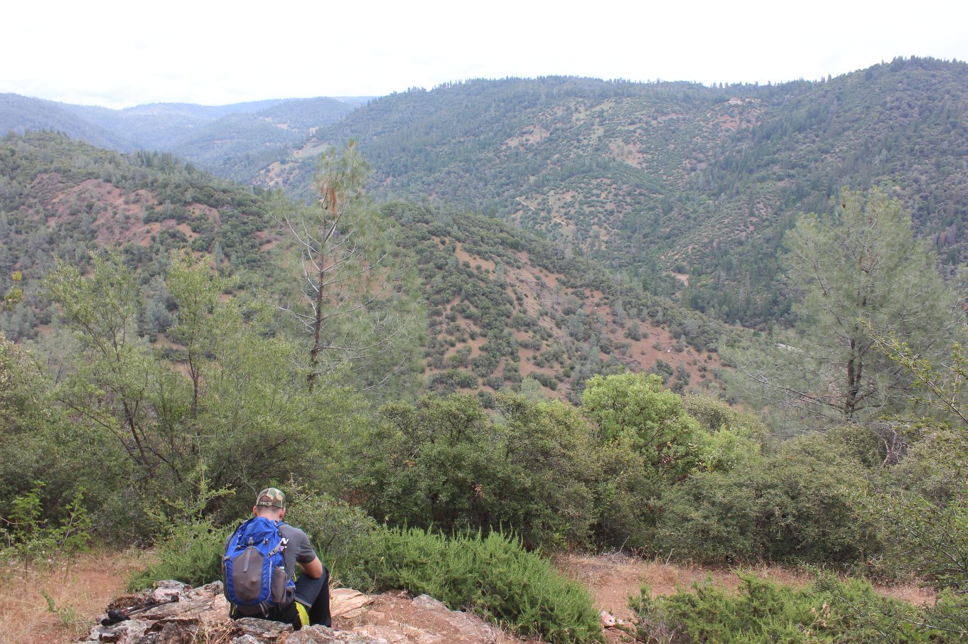
| General Notes: This trail has a pretty significant descent for most of the first few miles, with a steep canyon off to the right as you make your way down the trail. You are in shade for most of the trip down to the river, with intermittent views through the trees. Just off the trail a couple of miles in is a waterfall with a use trail leading down to where you can see the water. I am guessing that in the late summer this waterfall will be negligible or non-existant. On the way back we took the Maine Bar trail, which is an extremely steep and sunny section of the trail, giving you the chance to gain back most of the elevation within a relatively short distance. The advantage of this was that we didn't have to backtrack for much of the way. Take the Wendell T. Robie trail and you will come to an outstanding view of the river canyon and the memorial bench for Barbara Schoener, who died near this area from a Mountain Lion attack in 1993. |
|||||